4401 Airline Rd Anderson, SC 29624
--
Bed
--
Bath
--
Sq Ft
26.01
Acres
About This Home
This home is located at 4401 Airline Rd, Anderson, SC 29624. 4401 Airline Rd is a home located in Anderson County with nearby schools including Crescent High School.
Ownership History
Date
Name
Owned For
Owner Type
Purchase Details
Closed on
Sep 18, 2013
Sold by
Huckaby Richard and Huckaby Nancy
Bought by
Huckaby Richard B and Huckaby Nancy C
Home Financials for this Owner
Home Financials are based on the most recent Mortgage that was taken out on this home.
Original Mortgage
$18,000
Interest Rate
4.57%
Mortgage Type
New Conventional
Purchase Details
Closed on
Sep 16, 2013
Sold by
Suntrust Bank
Bought by
Huckaby Richard and Huckaby Nancy
Home Financials for this Owner
Home Financials are based on the most recent Mortgage that was taken out on this home.
Original Mortgage
$18,000
Interest Rate
4.57%
Mortgage Type
New Conventional
Purchase Details
Closed on
Jul 29, 2010
Sold by
Meehan Jerry A
Bought by
Woodfern Estates Inc
Create a Home Valuation Report for This Property
The Home Valuation Report is an in-depth analysis detailing your home's value as well as a comparison with similar homes in the area
Home Values in the Area
Average Home Value in this Area
Purchase History
| Date | Buyer | Sale Price | Title Company |
|---|---|---|---|
| Huckaby Richard B | -- | -- | |
| Huckaby Richard | $45,000 | -- | |
| Woodfern Estates Inc | -- | -- |
Source: Public Records
Mortgage History
| Date | Status | Borrower | Loan Amount |
|---|---|---|---|
| Closed | Huckaby Richard B | $18,000 |
Source: Public Records
Tax History Compared to Growth
Tax History
| Year | Tax Paid | Tax Assessment Tax Assessment Total Assessment is a certain percentage of the fair market value that is determined by local assessors to be the total taxable value of land and additions on the property. | Land | Improvement |
|---|---|---|---|---|
| 2024 | $31 | $90 | $90 | $0 |
| 2023 | $31 | $90 | $90 | $0 |
| 2022 | $30 | $90 | $90 | $0 |
| 2021 | $30 | $90 | $90 | $0 |
| 2020 | $30 | $90 | $90 | $0 |
| 2019 | $30 | $90 | $90 | $0 |
| 2018 | $30 | $90 | $90 | $0 |
| 2017 | -- | $90 | $90 | $0 |
| 2016 | $29 | $90 | $90 | $0 |
| 2015 | $29 | $90 | $90 | $0 |
| 2014 | $29 | $2,590 | $2,590 | $0 |
Source: Public Records
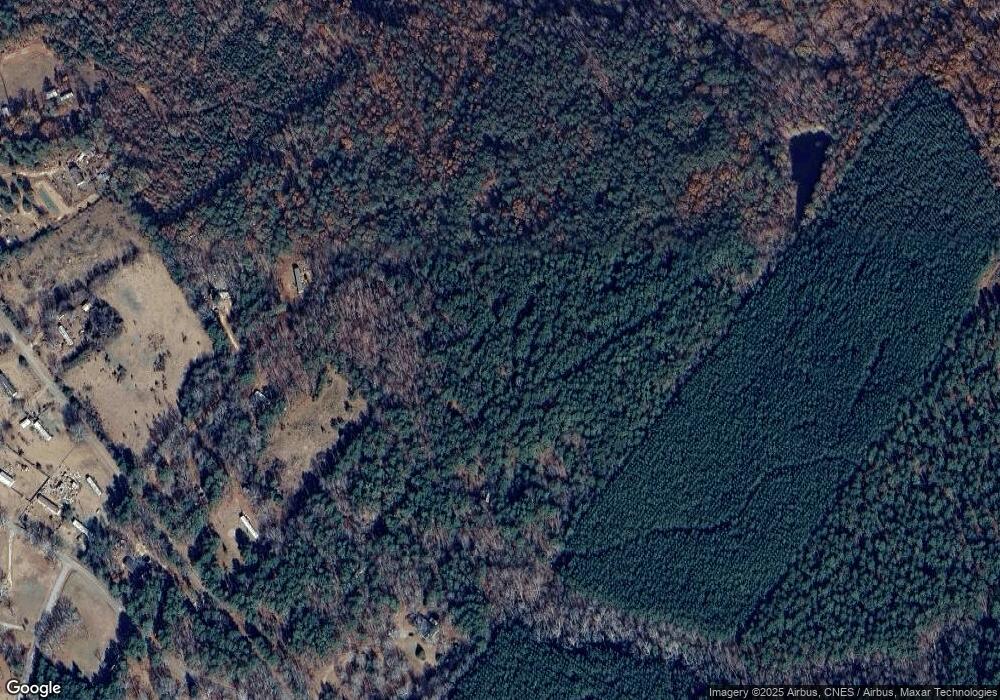
Map
Nearby Homes
- 00 Varennes Church Rd
- 121 Wentzky Rd
- 0 Wentzky Rd
- 3949 S Carolina 413
- 4261 S Carolina 413
- 130 Harmony Rd
- 4715 Highway 413
- 794 Hebron Church Rd
- 112 Burdette Rd
- 1617 Due Hwy W Unit (lot 3)
- 1617 Due Hwy W Unit (lot 2)
- 1617 Due Hwy W Unit (lot 1)
- 1105 Sexton Gin Rd
- 0 Mellrich Rd
- 506 Farmer St
- 530 Farmer St
- 239 Samuel Camp Rd
- 100 Erwin Cir
- 510 Farmer St
- 194 Winfred Brock Rd
- 1111 Leatherdale Rd
- 4535 Airline Rd
- 4211 Airline Rd
- 1118 Leatherdale Rd
- 1039 Leatherdale Rd
- 4530 Airline Rd
- 343 Drake Cir
- 1038 Leatherdale Rd
- 334 Drake Cir
- 1116 Leatherdale Rd
- 103 Drake Cir
- 337 Drake Cir
- 105 Drake Cir
- 102 Drake Cir
- 109 Drake Cir
- 331 Drake Cir
- 317 Drake Cir
- 315 Drake Cir
- 321 Drake Cir
- 0 Drake Cir