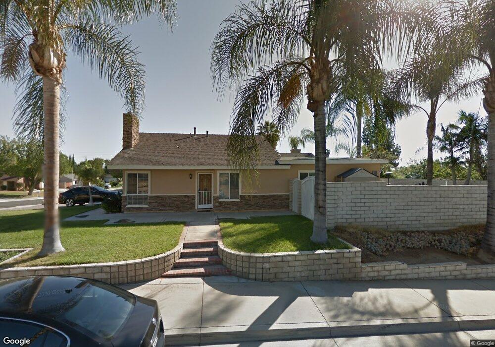
4401 Clarksdale Dr Riverside, CA 92505
La Sierra NeighborhoodEstimated Value: $647,000 - $736,000
About This Home
This home is located at 4401 Clarksdale Dr, Riverside, CA 92505 and is currently estimated at $687,317, approximately $375 per square foot. 4401 Clarksdale Dr is a home located in Riverside County with nearby schools including S. Christa Mcauliffe Elementary School, Ysmael Villegas Middle School, and La Sierra High School.
Ownership History
We collect this data history from publicly available records. To have your information removed, we recommend requesting removal directly through your county’s website.
Purchase Details
Purchase Details
Home Values in the Area
Average Home Value in this Area
Purchase History
We collect this data history from publicly available records. To have your information removed, we recommend requesting removal directly through your county’s website.
| Date | Buyer | Sale Price | Title Company |
|---|---|---|---|
| -- | None Listed On Document | ||
| $103,000 | First American Title Ins Co |
Mortgage History
We collect this data history from publicly available records. To have your information removed, we recommend requesting removal directly through your county’s website.
| Date | Status | Borrower | Loan Amount |
|---|---|---|---|
| Previous Owner | $223,000 | ||
| Previous Owner | $172,000 | ||
| Previous Owner | $400,000 | ||
| Previous Owner | $50,000 | ||
| Previous Owner | $200,000 | ||
| Previous Owner | $50,000 | ||
| Previous Owner | $160,000 | ||
| Previous Owner | $40,000 | ||
| Previous Owner | $109,000 | ||
| Previous Owner | $109,294 |
Tax History
We collect this data history from publicly available records. To have your information removed, we recommend requesting removal directly through your county’s website.
| Year | Tax Paid | Tax Assessment Tax Assessment Total Assessment is a certain percentage of the fair market value that is determined by local assessors to be the total taxable value of land and additions on the property. | Land | Improvement |
|---|---|---|---|---|
| 2025 | $3,122 | $256,270 | $66,424 | $189,846 |
| 2023 | $3,022 | $246,321 | $63,846 | $182,475 |
| 2022 | $2,795 | $241,493 | $62,595 | $178,898 |
| 2021 | $2,756 | $236,759 | $61,368 | $175,391 |
| 2020 | $2,712 | $234,332 | $60,739 | $173,593 |
| 2019 | $2,675 | $229,739 | $59,549 | $170,190 |
| 2018 | $2,637 | $225,235 | $58,383 | $166,852 |
| 2017 | $2,587 | $220,820 | $57,239 | $163,581 |
| 2016 | $2,543 | $216,491 | $56,117 | $160,374 |
| 2015 | $2,505 | $213,241 | $55,275 | $157,966 |
| 2014 | $2,495 | $209,067 | $54,194 | $154,873 |
Map
- 4431 Clarksdale Dr
- 4352 Blueridge Dr
- 4247 Bravado
- 11265 Creekdale Way
- 4696 Parkscape Dr
- 11514 Trailway Dr
- 0 Bushnell Ave
- 4190 Hines Ave
- 11563 Trailway Dr
- 11499 Bridgeway Dr
- 11341 Rancho la Brea Dr
- 4123 Polk St
- 11535 Springwood Ct
- 4997 Hollyhock Ln
- 0 Rancho Corto Dr
- 10852 Kloiber St
- 11401 Rancho Del Oro Dr
- 11325 Magnolia Ave
- 4998 Bushnell Ave
- 3894 Polk St
- 4407 Clarksdale Dr
- 4411 Clarksdale Dr
- 11131 Cameron Dr
- 4419 Clarksdale Dr
- 11141 Cameron Dr
- 11127 Cameron Dr
- 11121 Cameron Dr
- 4410 Clarksdale Dr
- 4404 Clarksdale Dr
- 4414 Clarksdale Dr
- 4425 Clarksdale Dr
- 11151 Cameron Dr
- 11115 Cameron Dr
- 4420 Clarksdale Dr
- 4451 Lyon Ave
- 4450 Clarksdale Dr
- 11157 Cameron Dr
- 11111 Cameron Dr
- 11136 Cameron Dr
- 11130 Cameron Dr
Ask me questions while you tour the home.