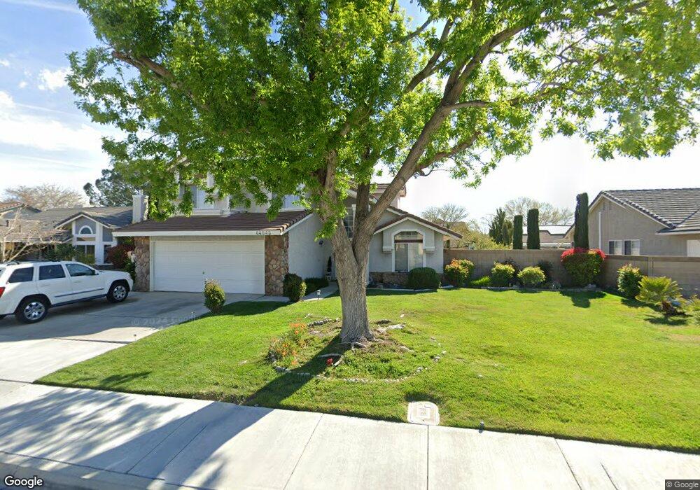
44046 Colony Ct Lancaster, CA 93536
West Lancaster NeighborhoodEstimated Value: $518,000 - $549,000
3
Beds
3
Baths
2,188
Sq Ft
$244/Sq Ft
Est. Value
About This Home
This home is located at 44046 Colony Ct, Lancaster, CA 93536 and is currently estimated at $533,307, approximately $243 per square foot. 44046 Colony Ct is a home located in Los Angeles County with nearby schools including West Wind Elementary School, Amargosa Creek Middle School, and Lancaster High School.
Ownership History
Date
Name
Owned For
Owner Type
Purchase Details
Closed on
Mar 16, 2024
Sold by
Riddle Ann
Bought by
Ann Riddle Real Estate Trust and Riddle
Current Estimated Value
Purchase Details
Closed on
May 20, 2009
Sold by
Phillips Donald L and Phillips Alison
Bought by
Riddle Ann
Purchase Details
Closed on
Dec 18, 2002
Sold by
Kamm Mark E
Bought by
Phillips Donald L
Home Financials for this Owner
Home Financials are based on the most recent Mortgage that was taken out on this home.
Original Mortgage
$159,900
Interest Rate
6.06%
Create a Home Valuation Report for This Property
The Home Valuation Report is an in-depth analysis detailing your home's value as well as a comparison with similar homes in the area
Home Values in the Area
Average Home Value in this Area
Purchase History
| Date | Buyer | Sale Price | Title Company |
|---|---|---|---|
| Ann Riddle Real Estate Trust | -- | None Listed On Document | |
| Riddle Ann | $195,000 | Fidelity National Title Co | |
| Phillips Donald L | $210,000 | First American Title Ins Co |
Source: Public Records
Mortgage History
| Date | Status | Borrower | Loan Amount |
|---|---|---|---|
| Previous Owner | Phillips Donald L | $159,900 |
Source: Public Records
Tax History
| Year | Tax Paid | Tax Assessment Tax Assessment Total Assessment is a certain percentage of the fair market value that is determined by local assessors to be the total taxable value of land and additions on the property. | Land | Improvement |
|---|---|---|---|---|
| 2025 | $4,279 | $251,094 | $50,213 | $200,881 |
| 2024 | $4,279 | $246,172 | $49,229 | $196,943 |
| 2023 | $4,192 | $241,346 | $48,264 | $193,082 |
| 2022 | $4,086 | $236,615 | $47,318 | $189,297 |
| 2021 | $3,683 | $231,977 | $46,391 | $185,586 |
| 2019 | $3,579 | $225,099 | $45,016 | $180,083 |
| 2018 | $3,516 | $220,686 | $44,134 | $176,552 |
| 2016 | $3,325 | $212,119 | $42,421 | $169,698 |
| 2015 | $3,283 | $208,933 | $41,784 | $167,149 |
| 2014 | $3,258 | $204,841 | $40,966 | $163,875 |
Source: Public Records
Map
Nearby Homes
- 44047 Colony Ct
- 3812 Jonathon Ct
- 3812 Jonathan Ct
- 44128 Westridge Dr
- 44137 37th St W
- 4019 W Avenue j9
- 44273 Palo Verde St
- 44235 Westridge Dr
- 3832 W Avenue j11
- 4019 W Avenue J
- 4225 Vahan Ct
- 0 40th St W Unit SR25272825
- 0 40th St W Unit PW24197213
- 0 40th St W Unit OC25055748
- 0 40th St W Unit SR25272817
- 0 40th St W Unit 25008921
- 0 40th St W Unit 25008920
- 3525 W Avenue j3
- 4244 Jonathon St
- 44302 Marbella St
- 44056 Colony Ct
- 44038 Colony Ct
- 44047 Countryside Dr
- 44057 Countryside Dr
- 44039 Countryside Dr
- 44032 Colony Dr
- 44032 Colony Ct
- 44062 Colony Ct
- 44063 Countryside Dr
- 44055 Colony Ct
- 44031 Countryside Dr
- 44039 Colony Ct
- 44033 Countryside Dr
- 44061 Colony Ct
- 44033 Colony Ct
- 3823 Jonathan Ct
- 3823 Jonathon Ct
- 44101 Countryside Dr
- 3815 Jonathan Ct
- 44070 Colony Ct
Your Personal Tour Guide
Ask me questions while you tour the home.