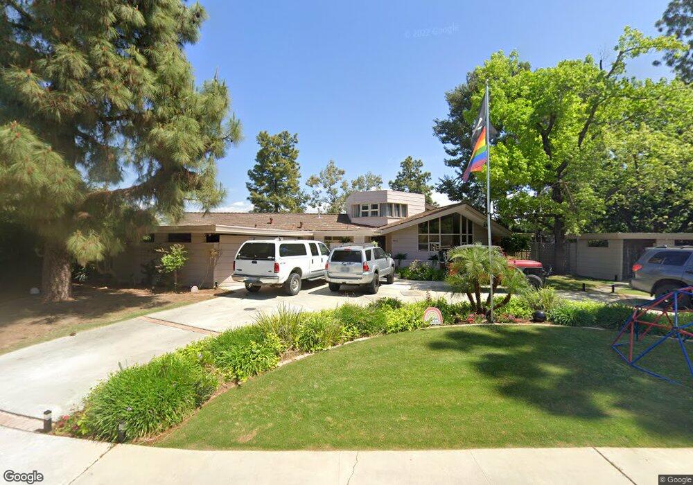
4407 Bluff St Bakersfield, CA 93306
College Heights NeighborhoodEstimated Value: $469,867 - $542,000
5
Beds
3
Baths
2,961
Sq Ft
$171/Sq Ft
Est. Value
About This Home
This home is located at 4407 Bluff St, Bakersfield, CA 93306 and is currently estimated at $507,217, approximately $171 per square foot. 4407 Bluff St is a home located in Kern County with nearby schools including Colonel Howard Nichols Elementary School, Chipman Junior High School, and East Bakersfield High School.
Ownership History
Date
Name
Owned For
Owner Type
Purchase Details
Closed on
Jun 30, 2010
Sold by
Magargee Mark R and Magargee Sheryl L
Bought by
Gianquinto Jason D and Gianquinto Leanne C
Current Estimated Value
Home Financials for this Owner
Home Financials are based on the most recent Mortgage that was taken out on this home.
Original Mortgage
$221,600
Outstanding Balance
$145,776
Interest Rate
4.52%
Mortgage Type
New Conventional
Estimated Equity
$361,441
Purchase Details
Closed on
May 17, 2006
Sold by
Michelsen Ingrid and Michelsen Family Trust
Bought by
Magargee Mark R and Magargee Sheryl L
Home Financials for this Owner
Home Financials are based on the most recent Mortgage that was taken out on this home.
Original Mortgage
$432,000
Interest Rate
6.62%
Mortgage Type
Purchase Money Mortgage
Create a Home Valuation Report for This Property
The Home Valuation Report is an in-depth analysis detailing your home's value as well as a comparison with similar homes in the area
Home Values in the Area
Average Home Value in this Area
Purchase History
| Date | Buyer | Sale Price | Title Company |
|---|---|---|---|
| Gianquinto Jason D | $277,000 | Ticor Title Company Of Ca | |
| Magargee Mark R | $540,000 | Ticor Title Company Of Ca |
Source: Public Records
Mortgage History
| Date | Status | Borrower | Loan Amount |
|---|---|---|---|
| Open | Gianquinto Jason D | $221,600 | |
| Previous Owner | Magargee Mark R | $432,000 |
Source: Public Records
Tax History
| Year | Tax Paid | Tax Assessment Tax Assessment Total Assessment is a certain percentage of the fair market value that is determined by local assessors to be the total taxable value of land and additions on the property. | Land | Improvement |
|---|---|---|---|---|
| 2025 | $4,323 | $316,437 | $38,430 | $278,007 |
| 2024 | $4,236 | $310,233 | $37,677 | $272,556 |
| 2023 | $4,236 | $304,151 | $36,939 | $267,212 |
| 2022 | $4,150 | $298,188 | $36,215 | $261,973 |
| 2021 | $4,019 | $292,342 | $35,505 | $256,837 |
| 2020 | $3,977 | $289,345 | $35,141 | $254,204 |
| 2019 | $3,897 | $289,345 | $35,141 | $254,204 |
| 2018 | $3,803 | $278,111 | $33,777 | $244,334 |
| 2017 | $3,782 | $272,659 | $33,115 | $239,544 |
| 2016 | $3,445 | $267,314 | $32,466 | $234,848 |
| 2015 | $3,428 | $263,300 | $31,979 | $231,321 |
| 2014 | $3,316 | $258,143 | $31,353 | $226,790 |
Source: Public Records
Map
Nearby Homes
- 3010 Panorama Dr
- 2848 Summit Cir
- 2931 Crest Dr
- 2831 Crest Dr
- 4200 Boise St Unit 21B
- 2913 Harmony Dr
- 3319 Crest Dr
- 3901 Noel Place
- 3701 Wenatchee Ave
- 3206 Candlewood Dr
- 3313 Century Dr
- 3516 Harmony Dr
- 3612 Christmas Tree Ln
- 3707 Panorama Dr
- 3516 Dana St Unit 3
- 3516 Dana St Unit 10
- 3616 Century Dr
- 3708 Harmony Dr
- 2801 Kaibab Ave
- 2701 Kaibab Ave
- 4413 Bluff St
- 4325 Bluff St
- 2813 Rio Vista Dr
- 2808 Silver Dr
- 2820 Rio Vista Dr
- 2814 Rio Vista Dr
- 2801 Rio Vista Dr
- 4315 Bluff St
- 2800 Silver Dr
- 2808 Rio Vista Dr
- 2813 Silver Dr
- 2807 Silver Dr
- 2721 Rio Vista Dr
- 2720 Silver Dr
- 2800 Rio Vista Dr
- 2801 Silver Dr
- 2900 Panorama Dr
- 2820 Panorama Dr
- 2814 Panorama Dr
- 2808 Panorama Dr
Your Personal Tour Guide
Ask me questions while you tour the home.