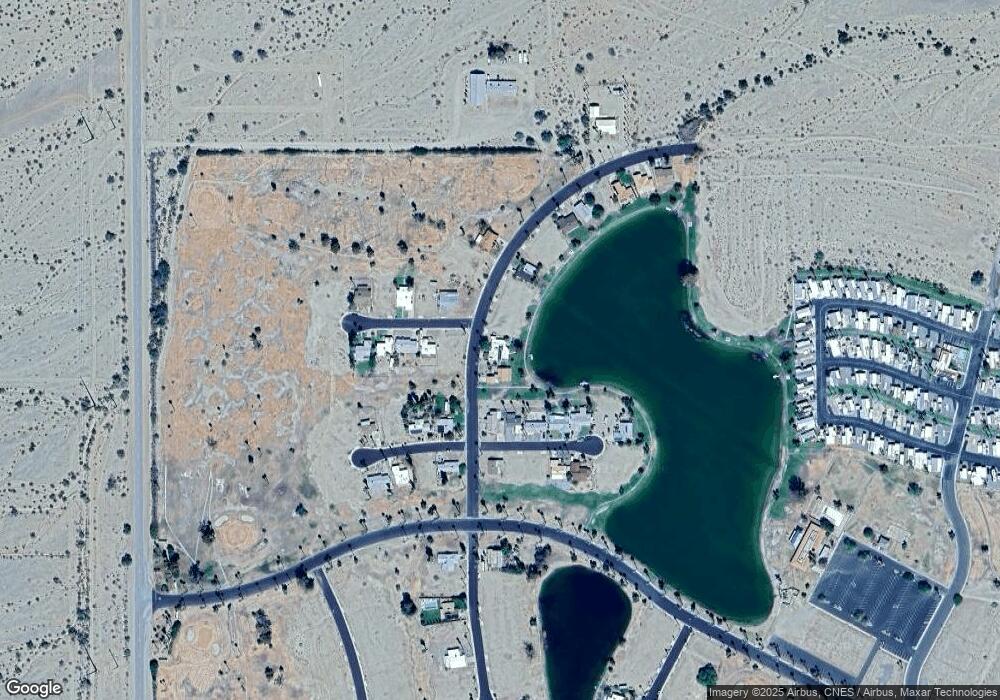
44071 Shasta Dr Desert Center, CA 92239
Estimated Value: $198,000 - $288,000
2
Beds
2
Baths
1,444
Sq Ft
$164/Sq Ft
Est. Value
About This Home
This home is located at 44071 Shasta Dr, Desert Center, CA 92239 and is currently estimated at $236,572, approximately $163 per square foot. 44071 Shasta Dr is a home located in Riverside County with nearby schools including Eagle Mountain Elementary School.
Ownership History
Date
Name
Owned For
Owner Type
Purchase Details
Closed on
Jun 27, 2024
Sold by
Paul John E
Bought by
John And Shelley Paul Family Trust and Paul
Current Estimated Value
Purchase Details
Closed on
Feb 5, 2021
Sold by
Quate Sharon L and Quate Sharon L
Bought by
Paul John B
Purchase Details
Closed on
Jul 19, 2016
Sold by
Quate William and Quate Sharon
Bought by
The Sharon L & William Quate Living Trus
Purchase Details
Closed on
Nov 25, 2011
Sold by
Keith G Rogers Trust
Bought by
Quate William and Quate Sharon A
Purchase Details
Closed on
Oct 16, 2002
Sold by
Rogers Keith
Bought by
Rogers Keith G and The Keith Rogers Trust
Create a Home Valuation Report for This Property
The Home Valuation Report is an in-depth analysis detailing your home's value as well as a comparison with similar homes in the area
Home Values in the Area
Average Home Value in this Area
Purchase History
| Date | Buyer | Sale Price | Title Company |
|---|---|---|---|
| John And Shelley Paul Family Trust | -- | None Listed On Document | |
| Paul John B | -- | None Available | |
| The Sharon L & William Quate Living Trus | -- | None Available | |
| Quate William | $95,000 | None Available | |
| Rogers Keith G | -- | -- |
Source: Public Records
Tax History Compared to Growth
Tax History
| Year | Tax Paid | Tax Assessment Tax Assessment Total Assessment is a certain percentage of the fair market value that is determined by local assessors to be the total taxable value of land and additions on the property. | Land | Improvement |
|---|---|---|---|---|
| 2025 | $1,745 | $119,310 | $62,794 | $56,516 |
| 2023 | $1,721 | $114,678 | $60,356 | $54,322 |
| 2022 | $1,698 | $112,430 | $59,173 | $53,257 |
| 2021 | $1,577 | $100,779 | $52,789 | $47,990 |
| 2020 | $1,464 | $89,981 | $47,133 | $42,848 |
| 2019 | $1,437 | $87,360 | $45,760 | $41,600 |
| 2018 | $1,402 | $84,000 | $44,000 | $40,000 |
| 2017 | $1,392 | $83,000 | $44,000 | $39,000 |
| 2016 | $1,498 | $95,000 | $50,000 | $45,000 |
| 2015 | $1,499 | $95,000 | $50,000 | $45,000 |
| 2014 | $1,501 | $95,000 | $50,000 | $45,000 |
Source: Public Records
Map
Nearby Homes
- 44040 Shadow Way
- 44120 Crystal Way
- 26731 Greenvale Way
- 0 Gas Line Rd
- 0 Power Line Rd
- 24511 Rice Rd
- 24101 Rice Rd
- 0 Vacant Land Unit IV25028189
- 39905 Capp Rd
- 0 Paled Dunes Dr Ford Dry Lake Rd Unit WS25220188
- 0 Paled Dunes Dr Ford Dry Lake Rd Unit WS25219412
- 0 810-311-004 & 810-311-010 Unit MC25222847
- 0 Apn 810-311-004 & 810-311-010 Unit 225123999
- 0 No Address Available Unit ND25128676
- 0 Paled Dunes Drive Ford Dry Lake Rd Unit WS25220211
- 0 Olde Dale Rd Unit OC25084824
- 0 No Address Available Unit ND25192331
- 120 Acres
- 0 Chuckwalla Valley Rd Unit WS25025096
- 0 Native Bird
- 44081 Shasta Dr
- 44080 Crystal Way
- 44060 Shadow Way
- 44101 Crystal Way
- 44020 Shadow Way
- 44031 Shasta Dr
- 44000 Shadow Way
- 44080 Shadow Way
- 44121 Crystal Way
- 41 Shasta Dr
- 4400 Shadow Way
- 0 Shadow Way Unit EV14204487
- 5 Shasta Dr
- 4 Shasta Dr
- 2 Shasta Dr
- 1 Shasta Dr
- 0 Shasts Dr Unit EV15131729
- 0 Shadow Way Unit 214015662DA
- 43980 Shadow Way
- 44100 Shadow Way
