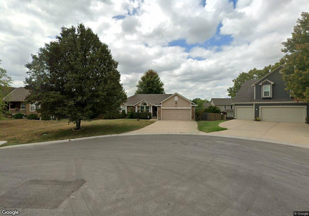
4408 SW Georgetown Cir Lees Summit, MO 64082
Estimated Value: $313,000 - $406,000
3
Beds
2
Baths
1,462
Sq Ft
$252/Sq Ft
Est. Value
About This Home
This home is located at 4408 SW Georgetown Cir, Lees Summit, MO 64082 and is currently estimated at $368,811, approximately $252 per square foot. 4408 SW Georgetown Cir is a home located in Jackson County with nearby schools including Summit Pointe Elementary School, Summit Lakes Middle School, and Lee's Summit West High School.
Ownership History
Date
Name
Owned For
Owner Type
Purchase Details
Closed on
May 17, 2001
Sold by
Albright Custom Homes Inc
Bought by
Ayasse Joachim and Ayasse Lorie A
Current Estimated Value
Home Financials for this Owner
Home Financials are based on the most recent Mortgage that was taken out on this home.
Original Mortgage
$158,250
Outstanding Balance
$59,003
Interest Rate
7.01%
Mortgage Type
VA
Estimated Equity
$309,808
Purchase Details
Closed on
Sep 28, 2000
Sold by
Stoney Creek Development Llc
Bought by
Albright Custom Homes Inc
Home Financials for this Owner
Home Financials are based on the most recent Mortgage that was taken out on this home.
Original Mortgage
$122,400
Interest Rate
7.97%
Mortgage Type
Purchase Money Mortgage
Create a Home Valuation Report for This Property
The Home Valuation Report is an in-depth analysis detailing your home's value as well as a comparison with similar homes in the area
Home Values in the Area
Average Home Value in this Area
Purchase History
| Date | Buyer | Sale Price | Title Company |
|---|---|---|---|
| Ayasse Joachim | -- | Security Land Title Company | |
| Albright Custom Homes Inc | -- | Security Land Title Company |
Source: Public Records
Mortgage History
| Date | Status | Borrower | Loan Amount |
|---|---|---|---|
| Open | Ayasse Joachim | $158,250 | |
| Previous Owner | Albright Custom Homes Inc | $122,400 |
Source: Public Records
Tax History
| Year | Tax Paid | Tax Assessment Tax Assessment Total Assessment is a certain percentage of the fair market value that is determined by local assessors to be the total taxable value of land and additions on the property. | Land | Improvement |
|---|---|---|---|---|
| 2025 | $4,788 | $62,818 | $14,947 | $47,871 |
| 2024 | $4,753 | $66,310 | $14,085 | $52,225 |
| 2023 | $4,753 | $66,310 | $14,085 | $52,225 |
| 2022 | $3,834 | $47,500 | $11,410 | $36,090 |
| 2021 | $3,914 | $47,500 | $11,410 | $36,090 |
| 2020 | $3,594 | $43,194 | $11,410 | $31,784 |
| 2019 | $3,496 | $43,194 | $11,410 | $31,784 |
| 2018 | $3,217 | $36,891 | $4,394 | $32,497 |
| 2017 | $3,217 | $36,891 | $4,394 | $32,497 |
| 2016 | $2,978 | $33,801 | $5,776 | $28,025 |
| 2014 | $2,699 | $30,028 | $6,078 | $23,950 |
Source: Public Records
Map
Nearby Homes
- 4407 SW Briarbrook Dr
- 4400 SW Rivulet Dr
- 4413 SW Flintrock Dr
- 4404 SW Flintrock Dr
- 4510 SW Fenwick Rd
- 1022 SW Cheshire Dr
- 1021 SW Cheshire Dr
- 1937 SW Merryman Dr
- 1422 SW Georgetown Dr
- 4520 SW Berkshire Dr
- 4528 SW Berkshire Dr
- 4605 SW Olympia Cir
- 4244 SW Stoney Brook Dr
- 4624 SW Robinson Dr
- 908 SW Olympia Ct
- 4628 SW Robinson Dr
- 3940 SW Flintrock Dr
- 1100 SW Blackpool Dr
- 3932 SW Flintrock Dr
- 4212 SW Stoney Brook Dr
- 4404 SW Georgetown Cir
- 4412 SW Georgetown Cir
- 4400 SW Georgetown Cir
- 4403 SW Georgetown Cir
- 4407 SW Georgetown Cir
- 4411 SW Georgetown Cir
- 4407 SW Creekview Dr
- 4411 SW Creekview Dr
- 1241 SW Georgetown Dr
- 4403 SW Creekview Dr
- 4399 SW Creekview Dr
- 1109 SW Whistle Dr
- 1113 SW Whistle Dr
- 1225 SW Georgetown Dr
- 1105 SW Whistle Dr
- 1237 SW Georgetown Dr
- 1233 SW Georgetown Dr
- 4415 SW Creekview Dr
- 4408 SW Creekview Dr
- 4395 SW Creekview Dr
Your Personal Tour Guide
Ask me questions while you tour the home.