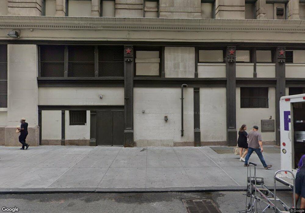
441-459 7th Ave New York, NY 10001
Garment District Neighborhood
--
Bed
--
Bath
2,192,088
Sq Ft
3.09
Acres
About This Home
This home is located at 441-459 7th Ave, New York, NY 10001. 441-459 7th Ave is a home located in New York County with nearby schools including P.S. 51 Elias Howe, Clinton School, and Middle School 297.
Ownership History
Date
Name
Owned For
Owner Type
Purchase Details
Closed on
Nov 1, 2017
Sold by
Level 3 Communications Llc
Bought by
Century Link Inc
Purchase Details
Closed on
Jun 18, 2008
Sold by
Perry Carlos and Prevost Lorelei
Bought by
Pendleton Devon
Purchase Details
Closed on
May 25, 2007
Sold by
Demis Saleh
Bought by
Demis Zaid
Purchase Details
Closed on
Jun 26, 1999
Sold by
Macys Primary Real Estate Inc
Bought by
Macys East Inc
Create a Home Valuation Report for This Property
The Home Valuation Report is an in-depth analysis detailing your home's value as well as a comparison with similar homes in the area
Home Values in the Area
Average Home Value in this Area
Purchase History
| Date | Buyer | Sale Price | Title Company |
|---|---|---|---|
| Century Link Inc | $28,050,000 | -- | |
| Pendleton Devon | $775,000 | -- | |
| Pendleton Devon | $775,000 | -- | |
| Demis Zaid | -- | -- | |
| Demis Zaid | -- | -- | |
| Macys East Inc | -- | Commonwealth Land Title Ins | |
| Macys East Inc | -- | Commonwealth Land Title Ins |
Source: Public Records
Mortgage History
| Date | Status | Borrower | Loan Amount |
|---|---|---|---|
| Closed | Pendleton Devon | $0 |
Source: Public Records
Tax History Compared to Growth
Tax History
| Year | Tax Paid | Tax Assessment Tax Assessment Total Assessment is a certain percentage of the fair market value that is determined by local assessors to be the total taxable value of land and additions on the property. | Land | Improvement |
|---|---|---|---|---|
| 2025 | $14,965,537 | $144,653,130 | $56,699,550 | $87,953,580 |
| 2024 | $14,965,537 | $141,290,950 | $56,699,550 | $84,591,400 |
| 2023 | $15,204,763 | $145,032,077 | $56,699,550 | $88,332,527 |
| 2022 | $15,439,432 | $143,555,850 | $56,699,550 | $86,856,300 |
| 2021 | $15,318,610 | $143,244,900 | $56,699,550 | $86,545,350 |
| 2020 | $15,097,603 | $143,281,800 | $56,699,550 | $86,582,250 |
| 2019 | $14,772,170 | $140,500,000 | $56,699,550 | $83,800,450 |
| 2018 | $16,205,702 | $149,303,700 | $56,699,550 | $92,604,150 |
| 2017 | $15,292,613 | $145,450,000 | $56,699,550 | $88,750,450 |
| 2016 | $16,133,004 | $155,726,100 | $56,699,550 | $99,026,550 |
| 2015 | $5,990,200 | $138,500,000 | $56,699,550 | $81,800,450 |
| 2014 | $5,990,200 | $126,256,950 | $56,699,550 | $69,557,400 |
Source: Public Records
Map
Nearby Homes
- 70 W 36th St Unit 5C
- 100 W 39th St Unit 43J
- 100 W 39th St Unit 38E
- 241 W 36th St Unit 7R
- 372 5th Ave Unit 7-L
- 372 5th Ave Unit 5L
- 372 5th Ave Unit 5N
- 372 5th Ave Unit 9J
- 372 5th Ave Unit 6C
- 372 5th Ave Unit 8L
- 400 Fifth Ave Unit 42G
- 400 5th Ave Unit 51A
- 400 5th Ave Unit 37-C
- 400 5th Ave Unit 33-B
- 400 5th Ave Unit 43F
- 400 5th Ave Unit 34A
- 130 W 30th St Unit 4C
- 130 W 30th St Unit 16A
- 130 W 30th St Unit 3B
- 130 W 30th St Unit 18FL
- 131 W 35th St Unit FL 7
- 131-137 W 35th St
- 155 W 35th St
- 147 W 35th St Unit 3
- 147-151 W 35th St
- 136 W 34th St
- 134 W 34th St
- 138 W 34th St
- 130-132 W 34th St
- 140 W 34th St
- 142 W 34th St
- 128 W 34th St
- 132-138 W 36th St
- 126 W 34th St
- 124 W 34th St
- 1333-1349 Broadway
- 152-154 W 34th St
- 140 W 36th St
- 128-130 W 36th St
- 142-148 W 36th St