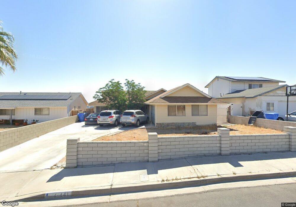
441 Fenoak Dr Barstow, CA 92311
Estimated Value: $319,400 - $381,000
3
Beds
2
Baths
2,131
Sq Ft
$170/Sq Ft
Est. Value
About This Home
This home is located at 441 Fenoak Dr, Barstow, CA 92311 and is currently estimated at $362,350, approximately $170 per square foot. 441 Fenoak Dr is a home located in San Bernardino County with nearby schools including Crestline Elementary School, Barstow Junior High School, and Barstow High School.
Ownership History
Date
Name
Owned For
Owner Type
Purchase Details
Closed on
Jul 23, 1997
Sold by
Talbott Gary D and Talbott Dorothy L
Bought by
Graves Seabrook and Graves Melvina P
Current Estimated Value
Home Financials for this Owner
Home Financials are based on the most recent Mortgage that was taken out on this home.
Original Mortgage
$96,900
Interest Rate
7.44%
Mortgage Type
VA
Create a Home Valuation Report for This Property
The Home Valuation Report is an in-depth analysis detailing your home's value as well as a comparison with similar homes in the area
Home Values in the Area
Average Home Value in this Area
Purchase History
| Date | Buyer | Sale Price | Title Company |
|---|---|---|---|
| Graves Seabrook | $95,000 | Fidelity National Title Ins |
Source: Public Records
Mortgage History
| Date | Status | Borrower | Loan Amount |
|---|---|---|---|
| Previous Owner | Graves Seabrook | $96,900 |
Source: Public Records
Tax History
| Year | Tax Paid | Tax Assessment Tax Assessment Total Assessment is a certain percentage of the fair market value that is determined by local assessors to be the total taxable value of land and additions on the property. | Land | Improvement |
|---|---|---|---|---|
| 2025 | $3,228 | $151,692 | $23,954 | $127,738 |
| 2024 | $1,693 | $148,717 | $23,484 | $125,233 |
| 2023 | $1,657 | $145,801 | $23,024 | $122,777 |
| 2022 | $1,650 | $142,943 | $22,573 | $120,370 |
| 2021 | $2,516 | $140,140 | $22,130 | $118,010 |
| 2020 | $2,818 | $138,703 | $21,903 | $116,800 |
| 2019 | $2,548 | $135,984 | $21,474 | $114,510 |
| 2018 | $2,709 | $133,318 | $21,053 | $112,265 |
| 2017 | $2,523 | $130,704 | $20,640 | $110,064 |
| 2016 | $2,657 | $128,141 | $20,235 | $107,906 |
| 2015 | $2,744 | $126,216 | $19,931 | $106,285 |
| 2014 | $2,336 | $123,744 | $19,541 | $104,203 |
Source: Public Records
Map
Nearby Homes
- 312 Grove Ave
- 1 Armory Rd
- 42424148 Armory Rd
- 841 Armory Rd
- 761 Upton Dr
- 1000 Windy Pass Unit Space 97
- 1000 Windy Pass Unit 81
- 1000 Windy Pass Unit 61
- 1000 Windy Pass Unit Spc 146
- 1000 Windy Pass Unit 130
- 1000 Windy Pass Unit 104
- 917 Ann St
- 1050 Arroyo Dr
- 1260 Mirage Dr
- 936 Pinon Dr
- 36631 Western Whip Ct
- 36630 Western Whip Ct
- 1412 Sunset St
- 840 E Virginia Way
- 411 Mcbroom Ave
Your Personal Tour Guide
Ask me questions while you tour the home.