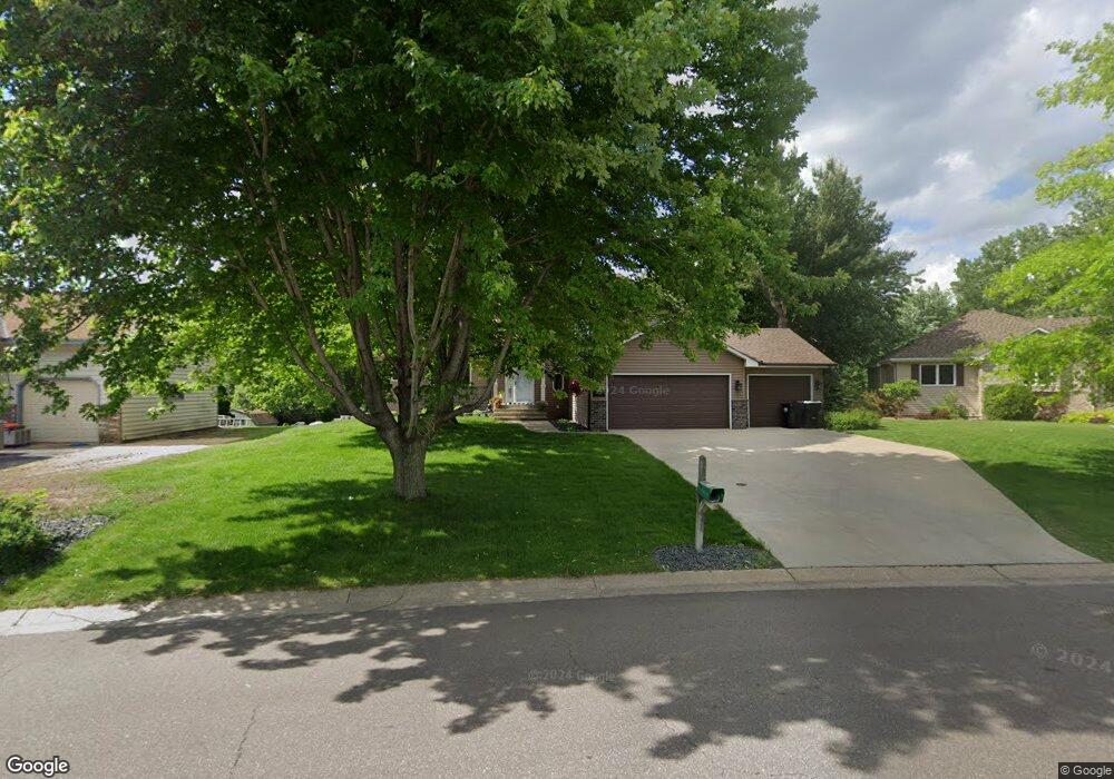
441 Hawthorn Rd Circle Pines, MN 55014
Estimated Value: $479,781 - $507,000
4
Beds
3
Baths
2,048
Sq Ft
$240/Sq Ft
Est. Value
About This Home
This home is located at 441 Hawthorn Rd, Circle Pines, MN 55014 and is currently estimated at $490,945, approximately $239 per square foot. 441 Hawthorn Rd is a home located in Anoka County with nearby schools including Rice Lake Elementary School, Centennial Middle School, and Centennial High School.
Ownership History
Date
Name
Owned For
Owner Type
Purchase Details
Closed on
Aug 2, 2022
Sold by
Bramwell David and Bramwell Cindy
Bought by
Plahn Jack and Samson Sydney
Current Estimated Value
Home Financials for this Owner
Home Financials are based on the most recent Mortgage that was taken out on this home.
Original Mortgage
$344,000
Outstanding Balance
$329,574
Interest Rate
5.78%
Mortgage Type
New Conventional
Estimated Equity
$161,371
Create a Home Valuation Report for This Property
The Home Valuation Report is an in-depth analysis detailing your home's value as well as a comparison with similar homes in the area
Home Values in the Area
Average Home Value in this Area
Purchase History
| Date | Buyer | Sale Price | Title Company |
|---|---|---|---|
| Plahn Jack | $430,000 | -- |
Source: Public Records
Mortgage History
| Date | Status | Borrower | Loan Amount |
|---|---|---|---|
| Open | Plahn Jack | $344,000 |
Source: Public Records
Tax History Compared to Growth
Tax History
| Year | Tax Paid | Tax Assessment Tax Assessment Total Assessment is a certain percentage of the fair market value that is determined by local assessors to be the total taxable value of land and additions on the property. | Land | Improvement |
|---|---|---|---|---|
| 2025 | $5,045 | $430,800 | $123,000 | $307,800 |
| 2024 | $5,045 | $427,200 | $116,600 | $310,600 |
| 2023 | $4,672 | $428,500 | $116,600 | $311,900 |
| 2022 | $4,348 | $421,600 | $105,100 | $316,500 |
| 2021 | $4,301 | $341,000 | $80,000 | $261,000 |
| 2020 | $4,458 | $329,100 | $80,000 | $249,100 |
| 2019 | $4,404 | $328,100 | $79,800 | $248,300 |
| 2018 | $3,913 | $307,900 | $0 | $0 |
| 2017 | $3,853 | $299,500 | $0 | $0 |
| 2016 | $4,074 | $286,000 | $0 | $0 |
| 2015 | -- | $286,000 | $93,500 | $192,500 |
| 2014 | -- | $245,100 | $79,000 | $166,100 |
Source: Public Records
Map
Nearby Homes
- 376 Arrowhead Dr
- 6356 Hodgson Rd
- 6217 Hodgson Rd
- 6275 W Shadow Lake Dr
- 563 Doris Ave
- 548 Doris Ave
- 907 Fox Rd
- 5986 Pheasant Dr
- 510 Elaine Ave
- 6457 Fox Rd
- 5920 Hodgson Rd
- 5919 Carlson St
- 592X Hodgson Rd
- 105 South Dr Unit D
- 6478 Fox Rd
- 104 South Dr
- 5860 Hodgson Rd
- 100 South Dr Unit E
- 6484 Killdeer Dr
- 9 Oak Leaf Ln
- 437 Hawthorn Rd
- 449 Hawthorn Rd
- 457 Hawthorn Rd
- 442 Hawthorn Rd
- 456 Hawthorn Rd
- 463 Hawthorn Rd
- 6371 Red Hawk Trail
- 434 Arrowhead Dr
- 445 Lonesome Pine Trail
- 6365 Red Hawk Trail
- 469 Hawthorn Rd
- 417 Hawthorn Rd
- 426 Arrowhead Dr
- 451 Lonesome Pine Trail
- 442 Arrowhead Dr
- 420 Arrowhead Dr
- 450 Arrowhead Dr
- 6366 Ware Rd
- 475 Hawthorn Rd
- 457 Lonesome Pine Trail