441 Hawthorne Rd Shelbyville, TN 37160
Estimated Value: $303,939 - $465,000
--
Bed
2
Baths
1,644
Sq Ft
$233/Sq Ft
Est. Value
About This Home
This home is located at 441 Hawthorne Rd, Shelbyville, TN 37160 and is currently estimated at $382,985, approximately $232 per square foot. 441 Hawthorne Rd is a home located in Bedford County with nearby schools including Liberty Elementary School.
Ownership History
Date
Name
Owned For
Owner Type
Purchase Details
Closed on
Sep 8, 2021
Sold by
Pierce Ina Faye and Pierce Mark Edward
Bought by
Pierce Ina Faye
Current Estimated Value
Purchase Details
Closed on
Jun 16, 2021
Sold by
Pierce Ina Faye
Bought by
Pierce Ina Faye and Pierce Mark Edward
Purchase Details
Closed on
Feb 20, 2009
Sold by
Boyce Jerrell Dawayne
Bought by
Pierce Faye
Purchase Details
Closed on
Oct 25, 1952
Bought by
Pierce Billy Dale and Ina Faye
Create a Home Valuation Report for This Property
The Home Valuation Report is an in-depth analysis detailing your home's value as well as a comparison with similar homes in the area
Home Values in the Area
Average Home Value in this Area
Purchase History
| Date | Buyer | Sale Price | Title Company |
|---|---|---|---|
| Pierce Ina Faye | -- | None Available | |
| Pierce Ina Faye | -- | None Available | |
| Pierce Faye | $7,000 | -- | |
| Pierce Billy Dale | -- | -- |
Source: Public Records
Tax History Compared to Growth
Tax History
| Year | Tax Paid | Tax Assessment Tax Assessment Total Assessment is a certain percentage of the fair market value that is determined by local assessors to be the total taxable value of land and additions on the property. | Land | Improvement |
|---|---|---|---|---|
| 2025 | $1,133 | $48,725 | $0 | $0 |
| 2024 | $1,133 | $48,725 | $8,525 | $40,200 |
| 2023 | $1,133 | $48,725 | $8,525 | $40,200 |
| 2022 | $1,133 | $48,725 | $8,525 | $40,200 |
| 2021 | $958 | $48,725 | $8,525 | $40,200 |
| 2020 | $849 | $48,725 | $8,525 | $40,200 |
| 2019 | $849 | $31,900 | $5,350 | $26,550 |
| 2018 | $817 | $31,900 | $5,350 | $26,550 |
| 2017 | $817 | $31,900 | $5,350 | $26,550 |
| 2016 | $804 | $31,900 | $5,350 | $26,550 |
| 2015 | $804 | $31,900 | $5,350 | $26,550 |
| 2014 | $706 | $31,113 | $0 | $0 |
Source: Public Records
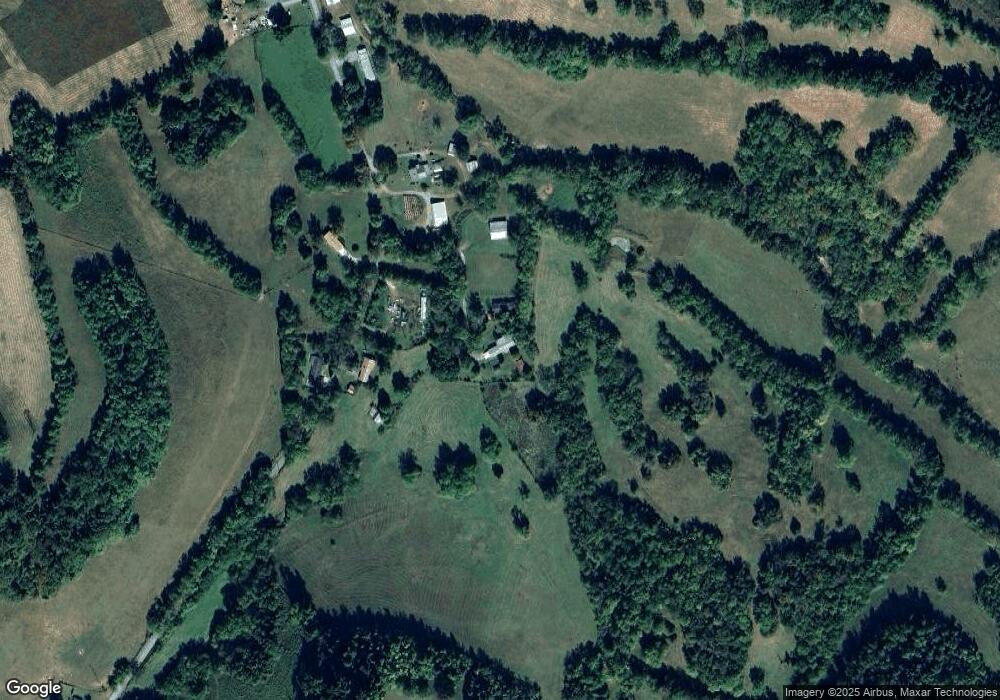
Map
Nearby Homes
- 1157 Mount Herman Rd
- 1399 Goose Creek Rd
- 3544 U S 231
- 1624 Bartlett Hollow Rd
- 1425 Bartlett Hollow Rd
- 0 Poor Grab Rd
- 506 New Center Church Rd
- 900 New Herman Rd
- 2131 Highway 130 W
- 0 New Center Church Rd
- 856 Petersburg Chestnt Rdg Rd
- 1617 Highway 130 W
- 911 Petersburg Chestnt Rdg Rd
- 1881 New Herman Rd
- 2098 Charity Rd
- 291 Joe Hart Rd
- 0 Adams Hollow Rd
- 0 Spankem Rd Unit RTC2818747
- 248 Old Flat Creek Rd
- 0 Highway 130 W
- 441 Hawthorne Rd
- 449 Hawthorne Hill Rd
- 459 Hawthorne Rd
- 460 Hawthorne Rd
- 440 Hawthorne Rd
- 414 Hawthorne Rd
- 425 Hawthorne Rd
- 425 Hawthorne Rd
- 1350 Mount Herman Rd
- 400 Hawthorne Rd
- 2 Hawthorne Hill Rd
- 510 Hawthorne Rd
- 0 Hawthorne Hill Rd
- 189 Hawthorne Hill Rd
- 1378 Mount Herman Rd
- 1 Mount Herman Lot 1 2 and 3
- 1385 Mount Herman Rd
- 1265 Mount Herman Rd
- 1155 Mount Herman Rd
- 1395 Mount Herman Rd