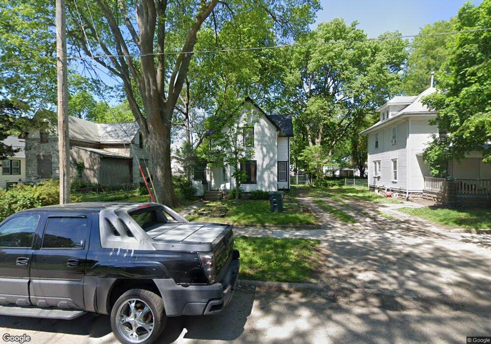
441 Lane St Waterloo, IA 50703
Northeast Side NeighborhoodEstimated Value: $59,000 - $84,000
About This Home
This home is located at 441 Lane St, Waterloo, IA 50703 and is currently estimated at $68,320, approximately $55 per square foot. 441 Lane St is a home located in Black Hawk County with nearby schools including Cunningham School, George Washington Carver Academy, and East High School.
Ownership History
We collect this data history from publicly available records. To have your information removed, we recommend requesting removal directly through your county’s website.
Purchase Details
Purchase Details
Home Values in the Area
Average Home Value in this Area
Purchase History
We collect this data history from publicly available records. To have your information removed, we recommend requesting removal directly through your county’s website.
| Date | Buyer | Sale Price | Title Company |
|---|---|---|---|
| $788,000 | None Listed On Document | ||
| $68,000 | Black Hawk County Abstract & |
Tax History
We collect this data history from publicly available records. To have your information removed, we recommend requesting removal directly through your county’s website.
| Year | Tax Paid | Tax Assessment Tax Assessment Total Assessment is a certain percentage of the fair market value that is determined by local assessors to be the total taxable value of land and additions on the property. | Land | Improvement |
|---|---|---|---|---|
| 2025 | $702 | $44,750 | $5,750 | $39,000 |
| 2024 | $702 | $32,400 | $5,750 | $26,650 |
| 2023 | $710 | $32,400 | $5,750 | $26,650 |
| 2022 | $692 | $32,360 | $5,750 | $26,610 |
| 2021 | $688 | $32,360 | $5,750 | $26,610 |
| 2020 | $676 | $30,360 | $3,750 | $26,610 |
| 2019 | $676 | $30,360 | $3,750 | $26,610 |
| 2018 | $676 | $30,360 | $3,750 | $26,610 |
| 2017 | $698 | $30,360 | $3,750 | $26,610 |
| 2016 | $688 | $30,360 | $3,750 | $26,610 |
| 2015 | $688 | $30,360 | $3,750 | $26,610 |
| 2014 | $702 | $30,360 | $3,750 | $26,610 |
Map
- 0 Irving St
- 510 Courtland St
- 911 Lafayette St Unit 913
- 0 Bates St
- 315 Walnut St
- 319 Iowa St
- 1043 Independence Ave
- 337 Almond St
- 427 Iowa St
- 600 Cottage St
- 211 Madison St
- 523 Archer Ave
- 0 Madison St Unit Parcel 891230129029
- 0 Madison St Unit Parcel 891230129030
- 0 Madison St Unit Parcel 891230129028
- 0 Monroe St Unit Parcel 891230129032
- 0 Monroe St Unit Parcel 891230129033
- 1912 Sycamore St
- Lot 11 & 12 Webster St
- Lot 6 Webster St
Ask me questions while you tour the home.