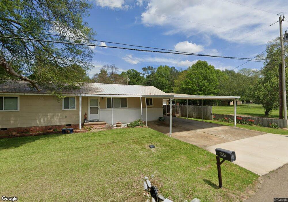
441 Lowe Cir Richland, MS 39218
Estimated Value: $170,000 - $214,000
3
Beds
1
Bath
1,301
Sq Ft
$144/Sq Ft
Est. Value
About This Home
This home is located at 441 Lowe Cir, Richland, MS 39218 and is currently estimated at $187,604, approximately $144 per square foot. 441 Lowe Cir is a home located in Rankin County with nearby schools including Richland Elementary School, Richland Upper Elementary School, and Richland High School.
Ownership History
Date
Name
Owned For
Owner Type
Purchase Details
Closed on
Jun 8, 2017
Sold by
Giles Michael L and Giles Clayton M
Bought by
Sheppard Melissa and Sheppard Jodie
Current Estimated Value
Home Financials for this Owner
Home Financials are based on the most recent Mortgage that was taken out on this home.
Original Mortgage
$112,121
Outstanding Balance
$92,213
Interest Rate
4.05%
Mortgage Type
New Conventional
Estimated Equity
$95,391
Purchase Details
Closed on
Aug 8, 2013
Sold by
Branch
Bought by
Giles
Create a Home Valuation Report for This Property
The Home Valuation Report is an in-depth analysis detailing your home's value as well as a comparison with similar homes in the area
Home Values in the Area
Average Home Value in this Area
Purchase History
| Date | Buyer | Sale Price | Title Company |
|---|---|---|---|
| Sheppard Melissa | -- | None Available | |
| Giles | -- | -- |
Source: Public Records
Mortgage History
| Date | Status | Borrower | Loan Amount |
|---|---|---|---|
| Open | Sheppard Melissa | $112,121 |
Source: Public Records
Tax History
| Year | Tax Paid | Tax Assessment Tax Assessment Total Assessment is a certain percentage of the fair market value that is determined by local assessors to be the total taxable value of land and additions on the property. | Land | Improvement |
|---|---|---|---|---|
| 2025 | $581 | $7,444 | $0 | $0 |
| 2024 | $567 | $7,444 | $0 | $0 |
| 2023 | $356 | $4,703 | $0 | $0 |
| 2022 | $349 | $4,703 | $0 | $0 |
| 2021 | $349 | $4,703 | $0 | $0 |
| 2020 | $349 | $4,703 | $0 | $0 |
| 2019 | $322 | $4,207 | $0 | $0 |
| 2018 | $313 | $4,207 | $0 | $0 |
| 2017 | $400 | $4,207 | $0 | $0 |
| 2016 | $394 | $4,370 | $0 | $0 |
| 2015 | $394 | $4,370 | $0 | $0 |
| 2014 | $385 | $4,370 | $0 | $0 |
| 2013 | -- | $6,555 | $0 | $0 |
Source: Public Records
Map
Nearby Homes
- 130 Hemlock Dr
- 371 Southwind Dr
- 0 Roland Dr
- 444 Sundance Cir
- 822 Highway 49 S
- 842 Highway 49 S
- 137 Short St
- 202 Donna Cir
- 537 Parkview Cove
- 416 Donna Cir
- 0 Bud St
- 1018 Old Highway 49 S
- 320 Scarbrough Cir
- 191 Ted Cir
- 0 Ebenezer Rd
- 224 W Petros Rd
- 1037 Cabbott Ln
- 215 Prewitt Cir
- 408 Cleary Rd
- 319 Bullock Cir
- 451 Lowe Cir
- 252 Sundance Cir
- 405 Lowe Cir
- 244 Sundance Cir
- 256 Sundance Cir
- 461 Lowe Cir
- 232 Sundance Cove
- 240 Sundance Cir
- 465 Lowe Cir
- 260 Sundance Cir
- 223 Sundance Cir
- 227 Sundance Cir
- 228 Sundance Cove
- 401 Lowe Cir
- 219 Sundance Cir
- 264 Sundance Cir
- 231 Sundance Cir
- 215 Sundance Cir
- 224 Sundance Cove
- 268 Sundance Cir
Your Personal Tour Guide
Ask me questions while you tour the home.