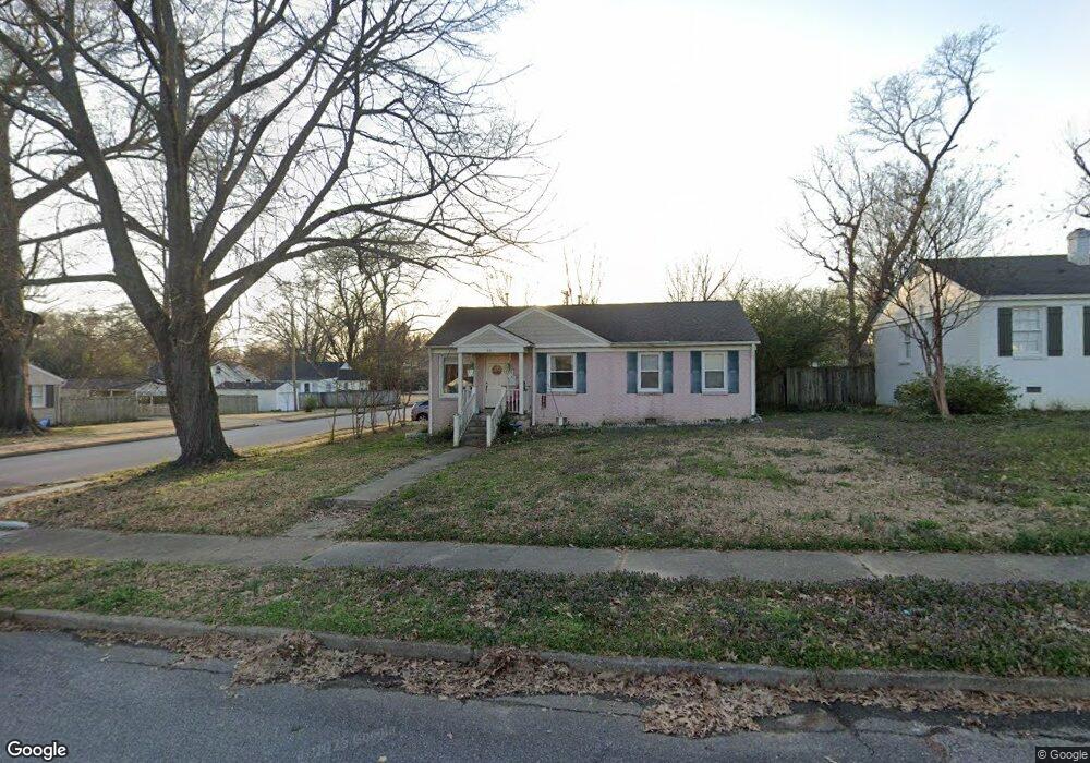
441 Lytle St Memphis, TN 38122
High Point Terrace NeighborhoodEstimated Value: $227,073 - $266,000
3
Beds
2
Baths
1,275
Sq Ft
$200/Sq Ft
Est. Value
About This Home
This home is located at 441 Lytle St, Memphis, TN 38122 and is currently estimated at $255,268, approximately $200 per square foot. 441 Lytle St is a home located in Shelby County with nearby schools including Grahamwood Elementary School, White Station High, and White Station Middle.
Ownership History
Date
Name
Owned For
Owner Type
Purchase Details
Closed on
Aug 27, 2014
Sold by
Betts Stephanie S Martindale
Bought by
Betts Louis R and Betts Stephanie S
Current Estimated Value
Home Financials for this Owner
Home Financials are based on the most recent Mortgage that was taken out on this home.
Original Mortgage
$123,750
Interest Rate
4.2%
Mortgage Type
New Conventional
Purchase Details
Closed on
Mar 10, 2005
Sold by
Bowsher Barbara J
Bought by
Bowsher Catherine L
Create a Home Valuation Report for This Property
The Home Valuation Report is an in-depth analysis detailing your home's value as well as a comparison with similar homes in the area
Home Values in the Area
Average Home Value in this Area
Purchase History
| Date | Buyer | Sale Price | Title Company |
|---|---|---|---|
| Betts Louis R | -- | Fntg | |
| Bowsher Catherine L | $85,000 | -- |
Source: Public Records
Mortgage History
| Date | Status | Borrower | Loan Amount |
|---|---|---|---|
| Closed | Betts Louis R | $123,750 |
Source: Public Records
Tax History
| Year | Tax Paid | Tax Assessment Tax Assessment Total Assessment is a certain percentage of the fair market value that is determined by local assessors to be the total taxable value of land and additions on the property. | Land | Improvement |
|---|---|---|---|---|
| 2025 | $1,746 | $54,900 | $12,075 | $42,825 |
| 2024 | $1,746 | $51,500 | $8,050 | $43,450 |
| 2023 | $3,137 | $51,500 | $8,050 | $43,450 |
| 2022 | $3,137 | $51,500 | $8,050 | $43,450 |
| 2021 | $3,174 | $51,500 | $8,050 | $43,450 |
| 2020 | $2,357 | $32,525 | $8,050 | $24,475 |
| 2019 | $2,357 | $32,525 | $8,050 | $24,475 |
| 2018 | $2,357 | $32,525 | $8,050 | $24,475 |
| 2017 | $1,337 | $32,525 | $8,050 | $24,475 |
| 2016 | $1,349 | $30,875 | $0 | $0 |
| 2014 | $1,349 | $30,875 | $0 | $0 |
Source: Public Records
Map
Nearby Homes
- 3787 S Swan Ridge Cir
- 3763 Kenwood Ave
- 3937 Meade Ave
- 3815 Montclair Dr
- 3704 Charleswood Ave
- 3754 Montclair Dr
- 599 Isabelle St
- 274 Eastland Dr
- 4054 Saint Ann Cir
- 4047 Allison Ave
- 236 Eastland Dr
- 267 N Rose Rd
- 3763 Cardinal Ave
- 4079 Philwood Ave
- 3741 Faxon Ave
- 465 Gerald Rd
- 501 Gerald Rd
- 3768 Faxon Ave
- 4001 Faxon Ave
- 458 Gerald Rd
- 447 Lytle St
- 453 Lytle St
- 427 Lytle St
- 440 E Swan Ridge Cir
- 448 E Swan Ridge Cir
- 442 Lytle St
- 459 Lytle St
- 454 E Swan Ridge Cir
- 421 Lytle St
- 426 Lytle St
- 454 Lytle St
- 460 E Swan Ridge Cir
- 3874 Allison Ave
- 465 Lytle St
- 415 Lytle St
- 460 Lytle St
- 3869 Allison Ave
- 420 Lytle St
- 466 Swan Ridge Cir E
- 422 E Swan Ridge Cir
Your Personal Tour Guide
Ask me questions while you tour the home.