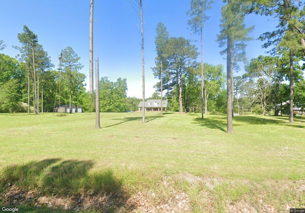
441 Myrick Strengthford Rd Laurel, MS 39443
Estimated Value: $359,000 - $510,878
4
Beds
3
Baths
4,600
Sq Ft
$95/Sq Ft
Est. Value
About This Home
This home is located at 441 Myrick Strengthford Rd, Laurel, MS 39443 and is currently estimated at $436,220, approximately $94 per square foot. 441 Myrick Strengthford Rd is a home located in Jones County.
Ownership History
Date
Name
Owned For
Owner Type
Purchase Details
Closed on
Oct 26, 2020
Sold by
Windham Sherrie Lynn
Bought by
Walley Kenneth and Walley Genny
Current Estimated Value
Purchase Details
Closed on
Jul 7, 2020
Sold by
R & D Development Llc
Bought by
Walley Kenneth D and Walley Genny R
Home Financials for this Owner
Home Financials are based on the most recent Mortgage that was taken out on this home.
Original Mortgage
$369,737
Interest Rate
3.2%
Mortgage Type
New Conventional
Purchase Details
Closed on
Dec 17, 2010
Sold by
Spence James C and Spence Sherrie Lynn Windham
Bought by
Spence James C and Spence Sherrie Lynn Windham
Create a Home Valuation Report for This Property
The Home Valuation Report is an in-depth analysis detailing your home's value as well as a comparison with similar homes in the area
Home Values in the Area
Average Home Value in this Area
Purchase History
| Date | Buyer | Sale Price | Title Company |
|---|---|---|---|
| Walley Kenneth | -- | -- | |
| Walley Kenneth Nathan | -- | -- | |
| Walley Kenneth D | -- | -- | |
| Spence James C | -- | -- |
Source: Public Records
Mortgage History
| Date | Status | Borrower | Loan Amount |
|---|---|---|---|
| Previous Owner | Walley Kenneth D | $369,737 |
Source: Public Records
Tax History Compared to Growth
Tax History
| Year | Tax Paid | Tax Assessment Tax Assessment Total Assessment is a certain percentage of the fair market value that is determined by local assessors to be the total taxable value of land and additions on the property. | Land | Improvement |
|---|---|---|---|---|
| 2024 | $3,841 | $32,716 | $0 | $0 |
| 2023 | $3,841 | $29,471 | $0 | $0 |
| 2022 | $3,514 | $29,475 | $0 | $0 |
| 2021 | $3,531 | $29,480 | $0 | $0 |
| 2020 | $5,925 | $44,803 | $0 | $0 |
| 2019 | $0 | $29,919 | $0 | $0 |
| 2018 | $0 | $29,919 | $0 | $0 |
| 2017 | $0 | $29,915 | $0 | $0 |
| 2016 | -- | $28,308 | $0 | $0 |
| 2015 | -- | $28,295 | $0 | $0 |
| 2014 | -- | $28,284 | $0 | $0 |
Source: Public Records
Map
Nearby Homes
- 43.16 Crooked Rd
- 00 N Forrest Road 205
- 13 Willie Holifield Rd
- 0 Walt Culpepper Rd
- 15 Sellers Cooley Dr
- 302 Freedom Rd
- 33+/- Acre Poole Creek Ball Field Rd
- 72 Poole Creek Rd
- 101 Pearl Hodge Rd
- 33 +/- Acre Pool Creek Ball Field Rd
- 12 Timber Ridge
- 18 Shadow Ridge Dr
- 19 Shadow Ridge Dr
- 22 Shadow Ridge Dr
- 16 Shadow Ridge Dr
- 93 Freedom Rd
- 17 Shadow Ridge Dr
- 30 Shadow Ridge Dr
- 10 Shadow Ridge Dr
- 1069 Route 205 Forest Service
- 439 Myrick Strengthford Rd
- 419 Myrick Strengthford Rd
- 397 Myrick Strengthford Rd
- 418 Myrick Strengthford Rd
- 63 Varner Rd
- 451 Myrick Strengthford Rd
- 467 Myrick Strengthford Rd
- 325 Myrick Strengthford Rd
- 118 Varner Rd
- 548 Myrick Strengthford Rd
- 283 Myrick Strengthford Rd
- 537 Myrick Strengthford Rd
- 24 Silas Walters Rd
- 159 Pearman Rd
- 83 Robert Walters Rd
- 83 Robert Walters Rd
- 34 Silas Walters Rd
- 580 Myrick Strengthford Rd
- 163 Pearman Rd
- 79 Robert Walters Rd