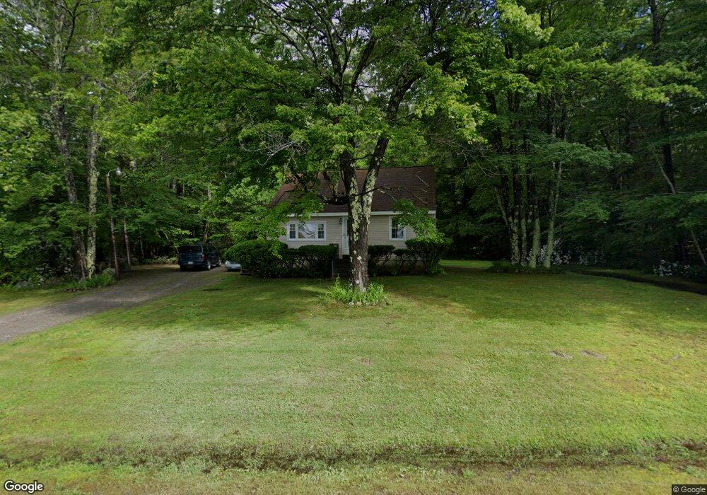
441 New Boston Rd Bedford, NH 03110
Bedford NeighborhoodEstimated Value: $584,641 - $1,158,000
3
Beds
1
Bath
1,091
Sq Ft
$685/Sq Ft
Est. Value
About This Home
This home is located at 441 New Boston Rd, Bedford, NH 03110 and is currently estimated at $747,410, approximately $685 per square foot. 441 New Boston Rd is a home located in Hillsborough County with nearby schools including Mckelvie Intermediate School, Ross A. Lurgio Middle School, and Bedford High School.
Ownership History
Date
Name
Owned For
Owner Type
Purchase Details
Closed on
May 27, 1992
Bought by
Merrill Walter P and Merrill Wendy L
Current Estimated Value
Create a Home Valuation Report for This Property
The Home Valuation Report is an in-depth analysis detailing your home's value as well as a comparison with similar homes in the area
Home Values in the Area
Average Home Value in this Area
Purchase History
| Date | Buyer | Sale Price | Title Company |
|---|---|---|---|
| Merrill Walter P | $83,900 | -- |
Source: Public Records
Mortgage History
| Date | Status | Borrower | Loan Amount |
|---|---|---|---|
| Open | Merrill Walter P | $163,500 | |
| Closed | Merrill Walter P | $30,000 | |
| Closed | Merrill Walter P | $89,406 |
Source: Public Records
Tax History Compared to Growth
Tax History
| Year | Tax Paid | Tax Assessment Tax Assessment Total Assessment is a certain percentage of the fair market value that is determined by local assessors to be the total taxable value of land and additions on the property. | Land | Improvement |
|---|---|---|---|---|
| 2024 | $7,032 | $444,800 | $260,100 | $184,700 |
| 2023 | $6,583 | $444,800 | $260,100 | $184,700 |
| 2022 | $6,084 | $345,700 | $192,700 | $153,000 |
| 2021 | $5,925 | $345,700 | $192,700 | $153,000 |
| 2020 | $6,237 | $278,400 | $141,100 | $137,300 |
| 2019 | $13,329 | $278,400 | $141,100 | $137,300 |
| 2018 | $51 | $256,800 | $141,100 | $115,700 |
| 2017 | $5,511 | $256,800 | $141,100 | $115,700 |
| 2016 | $5,232 | $233,900 | $112,600 | $121,300 |
| 2015 | $5,324 | $233,900 | $112,600 | $121,300 |
| 2014 | $5,263 | $233,900 | $112,600 | $121,300 |
| 2013 | $5,186 | $233,900 | $112,600 | $121,300 |
Source: Public Records
Map
Nearby Homes
- 3 Baldwin Ln
- 28 Olde Lantern Rd
- 39 Mcintosh Ln
- 9 Cherry Ln
- 99 Cambridge Rd
- 18 Sprague Mill Rd
- 250 Joppa Hill Rd
- 12 Mcintosh Ln
- 27 Birkdale Rd Unit LOTS 170/171
- 53 Essex Rd
- 74 Settlers Ct
- 393 Chestnut Hill Rd
- 32-1 Chestnut Hill Rd
- 32-4 Chestnut Hill Rd
- 15-32-1-4 Chestnut Hill Rd
- 68 Perry Rd
- 100 Chestnut Hill Rd
- 32 Wellesley Dr
- 301 N Amherst Rd
- 4 Westview Rd Unit Lot 4 - Hannah Floor
- 433 New Boston Rd
- 396 Joppa Hill Rd
- 4 Ellison Dr
- 406 Joppa Hill Rd
- 467 New Boston Rd
- 410 Joppa Hill Rd
- 10 Ellison Dr
- 61 Normand Cir
- 414 Joppa Hill Rd
- 390 Joppa Hill Rd
- 399 Joppa Hill Rd
- 59 Normand Cir
- 395 Joppa Hill Rd
- 423 New Boston Rd
- 30 Millstone Terrace
- 30 Mill Stone Terrace
- 34 Millstone Terrace
- 3 Ellison Dr
- 55 Normand Cir
- 393 Joppa Hill Rd