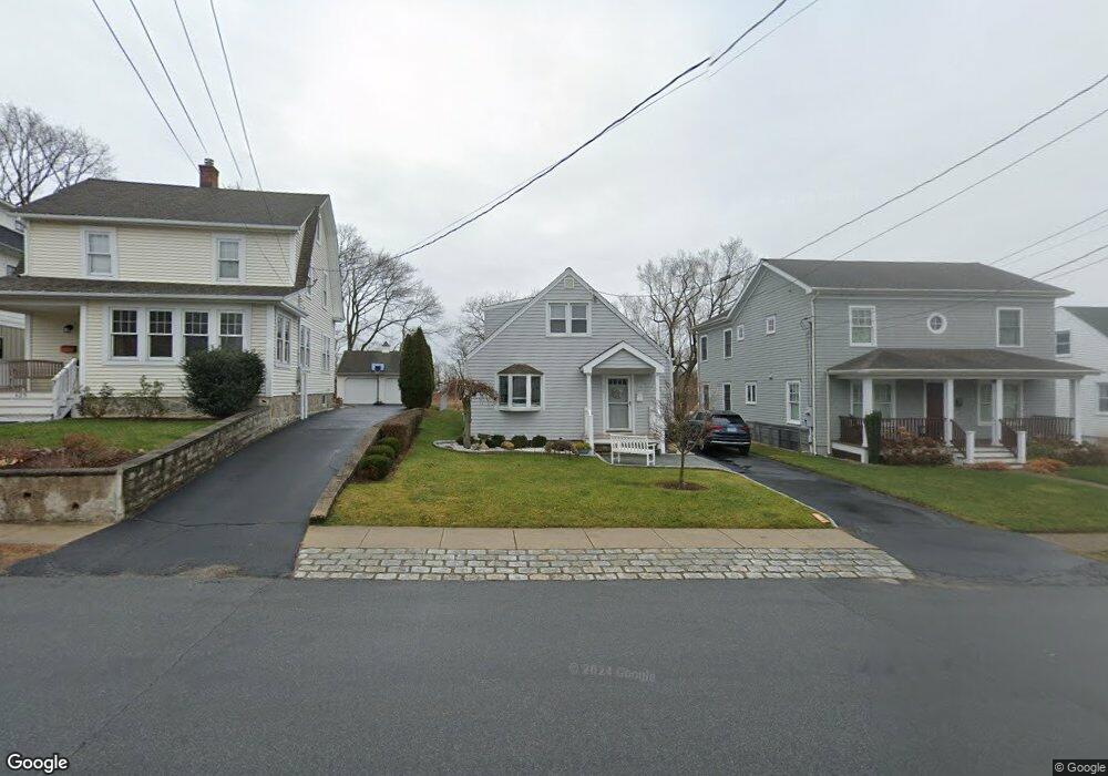
441 Riverside Dr Fairfield, CT 06824
Fairfield Beach NeighborhoodEstimated Value: $301,000 - $1,132,000
3
Beds
3
Baths
1,515
Sq Ft
$576/Sq Ft
Est. Value
About This Home
This home is located at 441 Riverside Dr, Fairfield, CT 06824 and is currently estimated at $872,826, approximately $576 per square foot. 441 Riverside Dr is a home located in Fairfield County with nearby schools including Roger Sherman Elementary School, Roger Ludlowe Middle School, and Fairfield Ludlowe High School.
Ownership History
Date
Name
Owned For
Owner Type
Purchase Details
Closed on
Jan 11, 1999
Sold by
Voroba Florence
Bought by
Voroba Noel
Current Estimated Value
Home Financials for this Owner
Home Financials are based on the most recent Mortgage that was taken out on this home.
Original Mortgage
$80,000
Outstanding Balance
$18,619
Interest Rate
6.8%
Estimated Equity
$854,207
Create a Home Valuation Report for This Property
The Home Valuation Report is an in-depth analysis detailing your home's value as well as a comparison with similar homes in the area
Home Values in the Area
Average Home Value in this Area
Purchase History
| Date | Buyer | Sale Price | Title Company |
|---|---|---|---|
| Voroba Noel | $100,000 | -- | |
| Voroba Noel | $100,000 | -- |
Source: Public Records
Mortgage History
| Date | Status | Borrower | Loan Amount |
|---|---|---|---|
| Open | Voroba Noel | $80,000 | |
| Closed | Voroba Noel | $80,000 |
Source: Public Records
Tax History
| Year | Tax Paid | Tax Assessment Tax Assessment Total Assessment is a certain percentage of the fair market value that is determined by local assessors to be the total taxable value of land and additions on the property. | Land | Improvement |
|---|---|---|---|---|
| 2025 | $10,135 | $357,000 | $274,330 | $82,670 |
| 2024 | $9,960 | $357,000 | $274,330 | $82,670 |
| 2023 | $9,811 | $356,650 | $274,330 | $82,320 |
| 2022 | $9,715 | $356,650 | $274,330 | $82,320 |
| 2021 | $9,622 | $356,650 | $274,330 | $82,320 |
| 2020 | $9,129 | $340,760 | $243,180 | $97,580 |
| 2019 | $9,129 | $340,760 | $243,180 | $97,580 |
| 2018 | $8,982 | $340,760 | $243,180 | $97,580 |
| 2017 | $8,798 | $340,760 | $243,180 | $97,580 |
| 2016 | $8,672 | $340,760 | $243,180 | $97,580 |
| 2015 | $8,371 | $337,680 | $265,300 | $72,380 |
| 2014 | $8,239 | $337,680 | $265,300 | $72,380 |
Source: Public Records
Map
Nearby Homes
- 98 Cambridge St
- 855 Riverside Dr
- 598 S Benson Rd
- 315 Seaside Ave
- 90 Clarkson St
- 377 Midland St
- 132 Gilman St
- 3250 Fairfield Ave Unit 302
- 77 Meadowbrook Rd
- 97 Fayerweather Terrace
- 8 Jetland Place Unit 10
- 164 Wakeman Rd
- 165 Bennett St
- 318 Grovers Ave
- 70 Meadow Ridge Rd
- 15 Barton Rd
- 20 Ermine St
- 554 Brewster St Unit 4
- 378 Penfield Rd
- 394 Penfield Rd
- 451 Riverside Dr
- 429 Riverside Dr
- 461 Riverside Dr
- 423 Riverside Dr
- 417 Riverside Dr
- 424 Riverside Dr
- 450 Riverside Dr
- 458 Riverside Dr
- 402 Riverside Dr
- 501 Riverside Dr
- 399 Riverside Dr
- 464 Riverside Dr
- 511 Riverside Dr
- 500 Riverside Dr
- 521 Riverside Dr
- 478 Riverside Dr
- 510 Riverside Dr
- 389 Riverside Dr
- 45 Concord St
- 368 Riverside Dr
Your Personal Tour Guide
Ask me questions while you tour the home.