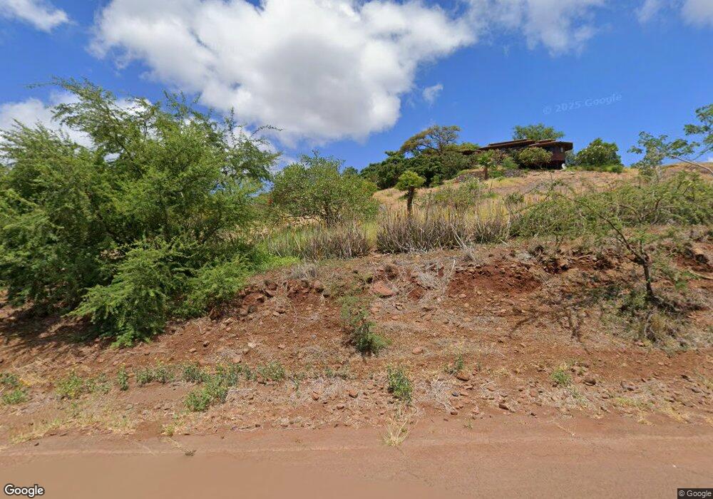
441 Uluanui Rd Unit Lot 127 Kaunakakai, HI 96748
Estimated Value: $995,000 - $1,108,000
2
Beds
3
Baths
2,764
Sq Ft
$373/Sq Ft
Est. Value
About This Home
This home is located at 441 Uluanui Rd Unit Lot 127, Kaunakakai, HI 96748 and is currently estimated at $1,030,507, approximately $372 per square foot. 441 Uluanui Rd Unit Lot 127 is a home located in Maui County with nearby schools including Kaunakakai Elementary School, Molokai Middle School, and Molokai High School.
Ownership History
Date
Name
Owned For
Owner Type
Purchase Details
Closed on
Jan 4, 2018
Sold by
Cassel John Frederick
Bought by
Yaghoobi Jafar and Mobed Ketty
Current Estimated Value
Purchase Details
Closed on
Sep 15, 2014
Sold by
Campbell Randall Robert and Campbell Mary Beth
Bought by
Cassel John Frederick
Home Financials for this Owner
Home Financials are based on the most recent Mortgage that was taken out on this home.
Original Mortgage
$120,000
Interest Rate
4.1%
Mortgage Type
New Conventional
Purchase Details
Closed on
Jul 30, 2007
Sold by
Davis John Francis and Johnston Linda Anne
Bought by
Campbell Randall Robert and Campbell Mary Beth
Home Financials for this Owner
Home Financials are based on the most recent Mortgage that was taken out on this home.
Original Mortgage
$550,000
Interest Rate
6.5%
Mortgage Type
Purchase Money Mortgage
Purchase Details
Closed on
Oct 28, 2002
Sold by
Makekau Stanley N B and Makekau Stanley
Bought by
Makekau Jeffery N
Create a Home Valuation Report for This Property
The Home Valuation Report is an in-depth analysis detailing your home's value as well as a comparison with similar homes in the area
Home Values in the Area
Average Home Value in this Area
Purchase History
| Date | Buyer | Sale Price | Title Company |
|---|---|---|---|
| Yaghoobi Jafar | $645,000 | Tg | |
| Cassel John Frederick | $705,000 | Fam | |
| Campbell Randall Robert | $850,000 | Tg | |
| Makekau Jeffery N | -- | -- |
Source: Public Records
Mortgage History
| Date | Status | Borrower | Loan Amount |
|---|---|---|---|
| Previous Owner | Cassel John Frederick | $120,000 | |
| Previous Owner | Campbell Randall Robert | $550,000 |
Source: Public Records
Tax History Compared to Growth
Tax History
| Year | Tax Paid | Tax Assessment Tax Assessment Total Assessment is a certain percentage of the fair market value that is determined by local assessors to be the total taxable value of land and additions on the property. | Land | Improvement |
|---|---|---|---|---|
| 2025 | $1,032 | $898,300 | $252,100 | $646,200 |
| 2024 | $1,032 | $873,100 | $252,100 | $621,000 |
| 2023 | $896 | $771,600 | $147,100 | $624,500 |
| 2022 | $989 | $694,600 | $126,100 | $568,500 |
| 2021 | $1,091 | $652,500 | $120,800 | $531,700 |
| 2020 | $1,182 | $670,900 | $126,100 | $544,800 |
| 2019 | $4,479 | $754,100 | $119,400 | $634,700 |
| 2018 | $4,533 | $755,500 | $129,200 | $626,300 |
| 2017 | $5,458 | $0 | $0 | $0 |
| 2016 | $5,028 | $888,400 | $138,700 | $749,700 |
| 2015 | -- | $891,100 | $213,200 | $677,900 |
Source: Public Records
Map
Nearby Homes
- 441 Uluanui Rd
- 0 Uluanui Rd Unit 147 405878
- 303 Makanui Rd Unit Lot 225
- 2452 Kamehameha V Hwy
- 115 Ulua Rd
- 170 Ulua Rd
- 122 Ulua Rd
- 188 Ulua Rd
- 0 Makaiki Rd Unit 256 407146
- 361 Onioni Dr Unit Lot 44
- 1715 Kamehameha V Hwy
- 1300 Kamehameha V Hwy Unit 202
- 87 Opua Place
- 1085 Nauwe St
- 215 Aahi Place
- 1000 Kam V Hwy Unit A-108
- 1000 Kamehameha V Hwy Unit A203
- 1000 Kamehameha V Hwy Unit 327B
- 1000 Kamehameha V Hwy Unit 211
- 1000 Kamehameha V Hwy
- 430 Uluanui Rd Unit Lot 139
- 442 Uluanui Rd
- 501 Uluanui Rd
- 492 Uluanui Rd Unit 492 Uluanui
- 492 Uluanui Rd
- 410 Uluanui Rd
- 464 Uluanui Rd
- 405 Uluanui Rd Unit Lot 124
- 527 Uluanui Rd Unit 130
- 496 Uluanui Rd
- 551 Uluanui Rd Unit 131
- 551 Uluanui Rd
- 373 Uluanui Rd Unit 373 Uluanui Road
- 550 Uluanui Rd
- 350 Uluanui Rd
- 350 Uluanui Rd Unit 143
- 243 Uluanui Rd
- 345 Uluanui Rd Unit Lot 122
- 270 Uluanui Rd