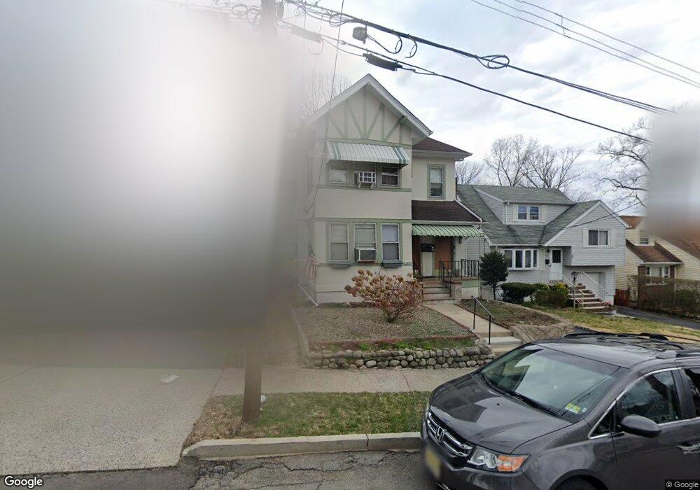
441 W Anderson St Unit 2ND Floor Hackensack, NJ 07601
Estimated Value: $607,000 - $807,000
2
Beds
1
Bath
2,064
Sq Ft
$349/Sq Ft
Est. Value
About This Home
This home is located at 441 W Anderson St Unit 2ND Floor, Hackensack, NJ 07601 and is currently estimated at $720,555, approximately $349 per square foot. 441 W Anderson St Unit 2ND Floor is a home located in Bergen County with nearby schools including Hackensack High School and Bergen County Christian Academy.
Ownership History
Date
Name
Owned For
Owner Type
Purchase Details
Closed on
Jul 16, 2018
Sold by
Safirowski George J Est
Bought by
Pourat David
Current Estimated Value
Home Financials for this Owner
Home Financials are based on the most recent Mortgage that was taken out on this home.
Original Mortgage
$110,000
Interest Rate
4.6%
Mortgage Type
New Conventional
Purchase Details
Closed on
Jul 23, 2012
Sold by
Puschel Cornelia and Schmidt Andy
Bought by
Puschel Cornelia and Schmidt Andy
Create a Home Valuation Report for This Property
The Home Valuation Report is an in-depth analysis detailing your home's value as well as a comparison with similar homes in the area
Home Values in the Area
Average Home Value in this Area
Purchase History
| Date | Buyer | Sale Price | Title Company |
|---|---|---|---|
| Pourat David | $410,000 | -- | |
| Puschel Cornelia | -- | -- |
Source: Public Records
Mortgage History
| Date | Status | Borrower | Loan Amount |
|---|---|---|---|
| Previous Owner | Pourat David | $110,000 |
Source: Public Records
Tax History
| Year | Tax Paid | Tax Assessment Tax Assessment Total Assessment is a certain percentage of the fair market value that is determined by local assessors to be the total taxable value of land and additions on the property. | Land | Improvement |
|---|---|---|---|---|
| 2025 | $13,862 | $453,600 | $191,300 | $262,300 |
| 2024 | $13,059 | $453,600 | $191,300 | $262,300 |
| 2023 | $11,906 | $453,600 | $191,300 | $262,300 |
| 2022 | $11,906 | $424,900 | $187,500 | $237,400 |
| 2021 | $11,820 | $352,000 | $169,500 | $182,500 |
| 2020 | $11,648 | $352,000 | $169,500 | $182,500 |
| 2019 | $12,770 | $380,400 | $166,500 | $213,900 |
| 2018 | $11,556 | $338,600 | $162,500 | $176,100 |
| 2017 | $11,379 | $333,200 | $160,000 | $173,200 |
| 2016 | $10,654 | $315,400 | $145,000 | $170,400 |
| 2015 | $10,710 | $306,000 | $131,400 | $174,600 |
| 2014 | $10,165 | $306,000 | $131,400 | $174,600 |
Source: Public Records
Map
Nearby Homes
- 467 Summit Ave
- 446 Passaic St Unit 2A
- 290 Clinton Place
- 137 Byrne St
- 483 Colonial Terrace Unit 9
- 258 Clinton Place
- 258 Ross Ave
- 303 Hamilton Place Unit A4
- 303 Hamilton Place Unit D4
- 303 Hamilton Place Unit BAS1
- 300 Lookout Ave Unit C4
- 297 Hamilton Place
- 290 Anderson St Unit 5D
- 290 Anderson St Unit 2A
- 431 Blanchard Terrace
- 296 Esplanade Unit 27
- 30 Clarendon Place
- 207 Elm Ave
- 316 Prospect Ave Unit 8D
- 316 Prospect Ave Unit 8H
- 441 W Anderson St
- 441 W Anderson St Unit 1
- 441 W Anderson St Unit 1ST FLOOR
- 437 W Anderson St
- 443 W Anderson St
- 447 W Anderson St
- 433 W Anderson St
- 451 W Anderson St
- 440 Hamilton Place
- 442 Hamilton Place
- 440 W Anderson St
- 438 W Anderson St
- 448 Hamilton Place
- 453 W Anderson St
- 438 Hamilton Place
- 446 W Anderson St
- 448 W Anderson St Unit 50
- 427 W Anderson St
- 436 W Anderson St
- 450 Hamilton Place
Your Personal Tour Guide
Ask me questions while you tour the home.