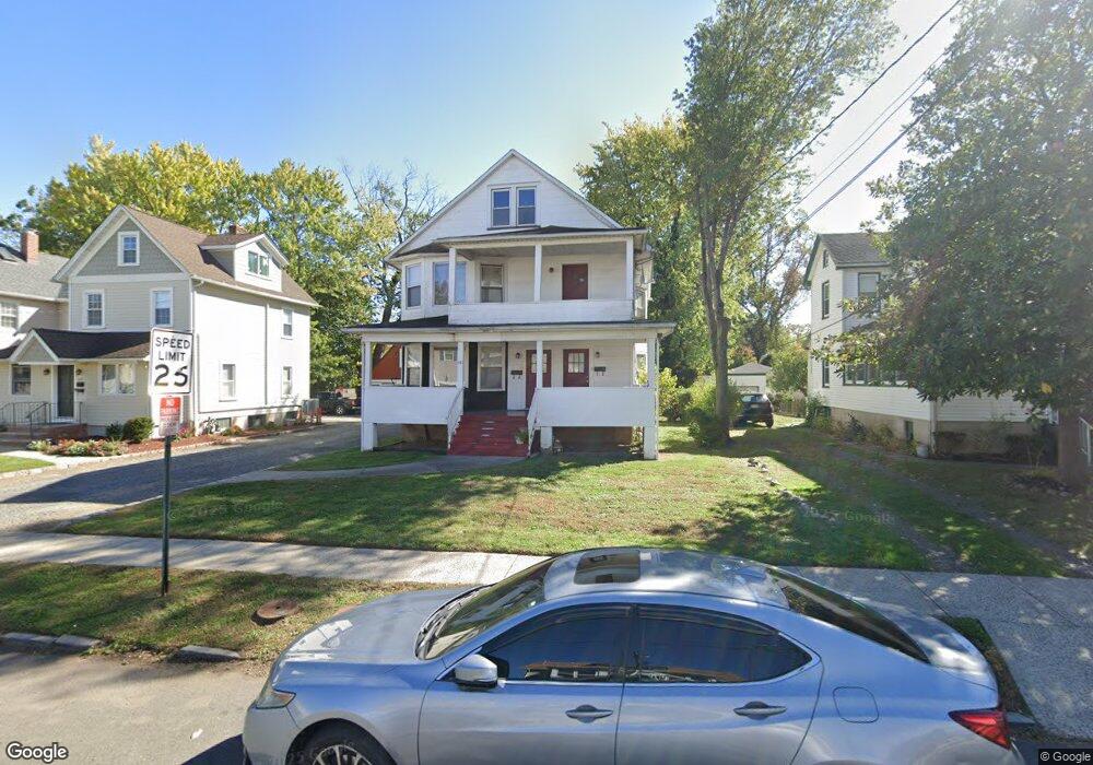
441 W Broad St Unit 1 Westfield, NJ 07090
Estimated Value: $620,000 - $928,106
3
Beds
1
Bath
2,304
Sq Ft
$355/Sq Ft
Est. Value
About This Home
This home is located at 441 W Broad St Unit 1, Westfield, NJ 07090 and is currently estimated at $816,777, approximately $354 per square foot. 441 W Broad St Unit 1 is a home located in Union County with nearby schools including McKinley Elementary School, Westfield Senior High School, and Holy Trinity School.
Ownership History
Date
Name
Owned For
Owner Type
Purchase Details
Closed on
Jan 31, 2024
Sold by
Villane Timothy
Bought by
Elshiekh Enterprises Llc
Current Estimated Value
Purchase Details
Closed on
Jan 21, 1999
Sold by
Federal Home Loan Mortgage Corporation
Bought by
Villane Timothy
Home Financials for this Owner
Home Financials are based on the most recent Mortgage that was taken out on this home.
Original Mortgage
$142,500
Interest Rate
6.7%
Purchase Details
Closed on
Aug 18, 1998
Sold by
Delossantos Glauco and Delossantos Soralla
Bought by
Federal Home Loan Mortgage Corporation
Purchase Details
Closed on
Jul 21, 1994
Sold by
Colligan Tracy
Bought by
Delossantos Glauco and Delossantos Soralla
Create a Home Valuation Report for This Property
The Home Valuation Report is an in-depth analysis detailing your home's value as well as a comparison with similar homes in the area
Home Values in the Area
Average Home Value in this Area
Purchase History
| Date | Buyer | Sale Price | Title Company |
|---|---|---|---|
| Elshiekh Enterprises Llc | $667,000 | Suburban Title | |
| Elshiekh Enterprises Llc | $667,000 | Suburban Title | |
| Villane Timothy | $190,000 | -- | |
| Federal Home Loan Mortgage Corporation | -- | -- | |
| Delossantos Glauco | $195,000 | -- | |
| Colligan Tracy | $160,000 | -- |
Source: Public Records
Mortgage History
| Date | Status | Borrower | Loan Amount |
|---|---|---|---|
| Previous Owner | Villane Timothy | $142,500 |
Source: Public Records
Tax History Compared to Growth
Tax History
| Year | Tax Paid | Tax Assessment Tax Assessment Total Assessment is a certain percentage of the fair market value that is determined by local assessors to be the total taxable value of land and additions on the property. | Land | Improvement |
|---|---|---|---|---|
| 2025 | $10,186 | $452,300 | $237,000 | $215,300 |
| 2024 | $9,978 | $452,300 | $237,000 | $215,300 |
| 2023 | $9,978 | $452,300 | $237,000 | $215,300 |
| 2022 | $9,770 | $452,300 | $237,000 | $215,300 |
| 2021 | $9,783 | $452,300 | $237,000 | $215,300 |
| 2020 | $9,761 | $452,300 | $237,000 | $215,300 |
| 2019 | $9,724 | $452,300 | $237,000 | $215,300 |
| 2018 | $12,253 | $131,800 | $20,000 | $111,800 |
| 2017 | $12,186 | $131,800 | $20,000 | $111,800 |
| 2016 | $11,900 | $131,800 | $20,000 | $111,800 |
| 2015 | $11,663 | $131,800 | $20,000 | $111,800 |
| 2014 | $11,278 | $131,800 | $20,000 | $111,800 |
Source: Public Records
Map
Nearby Homes
- 524 Edgar Rd
- 525 Edgar Rd
- 724 South Ave W Unit 724A
- 538 Westfield Ave
- 614 Dorian Rd
- 522 Boulevard
- 260 Prospect St Unit C15
- 303 Prospect St
- 215 Ross Place Unit J
- 350 W Dudley Ave
- 203 Ross Place
- 314 Highgate Ave
- 119 Lamberts Mill Rd
- 603 Carleton Rd
- 2154 W Broad St
- 1466 Lamberts Mill Rd
- 304 E Dudley Ave
- 415 Highland Ave
- 143 Stanmore Place
- 112 Windsor Ave
- 441 W Broad St
- 439 W Broad St
- 439 W Broad St Unit 1
- 449 W Broad St
- 437 W Broad St
- 451 W Broad St
- 435 W Broad St
- 6 Osborne Ave
- 455 W Broad St
- 6 Osborn Ave
- 431 W Broad St
- 102 Osborne
- 10 Osborn Ave
- 10 Osborne Ave
- 428 1st St
- 429 W Broad St
- 429 W Broad St Unit 2
- 458 W Broad St
- 458 W Broad St Unit 3
- 450 W Broad St