4410 James Andrews Rd Hurlock, MD 21643
Estimated Value: $273,985 - $308,000
--
Bed
2
Baths
1,268
Sq Ft
$233/Sq Ft
Est. Value
About This Home
This home is located at 4410 James Andrews Rd, Hurlock, MD 21643 and is currently estimated at $295,996, approximately $233 per square foot. 4410 James Andrews Rd is a home located in Dorchester County with nearby schools including Hurlock Elementary School, North Dorchester Middle School, and North Dorchester High School.
Ownership History
Date
Name
Owned For
Owner Type
Purchase Details
Closed on
Sep 12, 2005
Sold by
Thomasson Robert C
Bought by
Thomasson Robert C And
Current Estimated Value
Home Financials for this Owner
Home Financials are based on the most recent Mortgage that was taken out on this home.
Original Mortgage
$103,672
Outstanding Balance
$32,993
Interest Rate
5.54%
Mortgage Type
FHA
Estimated Equity
$263,003
Purchase Details
Closed on
Oct 5, 1999
Sold by
Blue Heron Homes Inc
Bought by
Thomasson Robert C
Purchase Details
Closed on
Jun 26, 1998
Sold by
Howser Shawn M
Bought by
Blue Heron Homes Inc
Create a Home Valuation Report for This Property
The Home Valuation Report is an in-depth analysis detailing your home's value as well as a comparison with similar homes in the area
Home Values in the Area
Average Home Value in this Area
Purchase History
| Date | Buyer | Sale Price | Title Company |
|---|---|---|---|
| Thomasson Robert C And | -- | -- | |
| Thomasson Robert C | $103,000 | -- | |
| Blue Heron Homes Inc | $18,000 | -- |
Source: Public Records
Mortgage History
| Date | Status | Borrower | Loan Amount |
|---|---|---|---|
| Open | Thomasson Robert C And | $103,672 |
Source: Public Records
Tax History Compared to Growth
Tax History
| Year | Tax Paid | Tax Assessment Tax Assessment Total Assessment is a certain percentage of the fair market value that is determined by local assessors to be the total taxable value of land and additions on the property. | Land | Improvement |
|---|---|---|---|---|
| 2025 | $2,111 | $184,200 | $0 | $0 |
| 2024 | $1,908 | $170,600 | $40,700 | $129,900 |
| 2023 | $1,908 | $166,167 | $0 | $0 |
| 2022 | $1,798 | $161,733 | $0 | $0 |
| 2021 | $1,764 | $157,300 | $35,700 | $121,600 |
| 2020 | $1,764 | $153,267 | $0 | $0 |
| 2019 | $1,719 | $149,233 | $0 | $0 |
| 2018 | $1,675 | $145,200 | $35,700 | $109,500 |
| 2017 | $1,634 | $144,933 | $0 | $0 |
| 2016 | -- | $144,667 | $0 | $0 |
| 2015 | -- | $144,400 | $0 | $0 |
| 2014 | -- | $144,400 | $0 | $0 |
Source: Public Records
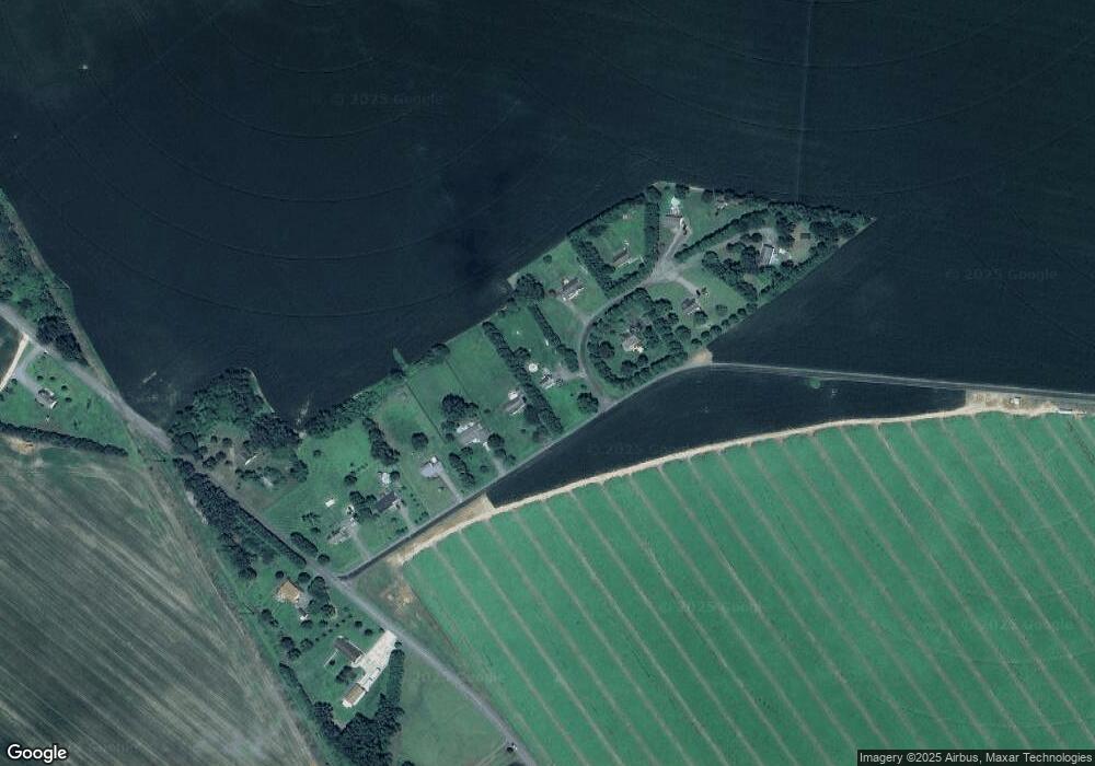
Map
Nearby Homes
- 4305 Langrell Rd
- 3345 Gallagher Rd
- 4604 Payne Rd
- 4215 Preston Rd
- 3485 Gallagher Rd
- 6720 Bobtown Rd
- 4308 Blink Horn Rd
- 4445 Rolling Acres Dr
- 3675 Seaman Rd
- 0 Gravel Branch Rd Unit MDDO2001942
- 6706 Jayar Way
- 212 Main St
- 3622 Choptank Rd
- 103 Chamber St
- 162 Main St
- 4907 Payne Rd
- 158 Wright St
- 106 Lednum Ave
- 6539 Cabin Ridge Rd
- 525 Academy St
- 4408 James Andrews Rd
- 6902 Lowery Ct
- 6903 Lowery Ct
- 4406 James Andrews Rd
- 6904 Lowery Ct
- 4404 James Andrews Rd
- 6906 Lowery Ct
- 4402 James Andrews Rd
- 6907 Lowery Ct
- 4400 James Andrews Rd
- 6945 Gravel Branch Rd
- 6947 Gravel Branch Rd
- 6942 Gravel Branch Rd
- 6938 Gravel Branch Rd
- 6932 Gravel Branch Rd
- 7010 Gravel Branch Rd
- 7025 Gravel Branch Rd
- 7031 Gravel Branch Rd
- 4416 Elwood Camp Rd
- 4420 Elwood Camp Rd