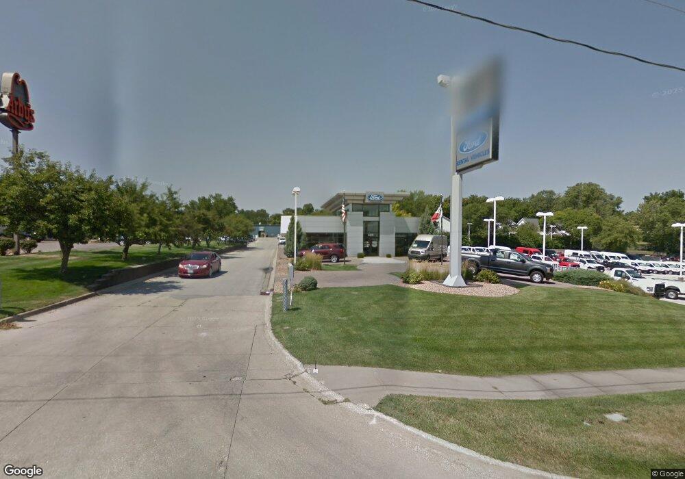
4410 Merle Hay Rd Des Moines, IA 50310
Estimated Value: $5,357,334
--
Bed
--
Bath
36,840
Sq Ft
$145/Sq Ft
Est. Value
About This Home
This home is located at 4410 Merle Hay Rd, Des Moines, IA 50310 and is currently estimated at $5,357,334, approximately $145 per square foot. 4410 Merle Hay Rd is a home located in Polk County with nearby schools including Urbandale Middle School, Urbandale High School, and St Pius X School.
Ownership History
Date
Name
Owned For
Owner Type
Purchase Details
Closed on
Jul 18, 2022
Sold by
Gabus Family Trust Lc
Bought by
Darbqueenof Cars Llc
Current Estimated Value
Purchase Details
Closed on
Aug 15, 2019
Sold by
Heritage At Grimes Llc
Bought by
Beaverbrooke Builders Llc
Purchase Details
Closed on
Jul 2, 2013
Sold by
Polk County
Bought by
Gabus Family Farms Lc
Purchase Details
Closed on
Oct 1, 2008
Sold by
Gabus Charles H
Bought by
Gabus Family Trust Lc
Create a Home Valuation Report for This Property
The Home Valuation Report is an in-depth analysis detailing your home's value as well as a comparison with similar homes in the area
Home Values in the Area
Average Home Value in this Area
Purchase History
| Date | Buyer | Sale Price | Title Company |
|---|---|---|---|
| Darbqueenof Cars Llc | $4,400,000 | None Listed On Document | |
| Beaverbrooke Builders Llc | $100,000 | None Available | |
| Gabus Family Farms Lc | -- | None Available | |
| Gabus Family Trust Lc | $2,763,500 | None Available |
Source: Public Records
Tax History Compared to Growth
Tax History
| Year | Tax Paid | Tax Assessment Tax Assessment Total Assessment is a certain percentage of the fair market value that is determined by local assessors to be the total taxable value of land and additions on the property. | Land | Improvement |
|---|---|---|---|---|
| 2025 | $136,190 | $4,403,400 | $2,146,800 | $2,256,600 |
| 2024 | $136,190 | $3,937,500 | $1,883,200 | $2,054,300 |
| 2023 | $110,448 | $3,937,500 | $1,883,200 | $2,054,300 |
| 2022 | $109,480 | $3,178,300 | $1,575,900 | $1,602,400 |
| 2021 | $103,240 | $3,178,300 | $1,575,900 | $1,602,400 |
| 2020 | $104,540 | $2,973,700 | $1,432,600 | $1,541,100 |
| 2019 | $97,960 | $2,973,700 | $1,432,600 | $1,541,100 |
| 2018 | $94,470 | $2,760,000 | $1,430,000 | $1,330,000 |
| 2017 | $85,912 | $2,700,000 | $1,430,000 | $1,270,000 |
| 2016 | $85,782 | $2,480,000 | $1,194,000 | $1,286,000 |
| 2015 | $85,782 | $2,480,000 | $1,194,000 | $1,286,000 |
| 2014 | $85,552 | $2,320,000 | $1,194,000 | $1,126,000 |
Source: Public Records
Map
Nearby Homes
- 4503 61st St
- 4507 60th St
- 4503 62nd St
- 4237 62nd St
- 4405 64th St
- 4210 62nd St Unit 2
- 4213 62nd St Unit 2
- 4212 62nd St Unit 5
- 4211 62nd St Unit 1
- 4202 62nd St Unit 6
- 4200 62nd St Unit 2
- 4149 56th St
- 4501 65th St
- 5583 Meredith Dr Unit 5C
- 4120 57th St
- 6404 Meredith Dr
- 4131 55th St
- 4211 65th St Unit 1
- 4212 65th St
- 5916 Sutton Place Unit 1
- 4404 Merle Hay Rd
- 5901 Townsend Ave Unit 1
- 5903 Townsend Ave Unit 2
- 5905 Townsend Ave Unit 3
- 4412 59th St Unit 7
- 4414 59th St Unit 8
- 5907 Townsend Ave
- 4418 59th St Unit 9
- 5909 Townsend Ave
- 5911 Townsend Ave Unit 6
- 4419 60th St
- 4420 59th St
- 4500 Merle Hay Rd
- 4421 60th St
- 4508 59th St
- 4505 60th St
- 4414 60th St
- 6004 Townsend Ave
- 4416 60th St
- 4351 Merle Hay Rd