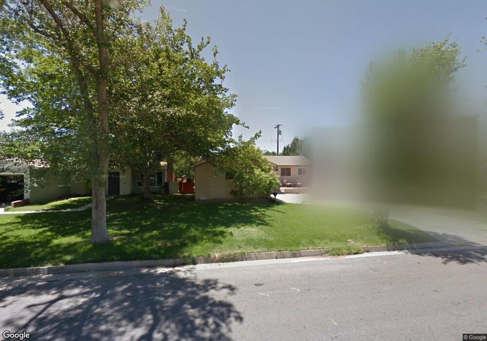
44107 Date Ave Lancaster, CA 93534
Central Lancaster NeighborhoodEstimated Value: $403,000 - $421,000
3
Beds
2
Baths
1,207
Sq Ft
$341/Sq Ft
Est. Value
About This Home
This home is located at 44107 Date Ave, Lancaster, CA 93534 and is currently estimated at $411,265, approximately $340 per square foot. 44107 Date Ave is a home located in Los Angeles County with nearby schools including Sierra Elementary School, Endeavour Middle School, and Antelope Valley High School.
Ownership History
Date
Name
Owned For
Owner Type
Purchase Details
Closed on
Aug 24, 2005
Sold by
Lamark Michael and Lamark Gina Sophia
Bought by
Victorian Sheronda
Current Estimated Value
Home Financials for this Owner
Home Financials are based on the most recent Mortgage that was taken out on this home.
Original Mortgage
$216,000
Interest Rate
7.75%
Mortgage Type
Purchase Money Mortgage
Purchase Details
Closed on
Jan 6, 2003
Sold by
Lamark Gina Sophia
Bought by
Lamark Michael
Home Financials for this Owner
Home Financials are based on the most recent Mortgage that was taken out on this home.
Original Mortgage
$72,000
Interest Rate
6.06%
Purchase Details
Closed on
Nov 20, 2000
Sold by
Jr Trust Shirley Leonard Jr Tr Leonard Shir
Bought by
Criswell Maria Theresia
Create a Home Valuation Report for This Property
The Home Valuation Report is an in-depth analysis detailing your home's value as well as a comparison with similar homes in the area
Home Values in the Area
Average Home Value in this Area
Purchase History
| Date | Buyer | Sale Price | Title Company |
|---|---|---|---|
| Victorian Sheronda | $270,000 | Fidelity | |
| Lamark Michael | -- | Fidelity National Title Co | |
| Criswell Maria Theresia | -- | -- |
Source: Public Records
Mortgage History
| Date | Status | Borrower | Loan Amount |
|---|---|---|---|
| Previous Owner | Victorian Sheronda | $216,000 | |
| Previous Owner | Lamark Michael | $72,000 |
Source: Public Records
Tax History
| Year | Tax Paid | Tax Assessment Tax Assessment Total Assessment is a certain percentage of the fair market value that is determined by local assessors to be the total taxable value of land and additions on the property. | Land | Improvement |
|---|---|---|---|---|
| 2025 | $5,836 | $368,954 | $227,662 | $141,292 |
| 2024 | $5,630 | $361,721 | $223,199 | $138,522 |
| 2023 | $5,507 | $354,629 | $218,823 | $135,806 |
| 2022 | $5,272 | $347,677 | $214,533 | $133,144 |
| 2021 | $4,065 | $275,000 | $170,300 | $104,700 |
| 2019 | $3,106 | $197,000 | $122,000 | $75,000 |
| 2018 | $2,898 | $180,500 | $111,600 | $68,900 |
| 2016 | $2,460 | $149,000 | $92,100 | $56,900 |
| 2015 | $2,151 | $123,000 | $76,000 | $47,000 |
| 2014 | $1,872 | $96,900 | $59,900 | $37,000 |
Source: Public Records
Map
Nearby Homes
- 44152 Elm Ave
- 521 W Avenue j5
- 44209 Date Ave
- 44054 Elm Ave
- 44048 Elm Ave
- 44054 Fern Ave
- 428 W Avenue j5 Unit 21
- 433 W Avenue j5 Unit 13
- 44036 Cedar Ave
- 44108 Gadsden Ave
- 4 Gadsden Ave
- 0 Gadsden Ave
- 0 Cedar Avenue Vic Ave Unit J
- 517 W Avenue j10
- 830 W Avenue j4
- 6717 6999 Avenue J
- 44309 Hardwood Ave
- 665 W Avenue J
- 43851 Fern Ave
- 43848 Fern Ave
Your Personal Tour Guide
Ask me questions while you tour the home.