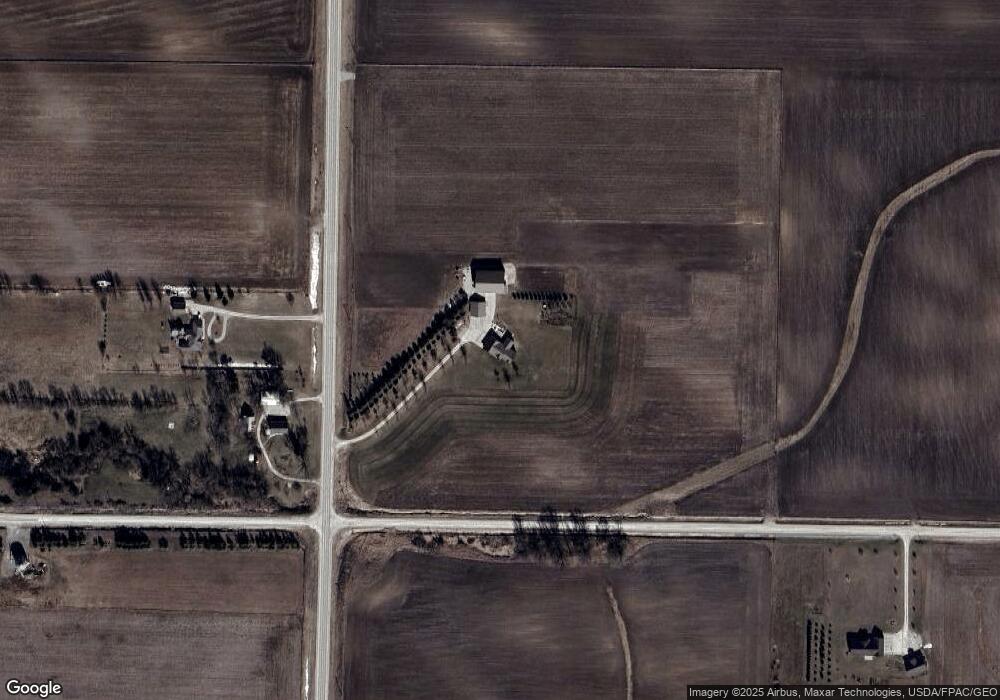
4411 Alice Rd Center Point, IA 52213
Estimated Value: $330,000 - $896,053
3
Beds
3
Baths
2,370
Sq Ft
$259/Sq Ft
Est. Value
About This Home
This home is located at 4411 Alice Rd, Center Point, IA 52213 and is currently estimated at $613,027, approximately $258 per square foot. 4411 Alice Rd is a home with nearby schools including Center Point-Urbana Primary School, Center Point-Urbana Intermediate School, and Center Point-Urbana Middle School.
Ownership History
Date
Name
Owned For
Owner Type
Purchase Details
Closed on
Mar 4, 2025
Sold by
Neighbor Mark A and Neighbor Stacey L
Bought by
Mark A Neighbor Revocable Trust and Stacey L Neighbor Revocable Trust
Current Estimated Value
Purchase Details
Closed on
Mar 15, 2005
Sold by
Neighbor Steven K and Neighbor Amy I
Bought by
Neighbor Mark A and Neighbor Stacey L
Create a Home Valuation Report for This Property
The Home Valuation Report is an in-depth analysis detailing your home's value as well as a comparison with similar homes in the area
Home Values in the Area
Average Home Value in this Area
Purchase History
| Date | Buyer | Sale Price | Title Company |
|---|---|---|---|
| Mark A Neighbor Revocable Trust | -- | None Listed On Document | |
| Mark A Neighbor Revocable Trust | -- | None Listed On Document | |
| Neighbor Mark A | $99,500 | -- |
Source: Public Records
Mortgage History
| Date | Status | Borrower | Loan Amount |
|---|---|---|---|
| Closed | Neighbor Mark A | $0 |
Source: Public Records
Tax History Compared to Growth
Tax History
| Year | Tax Paid | Tax Assessment Tax Assessment Total Assessment is a certain percentage of the fair market value that is determined by local assessors to be the total taxable value of land and additions on the property. | Land | Improvement |
|---|---|---|---|---|
| 2025 | $10,646 | $862,800 | $62,400 | $800,400 |
| 2024 | $8,740 | $768,100 | $52,300 | $715,800 |
| 2023 | $8,740 | $768,100 | $52,300 | $715,800 |
| 2022 | $8,600 | $527,000 | $40,600 | $486,400 |
| 2021 | $5,454 | $527,000 | $40,600 | $486,400 |
| 2020 | $5,454 | $317,300 | $40,200 | $277,100 |
| 2019 | $5,134 | $317,700 | $55,700 | $262,000 |
| 2018 | $4,928 | $317,700 | $55,700 | $262,000 |
| 2017 | $5,022 | $321,800 | $60,800 | $261,000 |
| 2016 | $5,020 | $321,800 | $60,800 | $261,000 |
| 2015 | $5,111 | $329,100 | $68,100 | $261,000 |
| 2014 | $4,156 | $329,100 | $68,100 | $261,000 |
| 2013 | $4,810 | $329,100 | $68,100 | $261,000 |
Source: Public Records
Map
Nearby Homes
- 0 Iowa Rd Unit 2507200
- 0 Old Center Rd
- 2886 Lynne Ln
- 3053 Roosevelt St
- 3 Klemish Cir
- 31 Acres N Center Point Rd
- 0 Carr Rd
- 507 Maplewood Dr
- 0 Grain Ln
- 809 Iowa St
- 529 Jefferson Ct
- 1109 Grubbs St
- 1010 Northview Dr
- 829 Main St S
- 920 E Washington St
- 702 Central Ave
- 523 E Terrace Dr
- 318 Crestview Dr
- 3873 Greens Grove Rd
- 115 Main St