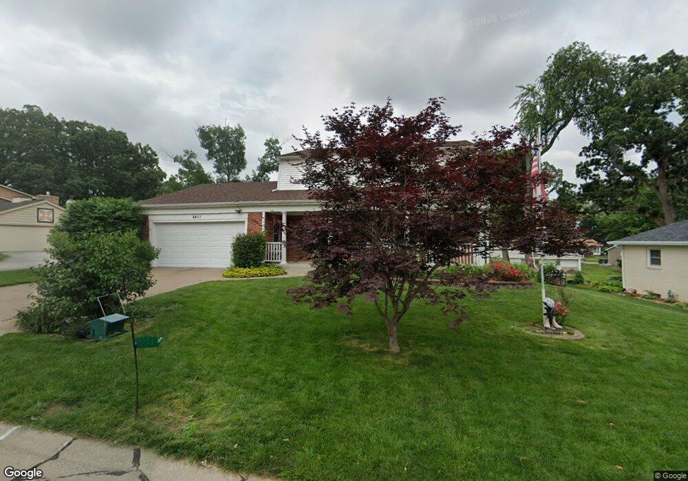
4411 Royal Oaks Dr Davenport, IA 52806
North Side NeighborhoodEstimated Value: $264,000 - $286,000
4
Beds
3
Baths
1,928
Sq Ft
$142/Sq Ft
Est. Value
About This Home
This home is located at 4411 Royal Oaks Dr, Davenport, IA 52806 and is currently estimated at $274,525, approximately $142 per square foot. 4411 Royal Oaks Dr is a home located in Scott County with nearby schools including Cumberland Hall School, Harrison Elementary School, and Academy Of Continuing Education.
Ownership History
Date
Name
Owned For
Owner Type
Purchase Details
Closed on
Apr 10, 2023
Sold by
Konrardy Robert J
Bought by
Blondie Living Trust and Konrardy
Current Estimated Value
Create a Home Valuation Report for This Property
The Home Valuation Report is an in-depth analysis detailing your home's value as well as a comparison with similar homes in the area
Home Values in the Area
Average Home Value in this Area
Purchase History
| Date | Buyer | Sale Price | Title Company |
|---|---|---|---|
| Blondie Living Trust | $1,000 | None Listed On Document |
Source: Public Records
Tax History Compared to Growth
Tax History
| Year | Tax Paid | Tax Assessment Tax Assessment Total Assessment is a certain percentage of the fair market value that is determined by local assessors to be the total taxable value of land and additions on the property. | Land | Improvement |
|---|---|---|---|---|
| 2025 | -- | $257,560 | $44,880 | $212,680 |
| 2024 | -- | $238,220 | $44,880 | $193,340 |
| 2023 | -- | $238,220 | $44,880 | $193,340 |
| 2022 | $0 | $214,320 | $32,640 | $181,680 |
| 2021 | $0 | $214,320 | $32,640 | $181,680 |
| 2020 | $4,353 | $200,350 | $32,640 | $167,710 |
| 2019 | $4,353 | $187,920 | $32,640 | $155,280 |
| 2018 | $0 | $187,920 | $32,640 | $155,280 |
| 2017 | $1,045 | $187,920 | $32,640 | $155,280 |
| 2016 | -- | $180,160 | $0 | $0 |
| 2015 | $3,650 | $179,520 | $0 | $0 |
| 2014 | $3,650 | $179,520 | $0 | $0 |
| 2013 | $3,650 | $0 | $0 | $0 |
| 2012 | $3,678 | $182,380 | $40,920 | $141,460 |
Source: Public Records
Map
Nearby Homes
- 4449 Royal Oaks Dr
- 4612 Warren St Unit 5
- 7 Vista Ct
- 4804 Northwest Blvd
- 4757 Willow Cir
- 4743 Willow Cir
- 4618 Fillmore Ln
- 825 Northbrook Dr
- 1453 W 41st St
- 4942 Brown St
- 405 Westerfield Rd
- 4705 N Sturdevant St
- 710 Northbrook Dr
- 611 Northbrook Dr
- 4610 N Ripley St
- 1336 W 38th Place
- 315 Colony Dr
- 4717 N Harrison St
- 1517 W Kimberly Rd
- 1344 W 37th St
- 4419 Royal Oaks Dr
- 4334 Wittman Dr
- 4340 Wittman Dr
- 4343 Royal Oaks Dr
- 4429 Royal Oaks Dr
- 4414 Royal Oaks Dr
- 4404 Royal Oaks Dr
- 4324 Wittman Dr
- 4422 Royal Oaks Dr
- 4342 Royal Oaks Dr
- 4350 Wittman Dr
- 4437 Royal Oaks Dr
- 4335 Royal Oaks Dr
- 4316 Wittman Dr
- 4432 Royal Oaks Dr
- 4331 Wittman Dr
- 4343 Wittman Dr
- 4332 Royal Oaks Dr
- 4455 Canterbury Ln
- 4445 Canterbury Ln