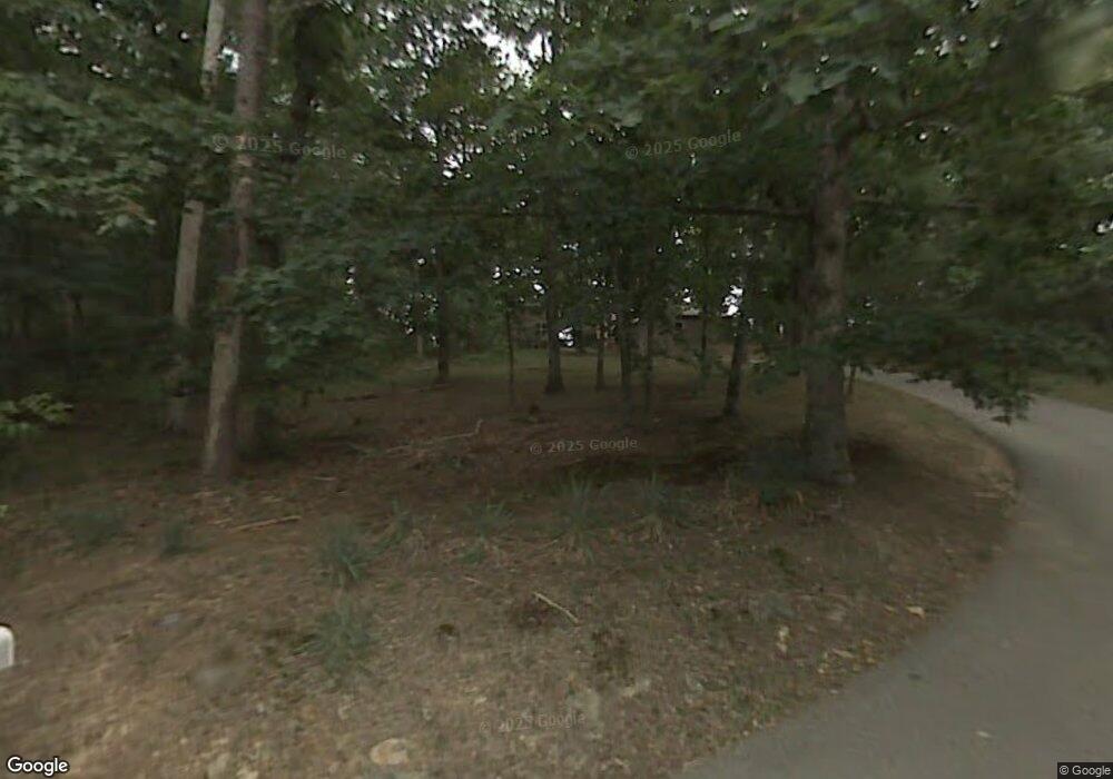
4412 Chestnut Ln Unit 10725 Signal Mountain, TN 37377
Walden NeighborhoodEstimated Value: $959,000 - $1,541,000
--
Bed
4
Baths
3,046
Sq Ft
$405/Sq Ft
Est. Value
About This Home
This home is located at 4412 Chestnut Ln Unit 10725, Signal Mountain, TN 37377 and is currently estimated at $1,234,854, approximately $405 per square foot. 4412 Chestnut Ln Unit 10725 is a home located in Hamilton County with nearby schools including Nolan Elementary School, Signal Mountain Middle/High School, and Signal Mountain Christian School.
Ownership History
Date
Name
Owned For
Owner Type
Purchase Details
Closed on
Dec 9, 2011
Sold by
Mclean George Wallace and Mclean George W
Bought by
Schnelzer Jerry J and Schnelzer Sherry R
Current Estimated Value
Home Financials for this Owner
Home Financials are based on the most recent Mortgage that was taken out on this home.
Original Mortgage
$250,000
Outstanding Balance
$27,261
Interest Rate
4.15%
Mortgage Type
New Conventional
Estimated Equity
$1,207,593
Create a Home Valuation Report for This Property
The Home Valuation Report is an in-depth analysis detailing your home's value as well as a comparison with similar homes in the area
Home Values in the Area
Average Home Value in this Area
Purchase History
| Date | Buyer | Sale Price | Title Company |
|---|---|---|---|
| Schnelzer Jerry J | $495,000 | Cumberland Title & Guaranty |
Source: Public Records
Mortgage History
| Date | Status | Borrower | Loan Amount |
|---|---|---|---|
| Open | Schnelzer Jerry J | $250,000 |
Source: Public Records
Tax History Compared to Growth
Tax History
| Year | Tax Paid | Tax Assessment Tax Assessment Total Assessment is a certain percentage of the fair market value that is determined by local assessors to be the total taxable value of land and additions on the property. | Land | Improvement |
|---|---|---|---|---|
| 2024 | $4,069 | $181,850 | $0 | $0 |
| 2023 | $5,035 | $181,850 | $0 | $0 |
| 2022 | $5,035 | $181,850 | $0 | $0 |
| 2021 | $5,035 | $181,850 | $0 | $0 |
| 2020 | $6,083 | $180,475 | $0 | $0 |
| 2019 | $5,902 | $180,475 | $0 | $0 |
| 2018 | $5,722 | $180,475 | $0 | $0 |
| 2017 | $5,686 | $180,475 | $0 | $0 |
| 2016 | $5,373 | $0 | $0 | $0 |
| 2015 | $5,373 | $168,225 | $0 | $0 |
| 2014 | $5,373 | $0 | $0 | $0 |
Source: Public Records
Map
Nearby Homes
- 3680 Wilson Ave
- 810 Younger Cir
- 914 Olsen Ave
- 3002 Wilson Ave
- 5517 Abby Grace Loop
- 2804 Taft Hwy
- 0 Browntown Rd Unit 1519397
- 60166014 Browntown Rd
- 311 Shady Crest Dr
- 5423 Mccahill Rd
- 792 Sawmill Trail
- 217 Lynnolen Ln
- 6015 Sawyer Rd
- 6016&6014 Browntown Rd
- 3612 Taft Hwy
- 4975 Browntown Rd
- 14 Lynnolen Ln
- 5751 Old Dayton Pike
- 5839 Dayton Blvd
- 848 Skyline Park Dr
- 4412 Chestnut Ln
- 4406 Chestnut Ln
- 4520 Chestnut Ave
- 4402 Chestnut Ln
- 4602 Chestnut Ave
- 0 Chestnut Ave Unit 1209003
- 0 Chestnut Ave
- 4601 Chestnut Ave
- 3609 E Brow Rd
- 4608 Chestnut Ave
- 4450 Chestnut Ave
- 4609 Chestnut Ave
- 4610 Chestnut Ave
- 3511 E Brow Rd
- 4016 Ivory Ave
- 4605 Chestnut Ave
- 4012 Ivory Ave
- 3509 E Brow Rd
- 4008 Ivory Ave
- 4800 Chestnut Ave
