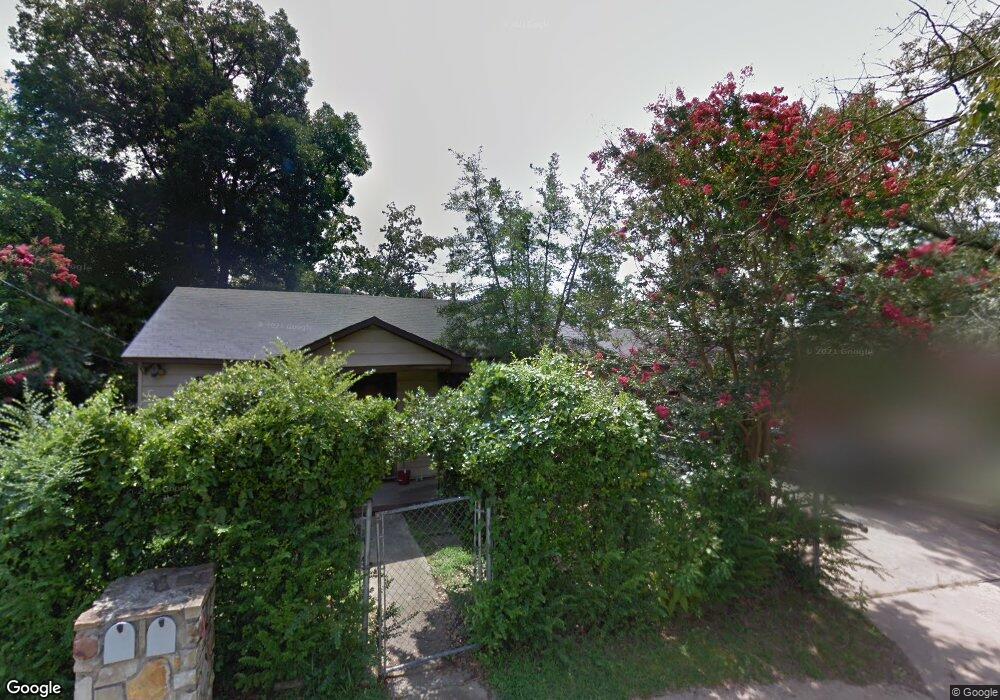
4413 Zion St Little Rock, AR 72204
John Barrow NeighborhoodEstimated Value: $87,115 - $157,000
--
Bed
1
Bath
1,125
Sq Ft
$101/Sq Ft
Est. Value
About This Home
This home is located at 4413 Zion St, Little Rock, AR 72204 and is currently estimated at $113,279, approximately $100 per square foot. 4413 Zion St is a home located in Pulaski County with nearby schools including Western Hills Elementary School, J.A. Fair K8 Preparatory School, and Henderson Middle School.
Ownership History
Date
Name
Owned For
Owner Type
Purchase Details
Closed on
Nov 4, 2024
Sold by
Mid South Homebuyers Llc
Bought by
Lane Daniel
Current Estimated Value
Purchase Details
Closed on
May 3, 2016
Sold by
Commissioner Of State Lands
Bought by
Moore Broadway Llc
Purchase Details
Closed on
May 24, 2005
Sold by
Morrison Jackson D and Morrison Nancy J
Bought by
Brown Margaret
Home Financials for this Owner
Home Financials are based on the most recent Mortgage that was taken out on this home.
Original Mortgage
$59,500
Interest Rate
10.35%
Mortgage Type
Fannie Mae Freddie Mac
Purchase Details
Closed on
Jun 4, 1991
Sold by
Storment Cletis J and Storment Royallene
Bought by
Morrison Jackson D and Morrison Nancy J
Create a Home Valuation Report for This Property
The Home Valuation Report is an in-depth analysis detailing your home's value as well as a comparison with similar homes in the area
Home Values in the Area
Average Home Value in this Area
Purchase History
| Date | Buyer | Sale Price | Title Company |
|---|---|---|---|
| Lane Daniel | $153,600 | None Listed On Document | |
| Lane Daniel | $153,600 | None Listed On Document | |
| Moore Broadway Llc | $2,702 | None Available | |
| Brown Margaret | $33,000 | Professional Land Title Comp | |
| Morrison Jackson D | -- | Standard Abstract & Title Co |
Source: Public Records
Mortgage History
| Date | Status | Borrower | Loan Amount |
|---|---|---|---|
| Previous Owner | Brown Margaret | $59,500 |
Source: Public Records
Tax History Compared to Growth
Tax History
| Year | Tax Paid | Tax Assessment Tax Assessment Total Assessment is a certain percentage of the fair market value that is determined by local assessors to be the total taxable value of land and additions on the property. | Land | Improvement |
|---|---|---|---|---|
| 2025 | $1,334 | $19,059 | $2,000 | $17,059 |
| 2024 | $457 | $19,059 | $2,000 | $17,059 |
| 2023 | $457 | $19,059 | $2,000 | $17,059 |
| 2022 | $419 | $19,059 | $2,000 | $17,059 |
| 2021 | $384 | $5,450 | $1,100 | $4,350 |
| 2020 | $382 | $5,450 | $1,100 | $4,350 |
| 2019 | $382 | $5,450 | $1,100 | $4,350 |
| 2018 | $382 | $5,450 | $1,100 | $4,350 |
| 2017 | $382 | $5,450 | $1,100 | $4,350 |
| 2016 | $580 | $8,280 | $2,200 | $6,080 |
| 2015 | $499 | $8,280 | $2,200 | $6,080 |
| 2014 | $499 | $7,120 | $2,200 | $4,920 |
Source: Public Records
Map
Nearby Homes
- 4814 Manor Ave
- 5006 Manor Ave
- 8219 W 39th St
- 7707 W 45th St
- 8307 Ascension Rd
- 4500 Ludwig St
- 4623 Malloy St
- 4412 Malloy St
- 8416 Westwood Ln
- Lot 53 Block 5 Westwood Ave
- 8224 W 37th St
- 4110 Malloy St
- 4800 Westwood Ave
- 4020 Malloy St
- 000 Potter St
- 0000 Stannus St
- 3613 Boyd St
- 8012 Westwood Ave
- 4422 Holt St
- 8414 W 36th St