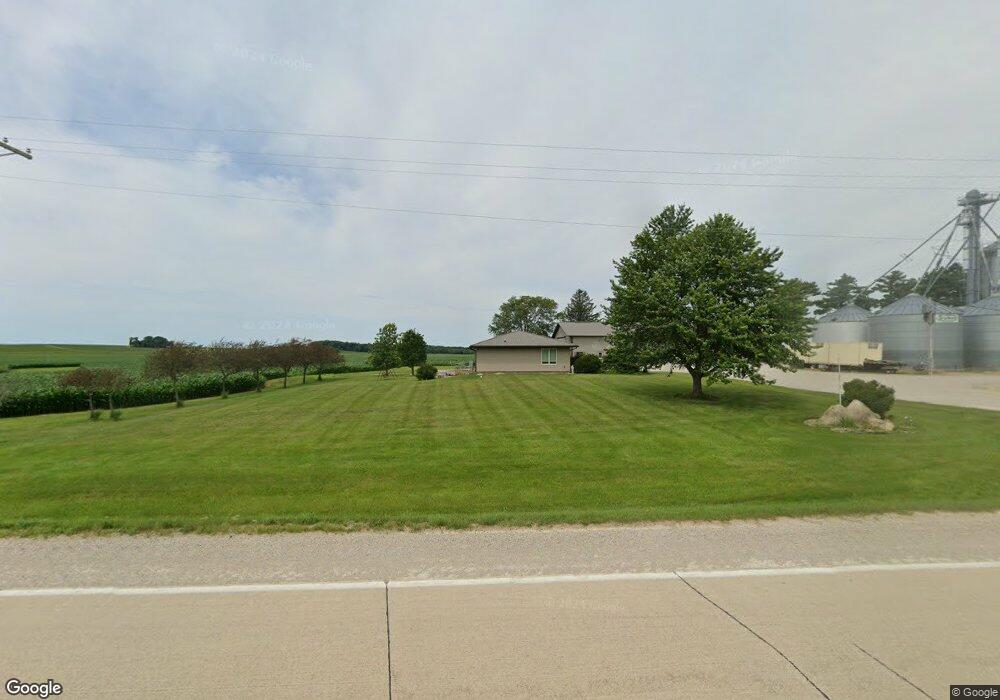
4414 N Alburnett Rd Alburnett, IA 52202
Estimated Value: $350,000 - $1,168,344
--
Bed
--
Bath
640
Sq Ft
$1,173/Sq Ft
Est. Value
About This Home
This home is located at 4414 N Alburnett Rd, Alburnett, IA 52202 and is currently estimated at $750,586, approximately $1,172 per square foot. 4414 N Alburnett Rd is a home with nearby schools including Alburnett Elementary School and Alburnett Junior/Senior High School.
Ownership History
Date
Name
Owned For
Owner Type
Purchase Details
Closed on
Jan 7, 2021
Sold by
Kirk Kara L
Bought by
Kirk Kelly D
Current Estimated Value
Purchase Details
Closed on
Dec 22, 2015
Sold by
Machacek Family Farms Inc
Bought by
Kirk Kelly D and Kirk Kara L
Home Financials for this Owner
Home Financials are based on the most recent Mortgage that was taken out on this home.
Original Mortgage
$350,000
Interest Rate
3.93%
Mortgage Type
Commercial
Create a Home Valuation Report for This Property
The Home Valuation Report is an in-depth analysis detailing your home's value as well as a comparison with similar homes in the area
Home Values in the Area
Average Home Value in this Area
Purchase History
| Date | Buyer | Sale Price | Title Company |
|---|---|---|---|
| Kirk Kelly D | -- | None Listed On Document | |
| Kirk Kelly D | $700,000 | None Available |
Source: Public Records
Mortgage History
| Date | Status | Borrower | Loan Amount |
|---|---|---|---|
| Previous Owner | Kirk Kelly D | $350,000 |
Source: Public Records
Tax History Compared to Growth
Tax History
| Year | Tax Paid | Tax Assessment Tax Assessment Total Assessment is a certain percentage of the fair market value that is determined by local assessors to be the total taxable value of land and additions on the property. | Land | Improvement |
|---|---|---|---|---|
| 2025 | $4,982 | $322,900 | $21,400 | $301,500 |
| 2024 | $3,086 | $302,400 | $18,300 | $284,100 |
| 2023 | $3,086 | $302,400 | $18,300 | $284,100 |
| 2022 | $3,028 | $162,500 | $13,600 | $148,900 |
| 2021 | $2,836 | $162,500 | $13,600 | $148,900 |
| 2020 | $2,836 | $150,900 | $13,900 | $137,000 |
| 2019 | $2,410 | $173,800 | $19,100 | $154,700 |
| 2018 | $2,334 | $173,800 | $19,100 | $154,700 |
| 2017 | $2,790 | $214,500 | $21,400 | $193,100 |
| 2016 | $0 | $0 | $0 | $0 |
Source: Public Records
Map
Nearby Homes
- 0 Old Center Rd
- 236 N Main Ave
- 4682 Reamer Rd
- 1900 Maine Ridge Rd
- 56 North Ave
- 43 River St S
- 29 5th St N
- 4889 Valley Farm Rd
- 257 5th St N
- 832 E Main St
- 3 Klemish Cir
- 5050 Shady Oak Ave
- 3496 E Otter Rd
- 0 Iowa Rd Unit 2507200
- 0 Carr Rd
- 1350 Waubeek Rd
- 3522 Lori Sue Ln
- 0 Parcel: 03104-02001-00000 Unit 2502368
- 5555 Troy Mills Rd
- 3351 Eagle View Ct