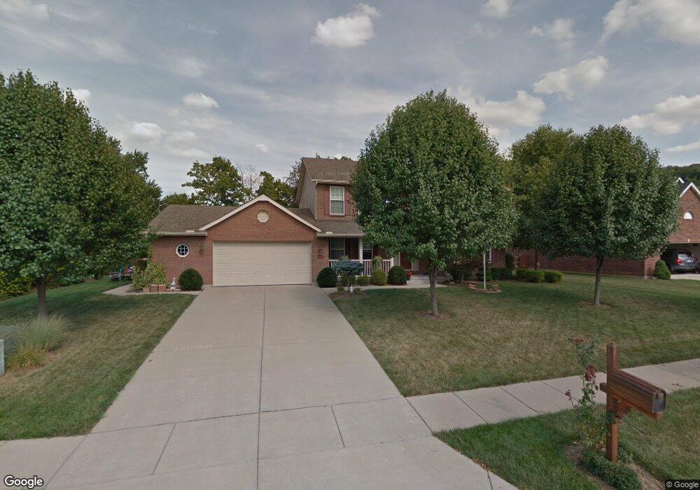
4417 Muskopf Dr Fairfield, OH 45014
Estimated Value: $382,000 - $460,000
4
Beds
3
Baths
2,540
Sq Ft
$167/Sq Ft
Est. Value
About This Home
This home is located at 4417 Muskopf Dr, Fairfield, OH 45014 and is currently estimated at $424,505, approximately $167 per square foot. 4417 Muskopf Dr is a home located in Butler County with nearby schools including Fairfield West Elementary School, Creekside Middle School, and Fairfield Senior High School.
Ownership History
Date
Name
Owned For
Owner Type
Purchase Details
Closed on
Apr 14, 2004
Sold by
Landmark Communities Inc
Bought by
Madden Roger D and Madden Tana K
Current Estimated Value
Home Financials for this Owner
Home Financials are based on the most recent Mortgage that was taken out on this home.
Original Mortgage
$184,902
Outstanding Balance
$85,797
Interest Rate
5.46%
Mortgage Type
Purchase Money Mortgage
Estimated Equity
$338,708
Create a Home Valuation Report for This Property
The Home Valuation Report is an in-depth analysis detailing your home's value as well as a comparison with similar homes in the area
Home Values in the Area
Average Home Value in this Area
Purchase History
| Date | Buyer | Sale Price | Title Company |
|---|---|---|---|
| Madden Roger D | $231,127 | Prodigy Title Agency Llc | |
| Landmark Communities Inc | -- | Prodigy Title Agency Llc |
Source: Public Records
Mortgage History
| Date | Status | Borrower | Loan Amount |
|---|---|---|---|
| Open | Madden Roger D | $184,902 | |
| Closed | Madden Roger D | $34,669 |
Source: Public Records
Tax History Compared to Growth
Tax History
| Year | Tax Paid | Tax Assessment Tax Assessment Total Assessment is a certain percentage of the fair market value that is determined by local assessors to be the total taxable value of land and additions on the property. | Land | Improvement |
|---|---|---|---|---|
| 2024 | $3,697 | $100,360 | $24,160 | $76,200 |
| 2023 | $3,679 | $100,470 | $24,160 | $76,310 |
| 2022 | $6,429 | $87,270 | $24,160 | $63,110 |
| 2021 | $3,608 | $86,030 | $24,160 | $61,870 |
| 2020 | $3,753 | $86,030 | $24,160 | $61,870 |
| 2019 | $7,194 | $83,320 | $24,140 | $59,180 |
| 2018 | $4,129 | $83,320 | $24,140 | $59,180 |
| 2017 | $4,170 | $83,320 | $24,140 | $59,180 |
| 2016 | $4,290 | $81,600 | $24,140 | $57,460 |
| 2015 | $4,084 | $81,600 | $24,140 | $57,460 |
| 2014 | $3,512 | $81,600 | $24,140 | $57,460 |
| 2013 | $3,512 | $73,630 | $20,940 | $52,690 |
Source: Public Records
Map
Nearby Homes
- 5428 Tallawanda Dr
- 5477 Southgate Blvd
- 5719 Lindenwood Ln
- 5729 Red Oak Dr
- 5360 Burgundy Place
- 1395 Corydale Dr
- 4747 Circle Dr
- 1045 City Center Ln
- 5604 Chateau Way
- 5628 Bordeaux Way
- 6271 River Rd
- 5826 High Point Ct
- 3238 Village Dr
- 5864 Emerald Lake Dr
- 5476 Lakeside Dr
- 5130 Groh Ln
- 5005 River Rd
- 1523 Hunter Rd
- 4300 Waterfront Ct
- 1627 Congress Hill Ln
- 4409 Muskopf Dr
- 4425 Muskopf Dr
- 4426 Muskopf Dr
- 4408 Muskopf Dr
- 4434 Muskopf Dr
- 4418 Muskopf Dr
- 4401 Muskopf Dr
- 4433 Muskopf Dr
- 5517 Hiawatha Ct
- 5511 Hiawatha Ct
- 5503 Hiawatha Ct
- 4450 Muskopf Dr
- 5495 Hiawatha Ct
- 4441 Muskopf Dr
- 5487 Hiawatha Ct
- 5523 Hiawatha Ct
- 3404 Muskopf Ct
- 5479 Hiawatha Ct
- 3380 Muskopf Ct
- 5383 Iroquois Ave