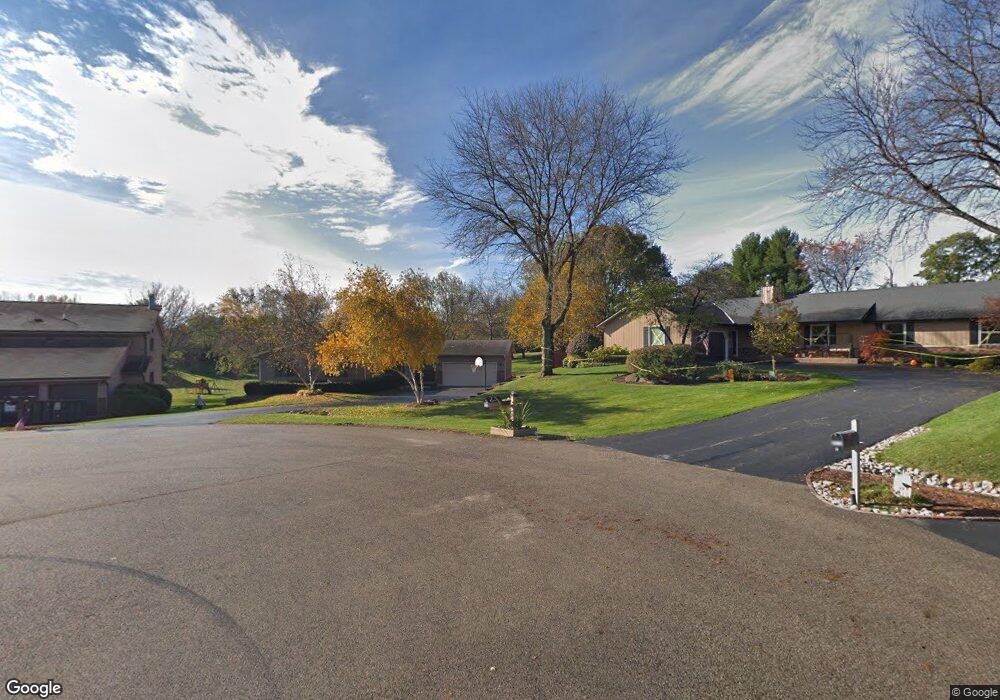
4417 Scott Ct Crystal Lake, IL 60014
Estimated Value: $424,794 - $490,000
--
Bed
1
Bath
1,708
Sq Ft
$272/Sq Ft
Est. Value
About This Home
This home is located at 4417 Scott Ct, Crystal Lake, IL 60014 and is currently estimated at $465,199, approximately $272 per square foot. 4417 Scott Ct is a home located in McHenry County with nearby schools including Coventry Elementary School, Hannah Beardsley Middle School, and Prairie Ridge High School.
Ownership History
Date
Name
Owned For
Owner Type
Purchase Details
Closed on
Dec 15, 1999
Sold by
Whitson Randall C and Whitson Lucie H
Bought by
Bender Robert L and Bender Linda D
Current Estimated Value
Home Financials for this Owner
Home Financials are based on the most recent Mortgage that was taken out on this home.
Original Mortgage
$100,000
Interest Rate
7.87%
Purchase Details
Closed on
Jul 29, 1993
Sold by
Whitson Randall C and Whitson Lucie H
Bought by
Whitson Randall C and Whitson Lucie H
Create a Home Valuation Report for This Property
The Home Valuation Report is an in-depth analysis detailing your home's value as well as a comparison with similar homes in the area
Home Values in the Area
Average Home Value in this Area
Purchase History
| Date | Buyer | Sale Price | Title Company |
|---|---|---|---|
| Bender Robert L | $235,000 | -- | |
| Whitson Randall C | -- | -- |
Source: Public Records
Mortgage History
| Date | Status | Borrower | Loan Amount |
|---|---|---|---|
| Closed | Bender Robert L | $100,000 |
Source: Public Records
Tax History Compared to Growth
Tax History
| Year | Tax Paid | Tax Assessment Tax Assessment Total Assessment is a certain percentage of the fair market value that is determined by local assessors to be the total taxable value of land and additions on the property. | Land | Improvement |
|---|---|---|---|---|
| 2024 | $8,727 | $129,837 | $25,858 | $103,979 |
| 2023 | $8,342 | $116,123 | $23,127 | $92,996 |
| 2022 | $4,584 | $125,379 | $20,873 | $104,506 |
| 2021 | $9,169 | $116,806 | $19,446 | $97,360 |
| 2020 | $4,740 | $112,671 | $18,758 | $93,913 |
| 2019 | $4,819 | $107,840 | $17,954 | $89,886 |
| 2018 | $8,116 | $99,622 | $16,586 | $83,036 |
| 2017 | $8,033 | $93,850 | $15,625 | $78,225 |
| 2016 | $7,834 | $88,023 | $14,655 | $73,368 |
| 2013 | -- | $67,616 | $13,671 | $53,945 |
Source: Public Records
Map
Nearby Homes
- 6504 Sands Rd
- 4717 Wallens Dr
- 6102 Scott Ln
- 4010 Wyndwood Dr
- 4119 White Ash Rd
- 5912 Prairie Ridge Rd
- Lot#34 White Ash Rd
- 3814 Church Hill Ln
- 3717 Lindsay Ln
- 6111 Pingree Rd
- 438 Golf View Dr
- 6201 N Wyndwood Dr
- 5805 Wild Plum Rd
- 6418 Carrie Ct
- 602 Hillcrest Ln
- 797 Silk Oak Ln Unit 797
- 800 Oakbrook Dr
- 822 Oakbrook Dr
- 674 Pointe Dr Unit 123
- 221 Mistwood Ln
- 4415 Scott Ct Unit 2
- 4420 Scott Ct
- 6501 Scott Ln
- 4418 Scott Ct
- 4420 S Nancy Dr
- 6507 Scott Ln
- 4504 S Nancy Dr
- 4412 Scott Ct Unit 2
- 4513 Laurie Ln
- 4517 Laurie Ln
- 6513 Scott Ln
- 4508 S Nancy Dr
- 6500 Scott Ln
- 4509 Laurie Ln
- 4503 Laurie Ln
- 6502 Scott Ln
- 6506 Scott Ln
- 4521 Laurie Ln
- 4421 S Nancy Dr
- 4503 S Nancy Dr