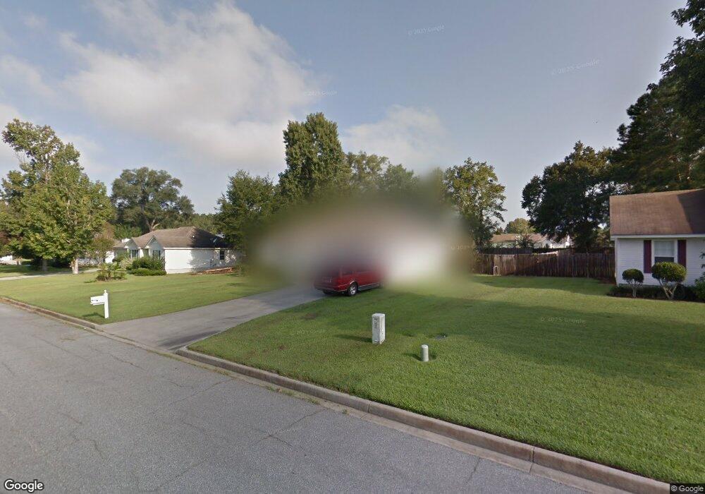
4419 Cranston Cir Valdosta, GA 31605
Estimated Value: $200,387 - $243,000
4
Beds
2
Baths
1,458
Sq Ft
$156/Sq Ft
Est. Value
About This Home
This home is located at 4419 Cranston Cir, Valdosta, GA 31605 and is currently estimated at $227,847, approximately $156 per square foot. 4419 Cranston Cir is a home located in Lowndes County with nearby schools including Dewar Elementary School, Pine Grove Middle School, and Lowndes High School.
Ownership History
Date
Name
Owned For
Owner Type
Purchase Details
Closed on
Mar 18, 2008
Sold by
Kea Zachary A
Bought by
Lewis Veronica F
Current Estimated Value
Home Financials for this Owner
Home Financials are based on the most recent Mortgage that was taken out on this home.
Original Mortgage
$127,893
Outstanding Balance
$79,204
Interest Rate
5.63%
Mortgage Type
FHA
Estimated Equity
$148,643
Purchase Details
Closed on
Jul 14, 2005
Sold by
Lasure Anthony M
Bought by
Kea Zachary A and Kea Kimberly T
Home Financials for this Owner
Home Financials are based on the most recent Mortgage that was taken out on this home.
Original Mortgage
$112,140
Interest Rate
5.59%
Mortgage Type
FHA
Purchase Details
Closed on
Mar 26, 1997
Bought by
Lasure Anthony A
Create a Home Valuation Report for This Property
The Home Valuation Report is an in-depth analysis detailing your home's value as well as a comparison with similar homes in the area
Home Values in the Area
Average Home Value in this Area
Purchase History
| Date | Buyer | Sale Price | Title Company |
|---|---|---|---|
| Lewis Veronica F | $129,900 | -- | |
| Kea Zachary A | $113,900 | -- | |
| Lasure Anthony A | $84,900 | -- |
Source: Public Records
Mortgage History
| Date | Status | Borrower | Loan Amount |
|---|---|---|---|
| Open | Lewis Veronica F | $127,893 | |
| Previous Owner | Kea Zachary A | $112,140 |
Source: Public Records
Tax History Compared to Growth
Tax History
| Year | Tax Paid | Tax Assessment Tax Assessment Total Assessment is a certain percentage of the fair market value that is determined by local assessors to be the total taxable value of land and additions on the property. | Land | Improvement |
|---|---|---|---|---|
| 2024 | $1,521 | $68,192 | $10,000 | $58,192 |
| 2023 | $1,521 | $68,192 | $10,000 | $58,192 |
| 2022 | $1,256 | $49,717 | $10,000 | $39,717 |
| 2021 | $1,310 | $49,717 | $10,000 | $39,717 |
| 2020 | $1,026 | $42,570 | $10,000 | $32,570 |
| 2019 | $1,037 | $42,570 | $10,000 | $32,570 |
| 2018 | $1,047 | $42,570 | $10,000 | $32,570 |
| 2017 | $1,118 | $44,758 | $10,000 | $34,758 |
| 2016 | $1,120 | $44,758 | $10,000 | $34,758 |
| 2015 | -- | $45,498 | $10,000 | $35,498 |
| 2014 | $1,117 | $45,498 | $10,000 | $35,498 |
Source: Public Records
Map
Nearby Homes
- 4366 Hampton Dr
- 3378 Dinky Run
- 3515 Spence Dr
- 4084 Mulligan Rd
- The Palm A Plan at Bemiss Springs
- The Palm B Plan at Bemiss Springs
- 6412 Abney Ct
- 6420 Abney Ct
- 4300 Bemiss Rd
- 3848 Zaun Cir
- 3893 Zaun Cir
- 3885 Zaun Cir
- 3816 Heather Way
- 4175 Hamilton Cir
- 3999 Brightwell Dr
- 4581 4595 Bemiss Rd
- 4017 Gramercy Dr
- 3968 W Glen Lauel
- 4010 Gramercy Dr
- 4012 Glen Laurel Dr N
- 4413 Cranston Cir
- 4425 Cranston Cir
- 4414 Wood Hollow Cir
- 4431 Cranston Cir
- 4407 Cranston Cir
- 4420 Wood Hollow Cir
- 4408 Wood Hollow Cir
- 4424 Cranston Cir
- 4418 Cranston Cir
- 4412 Cranston Cir
- 4402 Wood Hollow Cir
- 4437 Cranston Cir
- 4446 Cranston Cir
- 4426 Wood Hollow Cir
- 4377 Hampton Dr
- 4360 Hampton Dr
- 4372 Hampton Dr
- 4441 Cranston Cir
- 4445 Cranston Cir
- 4415 Wood Hollow Cir