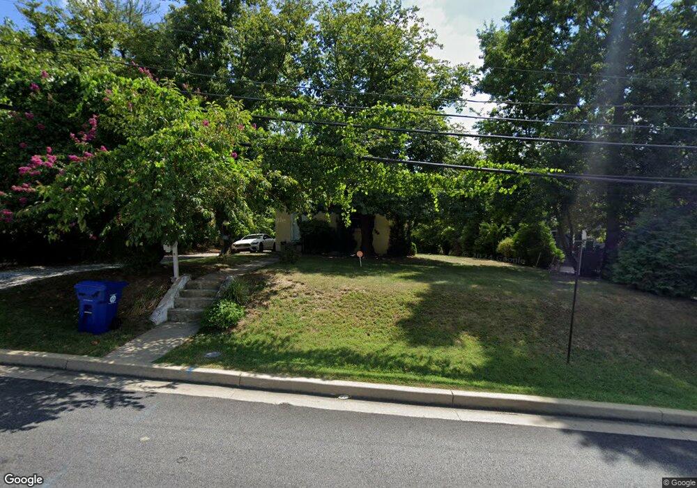
4419 Mannasota Ave Baltimore, MD 21206
Frankford NeighborhoodEstimated Value: $318,073 - $334,000
4
Beds
2
Baths
2,600
Sq Ft
$125/Sq Ft
Est. Value
About This Home
This home is located at 4419 Mannasota Ave, Baltimore, MD 21206 and is currently estimated at $326,037, approximately $125 per square foot. 4419 Mannasota Ave is a home located in Baltimore City with nearby schools including Furley Elementary School, Booker T. Washington Middle School, and Paul Laurence Dunbar High School.
Ownership History
Date
Name
Owned For
Owner Type
Purchase Details
Closed on
Nov 12, 2010
Sold by
Hamilton Laureen Ellen
Bought by
Close Hari and Close Gwen
Current Estimated Value
Purchase Details
Closed on
May 21, 2008
Sold by
Nuth Gerald A
Bought by
Hamilton Laureen Ellen and Nuth John Lawrence
Purchase Details
Closed on
Apr 8, 2008
Sold by
Nuth Gerald A
Bought by
Hamilton Laureen Ellen and Nuth John Lawrence
Create a Home Valuation Report for This Property
The Home Valuation Report is an in-depth analysis detailing your home's value as well as a comparison with similar homes in the area
Home Values in the Area
Average Home Value in this Area
Purchase History
| Date | Buyer | Sale Price | Title Company |
|---|---|---|---|
| Close Hari | $42,900 | -- | |
| Hamilton Laureen Ellen | -- | -- | |
| Hamilton Laureen Ellen | -- | -- |
Source: Public Records
Tax History Compared to Growth
Tax History
| Year | Tax Paid | Tax Assessment Tax Assessment Total Assessment is a certain percentage of the fair market value that is determined by local assessors to be the total taxable value of land and additions on the property. | Land | Improvement |
|---|---|---|---|---|
| 2025 | $2,297 | $192,700 | -- | -- |
| 2024 | $2,297 | $181,300 | $51,300 | $130,000 |
| 2023 | $4,161 | $176,333 | $0 | $0 |
| 2022 | $3,684 | $171,367 | $0 | $0 |
| 2021 | $3,927 | $166,400 | $51,300 | $115,100 |
| 2020 | $3,601 | $166,400 | $51,300 | $115,100 |
| 2019 | $3,583 | $166,400 | $51,300 | $115,100 |
| 2018 | $3,684 | $168,500 | $51,300 | $117,200 |
| 2017 | $3,721 | $168,500 | $0 | $0 |
| 2016 | $4,247 | $168,500 | $0 | $0 |
| 2015 | $4,247 | $172,100 | $0 | $0 |
| 2014 | $4,247 | $172,100 | $0 | $0 |
Source: Public Records
Map
Nearby Homes
- 4310 Stanwood Ave
- 4301 Seidel Ave
- 4239 Seidel Ave
- 4301 Brehms Ln
- 4316 Shamrock Ave
- 4262 Sheldon Ave
- 4314 Shamrock Ave
- 4258 Sheldon Ave
- 4348 Parkside Dr
- 4269 Sheldon Ave
- 4218 Seidel Ave
- 4400 Asbury Ave
- 4244 Shamrock Ave
- 4233 Sheldon Ave
- 4611 Bowleys Ln
- 4208 Sheldon Ave
- 4304 Roberton Ave
- 4301 Roberton Ave
- 4628 Parkside Dr
- 4146 Eierman Ave
- 4417 Mannasota Ave
- 4415 Mannasota Ave
- 4400 Mannasota Ave
- 4369 Seidel Ave
- 4367 Seidel Ave
- 4365 Seidel Ave
- 4420 Mannasota Ave
- 4363 Seidel Ave
- 4361 Seidel Ave
- 4359 Seidel Ave
- 4357 Seidel Ave
- 4376 Nicholas Ave
- 4355 Seidel Ave
- 4378 Nicholas Ave
- 4336 Seidel Ave
- 4374 Nicholas Ave
- 4372 Nicholas Ave
- 4353 Seidel Ave
- 4370 Nicholas Ave
- 4368 Nicholas Ave