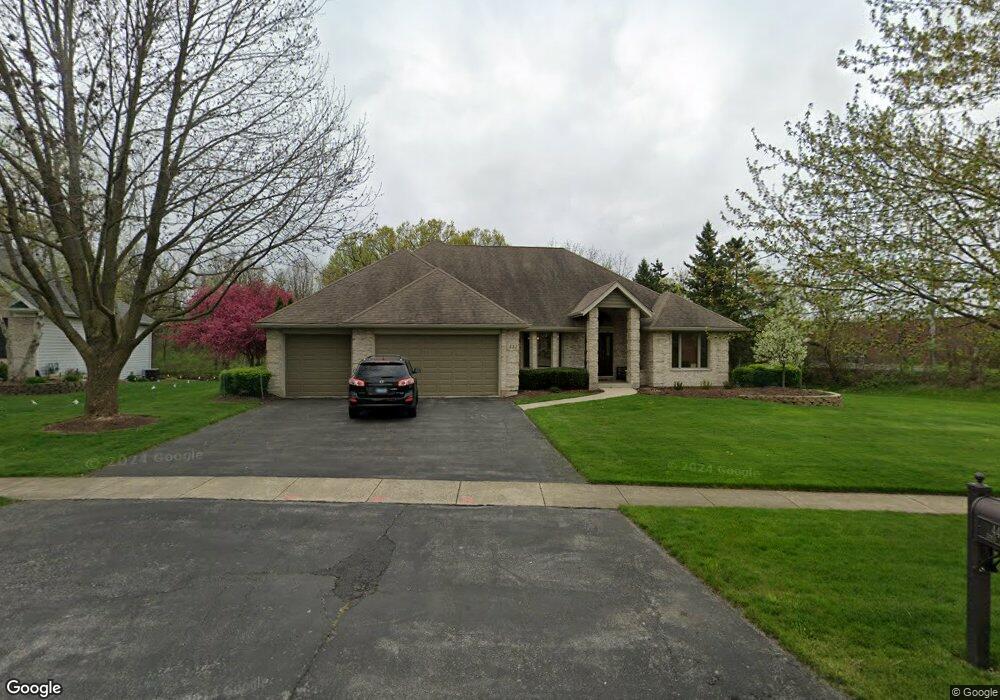
442 Bond Dr Batavia, IL 60510
Southeast Batavia NeighborhoodEstimated Value: $511,609 - $665,000
3
Beds
--
Bath
2,771
Sq Ft
$220/Sq Ft
Est. Value
About This Home
This home is located at 442 Bond Dr, Batavia, IL 60510 and is currently estimated at $609,402, approximately $219 per square foot. 442 Bond Dr is a home located in Kane County with nearby schools including Louise White Elementary School, Sam Rotolo Middle School, and Batavia Sr High School.
Ownership History
Date
Name
Owned For
Owner Type
Purchase Details
Closed on
Nov 16, 2023
Sold by
Morrison Raymond G and Morrison Teresa L
Bought by
Raymond George Morrison Revocable Living Trus and Teresa Lynn Morrison Revocable Living Trust
Current Estimated Value
Purchase Details
Closed on
May 25, 2023
Sold by
Morrison Teresa L
Bought by
Morrison Raymond G and Morrison Teresa L
Purchase Details
Closed on
Mar 8, 2003
Sold by
Morrison Raymond G
Bought by
Morrison Teresa L
Purchase Details
Closed on
Aug 17, 1995
Sold by
First National Bank Of Evergreen Park
Bought by
Norrison Raymond G and Norrison Teresa L
Home Financials for this Owner
Home Financials are based on the most recent Mortgage that was taken out on this home.
Original Mortgage
$47,000
Interest Rate
7.43%
Create a Home Valuation Report for This Property
The Home Valuation Report is an in-depth analysis detailing your home's value as well as a comparison with similar homes in the area
Home Values in the Area
Average Home Value in this Area
Purchase History
| Date | Buyer | Sale Price | Title Company |
|---|---|---|---|
| Raymond George Morrison Revocable Living Trus | -- | None Listed On Document | |
| Morrison Raymond G | -- | None Listed On Document | |
| Morrison Teresa L | -- | -- | |
| Norrison Raymond G | $67,000 | -- |
Source: Public Records
Mortgage History
| Date | Status | Borrower | Loan Amount |
|---|---|---|---|
| Previous Owner | Norrison Raymond G | $47,000 |
Source: Public Records
Tax History
| Year | Tax Paid | Tax Assessment Tax Assessment Total Assessment is a certain percentage of the fair market value that is determined by local assessors to be the total taxable value of land and additions on the property. | Land | Improvement |
|---|---|---|---|---|
| 2024 | $11,195 | $157,596 | $17,197 | $140,399 |
| 2023 | $11,172 | $143,035 | $15,608 | $127,427 |
| 2022 | $11,149 | $133,678 | $14,587 | $119,091 |
| 2021 | $10,707 | $126,781 | $13,834 | $112,947 |
| 2020 | $10,444 | $124,344 | $13,568 | $110,776 |
| 2019 | $10,276 | $119,942 | $13,088 | $106,854 |
| 2018 | $10,155 | $118,552 | $12,589 | $105,963 |
| 2017 | $9,912 | $114,643 | $12,174 | $102,469 |
| 2016 | $9,703 | $111,303 | $11,819 | $99,484 |
| 2015 | -- | $108,769 | $11,550 | $97,219 |
| 2014 | -- | $105,345 | $11,186 | $94,159 |
| 2013 | -- | $106,566 | $14,244 | $92,322 |
Source: Public Records
Map
Nearby Homes
- 1705 South Ct
- 527 Ridgelawn Trail
- 1687 Sauk Dr
- 1220 Davey Dr
- 860 S River St
- Lot 4 Manchester Ave
- 1816 Burnell Ct
- 694 Hart Rd
- 1012 Edwards Dr
- 2S924 Shagbark Dr
- 1206 Beckman Ln
- 1013 Fitzwilliam Way
- 239 Durham St
- 243 Durham St
- 724 S Jefferson St
- 906 Homerton Blvd
- 304 S Prairie St
- 2007 Gillenwater St
- 404 S Batavia Ave
- 1136 Pine Ct
Your Personal Tour Guide
Ask me questions while you tour the home.