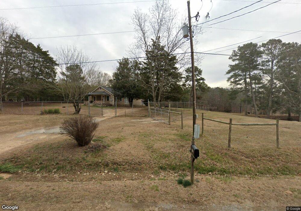
442 Boulder Rd Kingston, GA 30145
Estimated Value: $214,000 - $315,000
--
Bed
1
Bath
1,150
Sq Ft
$239/Sq Ft
Est. Value
About This Home
This home is located at 442 Boulder Rd, Kingston, GA 30145 and is currently estimated at $274,405, approximately $238 per square foot. 442 Boulder Rd is a home with nearby schools including Model Middle School and Model High School.
Ownership History
Date
Name
Owned For
Owner Type
Purchase Details
Closed on
Apr 4, 2006
Bought by
P and R
Current Estimated Value
Purchase Details
Closed on
Jan 18, 2006
Bought by
P and R
Purchase Details
Closed on
Dec 3, 2001
Sold by
Harris Ralph Edward
Bought by
Rogers Chuck
Purchase Details
Closed on
Mar 29, 1997
Sold by
Harris Glenda Kerce
Bought by
Harris Ralph Edward
Purchase Details
Closed on
Apr 27, 1984
Sold by
Kerce Ralph Harvey
Bought by
Harris Glenda Kerce
Purchase Details
Closed on
May 3, 1962
Bought by
Kerce Ralph Harvey
Create a Home Valuation Report for This Property
The Home Valuation Report is an in-depth analysis detailing your home's value as well as a comparison with similar homes in the area
Home Values in the Area
Average Home Value in this Area
Purchase History
| Date | Buyer | Sale Price | Title Company |
|---|---|---|---|
| P | -- | -- | |
| Rogers Chuck | -- | -- | |
| P | -- | -- | |
| Rogers Chuck | $20,000 | -- | |
| Harris Ralph Edward | -- | -- | |
| Harris Glenda Kerce | -- | -- | |
| Kerce Ralph Harvey | -- | -- |
Source: Public Records
Tax History
| Year | Tax Paid | Tax Assessment Tax Assessment Total Assessment is a certain percentage of the fair market value that is determined by local assessors to be the total taxable value of land and additions on the property. | Land | Improvement |
|---|---|---|---|---|
| 2025 | $1,062 | $119,551 | $99,947 | $19,604 |
| 2024 | $1,062 | $97,930 | $79,958 | $17,972 |
| 2023 | $984 | $97,292 | $79,958 | $17,334 |
| 2022 | $2,260 | $76,159 | $62,961 | $13,198 |
| 2021 | $1,670 | $55,330 | $44,949 | $10,381 |
| 2020 | $1,511 | $49,659 | $39,812 | $9,847 |
| 2019 | $1,476 | $49,125 | $39,812 | $9,313 |
| 2018 | $1,304 | $43,330 | $34,636 | $8,694 |
| 2017 | $1,297 | $43,020 | $34,636 | $8,384 |
| 2016 | $1,305 | $42,756 | $34,600 | $8,156 |
| 2015 | $1,276 | $42,756 | $34,600 | $8,156 |
| 2014 | $1,276 | $42,756 | $34,600 | $8,156 |
Source: Public Records
Map
Nearby Homes
- 0 Mcclain Rd Unit 10537234
- 676 Flowery Branch Rd
- 851 Barnsley Garden Rd
- 2878 E Hermitage Rd
- 0 Galway Dr NE
- 159 Ward Mountain Rd
- 0 Ireland Dr NE Unit 7718178
- 0 Ireland Dr NE Unit 10688351
- 350 Galway Dr
- 96 Collins Rd NE
- 0 Flowery Branch Rd Unit 7684237
- 0 Flowery Branch Rd Unit 10651048
- 221 Dry Creek Rd NW Unit LotWP001
- 221 Dry Creek Rd NW
- 0 E Hermitage Unit 26083645
- 130 Connesena Rd
- 919 Ward Mountain Rd
- 1799 Wayside Rd
- 1746 Wayside Rd
- 147 Youngs Mill Rd
Your Personal Tour Guide
Ask me questions while you tour the home.