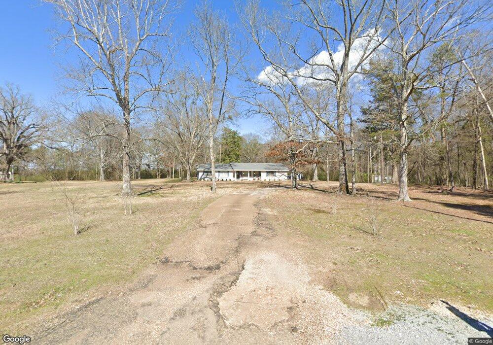
442 Cole Rd Columbus, MS 39702
Estimated Value: $181,000 - $211,852
Studio
--
Bath
1,650
Sq Ft
$118/Sq Ft
Est. Value
About This Home
This home is located at 442 Cole Rd, Columbus, MS 39702 and is currently estimated at $195,463, approximately $118 per square foot. 442 Cole Rd is a home.
Ownership History
Date
Name
Owned For
Owner Type
Purchase Details
Closed on
Jun 22, 2020
Sold by
Johnson Matthew D and Johnson Sunny S
Bought by
Henry Geroge M
Current Estimated Value
Home Financials for this Owner
Home Financials are based on the most recent Mortgage that was taken out on this home.
Original Mortgage
$146,464
Outstanding Balance
$129,542
Interest Rate
3.2%
Mortgage Type
Stand Alone Refi Refinance Of Original Loan
Estimated Equity
$65,921
Purchase Details
Closed on
Jun 19, 2020
Sold by
Johnson Matthew D and Johnson Sunny S
Bought by
Henry Geroge M
Home Financials for this Owner
Home Financials are based on the most recent Mortgage that was taken out on this home.
Original Mortgage
$146,464
Outstanding Balance
$129,542
Interest Rate
3.2%
Mortgage Type
Stand Alone Refi Refinance Of Original Loan
Estimated Equity
$65,921
Purchase Details
Closed on
Aug 8, 2014
Sold by
Cole Jimmy C and Cole Glenda E
Bought by
Johnson Matthew D and Johnson Sunny S
Home Financials for this Owner
Home Financials are based on the most recent Mortgage that was taken out on this home.
Original Mortgage
$40,801
Interest Rate
4.19%
Mortgage Type
Unknown
Create a Home Valuation Report for This Property
The Home Valuation Report is an in-depth analysis detailing your home's value as well as a comparison with similar homes in the area
Purchase History
| Date | Buyer | Sale Price | Title Company |
|---|---|---|---|
| Henry Geroge M | -- | None Available | |
| Henry Geroge M | -- | None Available | |
| Johnson Matthew D | -- | -- |
Source: Public Records
Mortgage History
| Date | Status | Borrower | Loan Amount |
|---|---|---|---|
| Open | Henry Geroge M | $146,464 | |
| Closed | Henry Geroge M | $146,464 | |
| Previous Owner | Johnson Matthew D | $40,801 |
Source: Public Records
Tax History
| Year | Tax Paid | Tax Assessment Tax Assessment Total Assessment is a certain percentage of the fair market value that is determined by local assessors to be the total taxable value of land and additions on the property. | Land | Improvement |
|---|---|---|---|---|
| 2025 | $634 | $9,543 | $0 | $0 |
| 2024 | $626 | $9,543 | $0 | $0 |
| 2023 | $462 | $7,885 | $0 | $0 |
| 2022 | $462 | $7,885 | $0 | $0 |
| 2021 | $434 | $7,885 | $0 | $0 |
| 2020 | $230 | $4,867 | $0 | $0 |
| 2019 | $284 | $5,599 | $0 | $0 |
| 2018 | $284 | $5,647 | $0 | $0 |
| 2017 | $233 | $5,647 | $0 | $0 |
| 2016 | $233 | $5,044 | $0 | $0 |
| 2015 | -- | $7,900 | $0 | $0 |
| 2014 | -- | $5,266 | $0 | $0 |
Source: Public Records
Map
Nearby Homes
- 83 Bowling Green Cir
- 2746 Phillips Hill Rd
- 127 E Cherry St
- 72 N Colby Ln
- 72 Colby Ln
- 2362 Tabernacle Rd
- 24 Lacy Rd
- Lot 3 Lost Lake Hills Rd
- 0 Lost Lake Hills Rd
- 291 Muddy Ln
- 406 Pleasant Hill Rd
- 159 Lenox Ln
- 142 Lenox Ln
- 7014 Highway 50 E
- 29 Lenox Ln
- 0 Fiesta Dr
- 220 Woodridge Place
- 0 Hwy Us-82
- 16 Jenny Ln
- 36 Dustin Rd
Your Personal Tour Guide
Ask me questions while you tour the home.