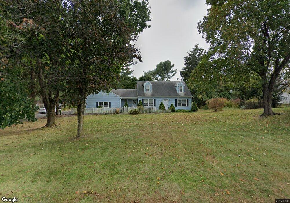
442 Cranbury Rd Princeton Junction, NJ 08550
Estimated Value: $941,108 - $1,206,000
--
Bed
--
Bath
3,829
Sq Ft
$270/Sq Ft
Est. Value
About This Home
This home is located at 442 Cranbury Rd, Princeton Junction, NJ 08550 and is currently estimated at $1,034,703, approximately $270 per square foot. 442 Cranbury Rd is a home located in Mercer County with nearby schools including Maurice Hawk Elementary School, Millstone River School, and Community Middle School.
Ownership History
Date
Name
Owned For
Owner Type
Purchase Details
Closed on
Apr 4, 2011
Sold by
Mershon Elizabeth H
Bought by
Public Service Elec & Gas Co
Current Estimated Value
Home Financials for this Owner
Home Financials are based on the most recent Mortgage that was taken out on this home.
Interest Rate
4.86%
Purchase Details
Closed on
Nov 12, 2004
Purchase Details
Closed on
Nov 22, 1988
Sold by
Towbin Joel and Towbin Daniel
Bought by
Mershon Randolph E and Mershon Elizabeth H
Create a Home Valuation Report for This Property
The Home Valuation Report is an in-depth analysis detailing your home's value as well as a comparison with similar homes in the area
Home Values in the Area
Average Home Value in this Area
Purchase History
| Date | Buyer | Sale Price | Title Company |
|---|---|---|---|
| Public Service Elec & Gas Co | -- | -- | |
| -- | -- | -- | |
| Mershon Randolph E | $300,000 | -- |
Source: Public Records
Mortgage History
| Date | Status | Borrower | Loan Amount |
|---|---|---|---|
| Closed | Public Service Elec & Gas Co | -- |
Source: Public Records
Tax History Compared to Growth
Tax History
| Year | Tax Paid | Tax Assessment Tax Assessment Total Assessment is a certain percentage of the fair market value that is determined by local assessors to be the total taxable value of land and additions on the property. | Land | Improvement |
|---|---|---|---|---|
| 2025 | $16,195 | $528,400 | $195,300 | $333,100 |
| 2024 | $15,519 | $528,400 | $195,300 | $333,100 |
| 2023 | $15,519 | $528,400 | $195,300 | $333,100 |
| 2022 | $15,218 | $528,400 | $195,300 | $333,100 |
| 2021 | $15,091 | $528,400 | $195,300 | $333,100 |
| 2020 | $14,816 | $528,400 | $195,300 | $333,100 |
| 2019 | $14,647 | $528,400 | $195,300 | $333,100 |
| 2018 | $14,510 | $528,400 | $195,300 | $333,100 |
| 2017 | $14,209 | $528,400 | $195,300 | $333,100 |
| 2016 | $14,223 | $540,600 | $207,500 | $333,100 |
| 2015 | $13,893 | $540,600 | $207,500 | $333,100 |
| 2014 | $13,731 | $540,600 | $207,500 | $333,100 |
Source: Public Records
Map
Nearby Homes
- 7 Camas Ct
- 32 W Kincaid Dr
- 12 Corio Ct
- 2 Joanne St
- 4 Pond View Dr
- 5 Glengarry Way
- 22 Slayback Dr
- 20 Berkshire Dr
- 71 Riverwalk
- 45 Riverwalk
- 10 Manor Ridge Dr
- 100 Middlesex Blvd Unit 242
- 100 Middlesex Blvd Unit 211
- 90 Princeton Hightstown Rd
- 3103 Justin Dr
- 1005 Justin Dr Unit 1002
- 2902 Justin Dr
- 1402 Justin Dr Unit 1403
- 3102 Justin Dr
- 2904 Justin Dr Unit 2903
- 434 Cranbury Rd
- 446 Cranbury Rd
- 454 Cranbury Rd
- 431 Cranbury Rd
- 457 Cranbury Rd
- 420 Cranbury Rd
- 16 Dey Farm Rd
- 474 Cranbury Rd
- 14 Dey Farm Rd
- 18 Dey Farm Rd
- 402 Cranbury Rd
- 304 Cranbury Rd
- 15 Dey Farm Rd
- 296 Cranbury Rd
- 12 Rabbit Hill Rd
- 458 Cranbury Rd
- 17 Dey Farm Rd
- 295 Cranbury Rd
- 12 Dey Farm Rd
- 33 Barrington Dr