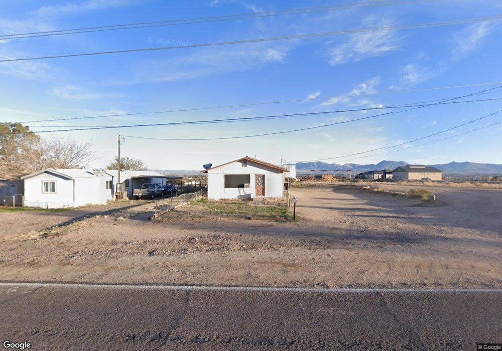
442 E Solomon Rd Safford, AZ 85546
Estimated Value: $273,000 - $384,000
--
Bed
--
Bath
1,416
Sq Ft
$242/Sq Ft
Est. Value
About This Home
This home is located at 442 E Solomon Rd, Safford, AZ 85546 and is currently estimated at $342,267, approximately $241 per square foot. 442 E Solomon Rd is a home located in Graham County with nearby schools including Dorothy Stinson School, Ruth Powell Elementary School, and Lafe Nelson School.
Ownership History
Date
Name
Owned For
Owner Type
Purchase Details
Closed on
Apr 9, 2025
Sold by
Ornelas Gabe G and Ornelas Donna
Bought by
Mathis Brooke and Mathis Jawon
Current Estimated Value
Home Financials for this Owner
Home Financials are based on the most recent Mortgage that was taken out on this home.
Original Mortgage
$280,000
Outstanding Balance
$278,783
Interest Rate
6.76%
Mortgage Type
New Conventional
Estimated Equity
$63,484
Purchase Details
Closed on
Aug 4, 2005
Sold by
Ornelas Ramona
Bought by
Ornelas Gabe G and Ornelas Donna
Create a Home Valuation Report for This Property
The Home Valuation Report is an in-depth analysis detailing your home's value as well as a comparison with similar homes in the area
Home Values in the Area
Average Home Value in this Area
Purchase History
| Date | Buyer | Sale Price | Title Company |
|---|---|---|---|
| Mathis Brooke | $350,000 | Stewart Title & Trust Of Phoen | |
| Ornelas Gabe G | -- | None Available |
Source: Public Records
Mortgage History
| Date | Status | Borrower | Loan Amount |
|---|---|---|---|
| Open | Mathis Brooke | $280,000 |
Source: Public Records
Tax History Compared to Growth
Tax History
| Year | Tax Paid | Tax Assessment Tax Assessment Total Assessment is a certain percentage of the fair market value that is determined by local assessors to be the total taxable value of land and additions on the property. | Land | Improvement |
|---|---|---|---|---|
| 2026 | $418 | -- | -- | -- |
| 2025 | $418 | $7,453 | $685 | $6,768 |
| 2024 | $431 | $6,798 | $438 | $6,360 |
| 2023 | $431 | $5,458 | $400 | $5,058 |
| 2022 | $421 | $4,720 | $314 | $4,406 |
| 2021 | $475 | $0 | $0 | $0 |
| 2020 | $476 | $0 | $0 | $0 |
| 2019 | $560 | $0 | $0 | $0 |
| 2018 | $570 | $0 | $0 | $0 |
| 2017 | $521 | $0 | $0 | $0 |
| 2016 | $491 | $0 | $0 | $0 |
| 2015 | $456 | $0 | $0 | $0 |
Source: Public Records
Map
Nearby Homes
- 3354 S Us Highway 191
- APN# 103-22-018
- 400 E Observatory St
- 315 W 24th St
- 8th and Discovery --
- 417 E Lone Star Rd
- 550 W Burrell Ln
- 222 E 20th St
- 1006 W Palm Cir
- 1318 W 26th St
- 2464 S Montierth Ln
- 1405 W 24th St
- 10 Santa fe Place
- 832 W Stirrup Dr
- 0 Star Fire Cir Unit 1719797
- 0 Star Fire Cir Unit 1719796
- 0 Star Fire Cir Unit 4 22415917
- 1785 Camilla Cir
- 514 W 15th St
- 120 Relation St Unit 2
- 398 E Solomon Rd
- 475 E Solomon Rd
- 493 E Solomon Rd
- 531 E Solomon Rd
- 3242 Quintero Ln
- 457 E Solomon Rd
- 500 E Solomon Rd
- 216 E Solomon Rd
- 216 E Solomon Rd
- 3157 S Aztec St
- 668 E Solomon Rd
- 268 E Navajo St
- 234 E Navajo St
- 178 E Solomon Rd
- 3166 S Aztec St
- 750 E Solomon Rd
- 156 E Navajo St
- 3104 S Aztec St
- 3017 S Aztec St
- 298 E Navajo St