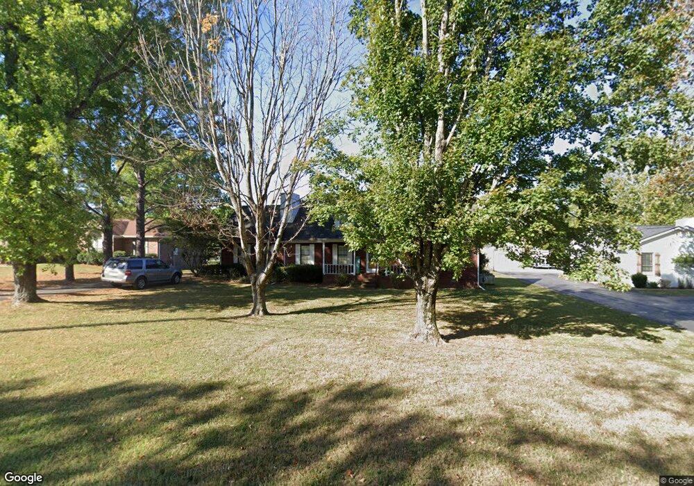
442 Gresham Ln Murfreesboro, TN 37129
Estimated Value: $411,564 - $461,000
Studio
2
Baths
2,139
Sq Ft
$209/Sq Ft
Est. Value
About This Home
This home is located at 442 Gresham Ln, Murfreesboro, TN 37129 and is currently estimated at $446,641, approximately $208 per square foot. 442 Gresham Ln is a home located in Rutherford County with nearby schools including Blackman Elementary School, Blackman Middle School, and Blackman High School.
Ownership History
Date
Name
Owned For
Owner Type
Purchase Details
Closed on
Aug 21, 2001
Sold by
Hedrick and Patricia
Bought by
Langley Charley L and Langley Jamie
Current Estimated Value
Home Financials for this Owner
Home Financials are based on the most recent Mortgage that was taken out on this home.
Original Mortgage
$127,484
Outstanding Balance
$49,478
Interest Rate
7.08%
Estimated Equity
$397,163
Purchase Details
Closed on
Aug 30, 1995
Sold by
Samuelson Mark E
Bought by
Hedrick Randall C
Create a Home Valuation Report for This Property
The Home Valuation Report is an in-depth analysis detailing your home's value as well as a comparison with similar homes in the area
Home Values in the Area
Average Home Value in this Area
Purchase History
| Date | Buyer | Sale Price | Title Company |
|---|---|---|---|
| Langley Charley L | $128,500 | -- | |
| Hedrick Randall C | $95,900 | -- |
Source: Public Records
Mortgage History
| Date | Status | Borrower | Loan Amount |
|---|---|---|---|
| Open | Hedrick Randall C | $127,484 |
Source: Public Records
Tax History
| Year | Tax Paid | Tax Assessment Tax Assessment Total Assessment is a certain percentage of the fair market value that is determined by local assessors to be the total taxable value of land and additions on the property. | Land | Improvement |
|---|---|---|---|---|
| 2025 | $1,704 | $90,800 | $13,750 | $77,050 |
| 2024 | $1,704 | $90,800 | $13,750 | $77,050 |
| 2023 | $1,694 | $90,300 | $13,750 | $76,550 |
| 2022 | $1,459 | $90,300 | $13,750 | $76,550 |
| 2021 | $1,388 | $62,550 | $9,250 | $53,300 |
| 2020 | $1,388 | $62,550 | $9,250 | $53,300 |
| 2019 | $1,388 | $62,550 | $9,250 | $53,300 |
| 2018 | $1,313 | $62,550 | $0 | $0 |
| 2017 | $1,248 | $46,550 | $0 | $0 |
| 2016 | $1,248 | $46,550 | $0 | $0 |
| 2015 | $1,248 | $46,550 | $0 | $0 |
| 2014 | $1,158 | $46,550 | $0 | $0 |
| 2013 | -- | $41,175 | $0 | $0 |
Source: Public Records
Map
Nearby Homes
- 524 Gresham Ln
- 2301 Miranda Dr
- 555 Gresham Ln Unit 2 D
- 510 Nightcap Ln
- 2537 Miranda Dr
- 516 Gresham Ln
- 3404 Whitebud Ln
- 3411 Juneberry Way
- 3437 Axelwood Dr
- 3511 Quaker Ct
- 3520 Boxelder Way
- 452 Campfire Dr
- 411 Campfire Dr
- 2905 Stonehedge Dr
- 3741 Southbend Dr
- 825 Kaylee Cir
- 810 Staten Dr
- 689 Doe Dr
- 3715 Red Willow Ct
- 2729 Stonehedge Dr
- 432 Gresham Ln
- 452 Gresham Ln
- 2326 Aaron Ct
- 422 Gresham Ln
- 423 Gresham Ln
- 431 Gresham Ln
- 2325 Aaron Ct
- 2336 Aaron Ct
- 421 Gresham Ln
- 392 Gresham Ln
- 391 Gresham Ln
- 2335 Aaron Ct
- 2314 Clairmont Dr
- 511 Gresham Ln
- 2324 Clairmont Dr
- 542 Sharondale Dr
- 532 Sharondale Dr
- 492 Sharondale Dr
- 552 Sharondale Dr
- 0 Gresham Ln
Your Personal Tour Guide
Ask me questions while you tour the home.