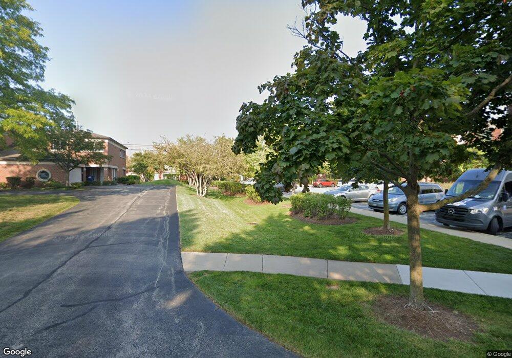
442 Kelburn Rd Unit RD44232 Deerfield, IL 60015
Estimated Value: $238,117 - $313,000
1
Bed
1
Bath
842
Sq Ft
$333/Sq Ft
Est. Value
About This Home
This home is located at 442 Kelburn Rd Unit RD44232, Deerfield, IL 60015 and is currently estimated at $280,029, approximately $332 per square foot. 442 Kelburn Rd Unit RD44232 is a home located in Lake County with nearby schools including South Park Elementary School, Charles J Caruso Middle School, and Deerfield High School.
Ownership History
Date
Name
Owned For
Owner Type
Purchase Details
Closed on
Sep 9, 1998
Sold by
American National Bk & Tr Co Of Chicago
Bought by
Passen Deborah E
Current Estimated Value
Home Financials for this Owner
Home Financials are based on the most recent Mortgage that was taken out on this home.
Original Mortgage
$40,000
Interest Rate
6.97%
Create a Home Valuation Report for This Property
The Home Valuation Report is an in-depth analysis detailing your home's value as well as a comparison with similar homes in the area
Home Values in the Area
Average Home Value in this Area
Purchase History
| Date | Buyer | Sale Price | Title Company |
|---|---|---|---|
| Passen Deborah E | $142,500 | Chicago Title Insurance Co |
Source: Public Records
Mortgage History
| Date | Status | Borrower | Loan Amount |
|---|---|---|---|
| Closed | Passen Deborah E | $40,000 |
Source: Public Records
Tax History Compared to Growth
Tax History
| Year | Tax Paid | Tax Assessment Tax Assessment Total Assessment is a certain percentage of the fair market value that is determined by local assessors to be the total taxable value of land and additions on the property. | Land | Improvement |
|---|---|---|---|---|
| 2024 | $3,736 | $63,844 | $7,749 | $56,095 |
| 2023 | $4,414 | $55,701 | $6,761 | $48,940 |
| 2022 | $4,414 | $57,594 | $7,345 | $50,249 |
| 2021 | $4,133 | $55,529 | $7,082 | $48,447 |
| 2020 | $3,977 | $55,646 | $7,097 | $48,549 |
| 2019 | $3,966 | $56,365 | $7,085 | $49,280 |
| 2018 | $3,754 | $50,864 | $7,509 | $43,355 |
| 2017 | $3,723 | $50,702 | $7,485 | $43,217 |
| 2016 | $3,606 | $48,785 | $7,202 | $41,583 |
| 2015 | $3,509 | $45,838 | $6,767 | $39,071 |
| 2014 | $3,509 | $45,309 | $6,815 | $38,494 |
| 2012 | $3,782 | $48,814 | $6,755 | $42,059 |
Source: Public Records
Map
Nearby Homes
- 679 Central Ave
- 441 Elm St Unit 3A
- 610 Robert York Ave Unit 104
- 372 Kelburn Rd Unit 313
- 382 Kelburn Rd Unit 122
- 630 Hermitage Dr
- 361 Kelburn Rd Unit 316
- 956 Brookside Ln
- 1009 Central Ave
- 757 Kipling Place
- 1038 Brookside Ln
- 860 Kenton Rd
- 745 Price Ln
- 312 Pine St
- 904 Forest Ave
- 505 Margate Terrace
- 717 Brierhill Rd
- 1103 Hazel Ave
- 805 Brand Ln
- 1115 Kenton Rd
- 441 Kelburn Rd Unit 213
- 442 Kelburn Rd Unit RD44232
- 442 Kelburn Rd Unit RD44232
- 442 Kelburn Rd Unit RD44232
- 442 Kelburn Rd Unit RD44232
- 442 Kelburn Rd Unit RD44222
- 442 Kelburn Rd Unit RD44222
- 442 Kelburn Rd Unit RD44222
- 442 Kelburn Rd Unit RD44222
- 442 Kelburn Rd Unit RD44222
- 442 Kelburn Rd Unit RD44222
- 442 Kelburn Rd Unit RD44212
- 442 Kelburn Rd Unit RD44212
- 442 Kelburn Rd Unit RD44212
- 442 Kelburn Rd Unit RD44212
- 441 Kelburn Rd Unit RD44131
- 441 Kelburn Rd Unit RD44131
- 441 Kelburn Rd Unit RD44131
- 441 Kelburn Rd Unit RD44131
- 441 Kelburn Rd Unit RD44131