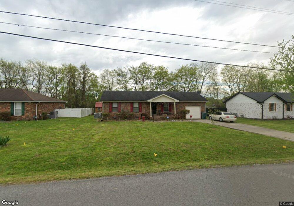
442 Lealand Ln Lebanon, TN 37087
Estimated Value: $292,976 - $340,000
--
Bed
2
Baths
1,218
Sq Ft
$266/Sq Ft
Est. Value
About This Home
This home is located at 442 Lealand Ln, Lebanon, TN 37087 and is currently estimated at $323,494, approximately $265 per square foot. 442 Lealand Ln is a home located in Wilson County with nearby schools including Sam Houston Elementary School, Walter J. Baird Middle School, and Lebanon High School.
Ownership History
Date
Name
Owned For
Owner Type
Purchase Details
Closed on
Oct 20, 1994
Sold by
Wayne Carpenter Billy
Bought by
Neal Lindsey M
Current Estimated Value
Purchase Details
Closed on
May 4, 1990
Bought by
Carpenter Billy Wayne
Purchase Details
Closed on
Aug 4, 1988
Bought by
Hicks Geneva
Purchase Details
Closed on
Mar 11, 1988
Bought by
Cornwell Don
Purchase Details
Closed on
Apr 4, 1904
Bought by
Wright Bass and Wright Betty
Create a Home Valuation Report for This Property
The Home Valuation Report is an in-depth analysis detailing your home's value as well as a comparison with similar homes in the area
Home Values in the Area
Average Home Value in this Area
Purchase History
| Date | Buyer | Sale Price | Title Company |
|---|---|---|---|
| Neal Lindsey M | $74,900 | -- | |
| Carpenter Billy Wayne | -- | -- | |
| Hicks Geneva | $65,000 | -- | |
| Cornwell Don | $14,500 | -- | |
| Wright Bass | -- | -- |
Source: Public Records
Tax History Compared to Growth
Tax History
| Year | Tax Paid | Tax Assessment Tax Assessment Total Assessment is a certain percentage of the fair market value that is determined by local assessors to be the total taxable value of land and additions on the property. | Land | Improvement |
|---|---|---|---|---|
| 2024 | $1,061 | $52,300 | $15,000 | $37,300 |
| 2022 | $1,369 | $52,300 | $15,000 | $37,300 |
| 2021 | $1,512 | $52,300 | $15,000 | $37,300 |
| 2020 | $1,352 | $52,300 | $15,000 | $37,300 |
| 2019 | $308 | $35,950 | $9,250 | $26,700 |
| 2018 | $1,262 | $35,950 | $9,250 | $26,700 |
| 2017 | $1,262 | $35,950 | $9,250 | $26,700 |
| 2016 | $1,262 | $35,950 | $9,250 | $26,700 |
| 2015 | $1,304 | $35,950 | $9,250 | $26,700 |
| 2014 | $1,083 | $29,851 | $0 | $0 |
Source: Public Records
Map
Nearby Homes
- 896 Long Leaf Rd
- 409 Mini Dr
- 1011 Shirley Dr
- 1243 Tucker Dr
- 1235 Tucker Dr
- 1210 Tucker Dr
- 1228 Tucker Dr
- 1212 Tucker Dr
- 1206 Tucker Dr
- 1231 Tucker Dr
- 1208 Tucker Dr
- 1241 Tucker Dr
- 1237 Tucker Dr
- 1233 Tucker Dr
- 409 Princeton Dr
- ARIA Plan at Hartmann Crossing
- CALI Plan at Hartmann Crossing
- BELFORT Plan at Hartmann Crossing
- EDMON Plan at Hartmann Crossing
- HAYDEN Plan at Hartmann Crossing
- 440 Lealand Ln
- 444 Lealand Ln
- 433 Sam Houston Dr
- 435 Sam Houston Dr
- 443 Lealand Ln
- 438 Lealand Ln
- 446 Lealand Ln
- 431 Sam Houston Dr
- 437 Sam Houston Dr
- 445 Lealand Ln
- 1303 Wrightford Dr
- 436 Lealand Ln
- 448 Lealand Ln
- 437 Lealand Ln
- 429 Sam Houston Dr
- 439 Sam Houston Dr
- 447 Lealand Ln
- 1302 Wrightford Dr
- 1305 Wrightford Dr
- 434 Lealand Ln