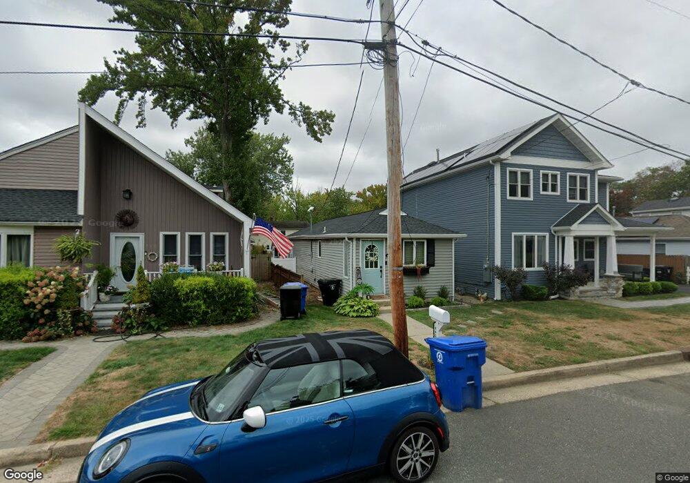
442 Monmouth Ave Leonardo, NJ 07737
Estimated Value: $341,000 - $411,000
2
Beds
1
Bath
714
Sq Ft
$522/Sq Ft
Est. Value
About This Home
This home is located at 442 Monmouth Ave, Leonardo, NJ 07737 and is currently estimated at $372,636, approximately $521 per square foot. 442 Monmouth Ave is a home located in Monmouth County with nearby schools including Leonardo Elementary School, Bayshore Middle School, and Middletown - South High School.
Ownership History
Date
Name
Owned For
Owner Type
Purchase Details
Closed on
May 25, 2022
Sold by
Timothy Weimer
Bought by
Oneill Rose M
Current Estimated Value
Home Financials for this Owner
Home Financials are based on the most recent Mortgage that was taken out on this home.
Original Mortgage
$10,000
Outstanding Balance
$3,628
Interest Rate
5.25%
Mortgage Type
New Conventional
Estimated Equity
$369,008
Purchase Details
Closed on
May 12, 1995
Sold by
Sybel John
Bought by
Weimar Timothy
Create a Home Valuation Report for This Property
The Home Valuation Report is an in-depth analysis detailing your home's value as well as a comparison with similar homes in the area
Home Values in the Area
Average Home Value in this Area
Purchase History
| Date | Buyer | Sale Price | Title Company |
|---|---|---|---|
| Oneill Rose M | $215,000 | Fidelity National Title | |
| Oneill Rose M | $215,000 | Fidelity National Title | |
| Weimar Timothy | $40,000 | -- |
Source: Public Records
Mortgage History
| Date | Status | Borrower | Loan Amount |
|---|---|---|---|
| Open | Oneill Rose M | $10,000 | |
| Closed | Oneill Rose M | $10,000 |
Source: Public Records
Tax History Compared to Growth
Tax History
| Year | Tax Paid | Tax Assessment Tax Assessment Total Assessment is a certain percentage of the fair market value that is determined by local assessors to be the total taxable value of land and additions on the property. | Land | Improvement |
|---|---|---|---|---|
| 2025 | $4,798 | $370,900 | $282,800 | $88,100 |
| 2024 | $4,561 | $291,700 | $205,300 | $86,400 |
| 2023 | $4,561 | $262,400 | $192,200 | $70,200 |
| 2022 | $4,089 | $223,600 | $158,200 | $65,400 |
| 2021 | $4,089 | $196,600 | $138,500 | $58,100 |
| 2020 | $3,750 | $175,400 | $128,700 | $46,700 |
| 2019 | $3,688 | $174,600 | $128,100 | $46,500 |
| 2018 | $2,993 | $138,100 | $93,800 | $44,300 |
| 2017 | $2,995 | $136,800 | $93,800 | $43,000 |
| 2016 | $2,996 | $140,600 | $93,800 | $46,800 |
| 2015 | $3,103 | $140,600 | $93,800 | $46,800 |
| 2014 | $3,089 | $136,500 | $93,800 | $42,700 |
Source: Public Records
Map
Nearby Homes
- 59 Florence Ave
- 28 Florence Ave
- 86 Washington Ave
- 43 Washington Ave
- 786 Leonardville Rd
- 46 Highland Ave
- 17 Washington Ave
- 149 9th St
- 46 Hosford Ave
- 310 East Rd
- 135 Railroad Ave
- 13 Brant Dr Unit Lot 5.09
- 16 Brant Dr Unit Lot 5.08
- 10 Brant Dr Unit Lot 5.05
- 5 Brant Dr Unit Lot 5.13
- 7 Brant Dr Unit Lot 5.12
- 79 Compton St Unit A & B
- 4 Brant Dr Unit Lot 5.02
- 573 Sumner Ave
- 41 South Ave
- 440 Monmouth Ave
- 444 Monmouth Ave
- 446 Monmouth Ave
- 438 Monmouth Ave
- 448 Monmouth Ave
- 436 Monmouth Ave
- 123 Center Ave
- 125 Center Ave
- 121 Center Ave
- 450 Monmouth Ave
- 434 Monmouth Ave
- 119 Center Ave
- 129 Center Ave
- 452 Monmouth Ave
- 439 Monmouth Ave
- 443 Monmouth Ave
- 437 Monmouth Ave
- 541 Ocean Blvd
- 445 Monmouth Ave
- 539 Ocean Blvd