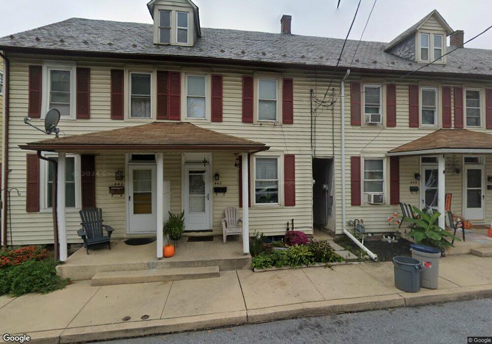
442 N Cedar St Lititz, PA 17543
Estimated Value: $202,000 - $246,000
3
Beds
1
Bath
1,196
Sq Ft
$190/Sq Ft
Est. Value
About This Home
This home is located at 442 N Cedar St, Lititz, PA 17543 and is currently estimated at $227,659, approximately $190 per square foot. 442 N Cedar St is a home located in Lancaster County with nearby schools including Warwick Senior High School, Lititz Christian School, and Linden Hall.
Ownership History
Date
Name
Owned For
Owner Type
Purchase Details
Closed on
Mar 15, 2000
Sold by
Sunland Company Inc
Bought by
Goeringer Grace K
Current Estimated Value
Home Financials for this Owner
Home Financials are based on the most recent Mortgage that was taken out on this home.
Original Mortgage
$67,000
Outstanding Balance
$22,740
Interest Rate
8.31%
Estimated Equity
$204,919
Create a Home Valuation Report for This Property
The Home Valuation Report is an in-depth analysis detailing your home's value as well as a comparison with similar homes in the area
Home Values in the Area
Average Home Value in this Area
Purchase History
| Date | Buyer | Sale Price | Title Company |
|---|---|---|---|
| Goeringer Grace K | $74,000 | -- |
Source: Public Records
Mortgage History
| Date | Status | Borrower | Loan Amount |
|---|---|---|---|
| Open | Goeringer Grace K | $67,000 |
Source: Public Records
Tax History Compared to Growth
Tax History
| Year | Tax Paid | Tax Assessment Tax Assessment Total Assessment is a certain percentage of the fair market value that is determined by local assessors to be the total taxable value of land and additions on the property. | Land | Improvement |
|---|---|---|---|---|
| 2025 | $2,552 | $112,800 | $34,500 | $78,300 |
| 2024 | $2,552 | $112,800 | $34,500 | $78,300 |
| 2023 | $2,542 | $112,800 | $34,500 | $78,300 |
| 2022 | $2,401 | $112,800 | $34,500 | $78,300 |
| 2021 | $2,401 | $112,800 | $34,500 | $78,300 |
| 2020 | $2,401 | $112,800 | $34,500 | $78,300 |
| 2019 | $2,401 | $112,800 | $34,500 | $78,300 |
| 2018 | $1,847 | $112,800 | $34,500 | $78,300 |
| 2017 | $2,028 | $74,900 | $30,700 | $44,200 |
| 2016 | $2,028 | $74,900 | $30,700 | $44,200 |
| 2015 | $474 | $74,900 | $30,700 | $44,200 |
| 2014 | $1,476 | $74,900 | $30,700 | $44,200 |
Source: Public Records
Map
Nearby Homes
- 2 Brookfield Rd
- 7 Brookfield Rd
- 210 Noble St
- 128 E New St
- 28 Brookview Dr
- 131 N Cedar St
- 34 E Market St
- 21 Silver Creek Rd
- 501 E New St
- 510 Bluebird Rd
- 319 N Broad St
- 425 Cardinal Rd
- 1 Cardiff Ct
- LOT 12 Thaton Rd
- LOT 14 Thaton Rd
- 47 W Lincoln Ave
- 601 E Main St
- 232 W Side Dr
- 333 Cameron Ln Unit DEVONSHIRE
- 333 Cameron Ln Unit NOTTINGHAM