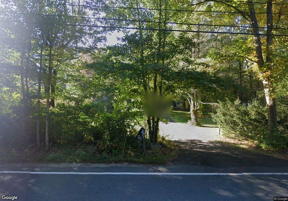
442 North St Georgetown, MA 01833
Estimated Value: $671,000 - $812,000
3
Beds
2
Baths
1,340
Sq Ft
$532/Sq Ft
Est. Value
About This Home
This home is located at 442 North St, Georgetown, MA 01833 and is currently estimated at $713,434, approximately $532 per square foot. 442 North St is a home located in Essex County with nearby schools including Perley Elementary School, Penn Brook School, and Georgetown High School.
Ownership History
Date
Name
Owned For
Owner Type
Purchase Details
Closed on
Jan 24, 2018
Sold by
Collins Barbara J and Cuevas Nelly A
Bought by
Collins Cuevas Ret
Current Estimated Value
Purchase Details
Closed on
Nov 21, 2006
Sold by
Bambury Leslie N and Bambury Robert E
Bought by
Collins Barbara J and Cuevas Nelly A
Home Financials for this Owner
Home Financials are based on the most recent Mortgage that was taken out on this home.
Original Mortgage
$66,000
Interest Rate
6.33%
Mortgage Type
Purchase Money Mortgage
Purchase Details
Closed on
Apr 18, 2000
Sold by
Sampson Patricia A and Reyes Roberto A
Bought by
Bambury Robert E and Bambury Leslie N
Purchase Details
Closed on
Jun 23, 1995
Sold by
Ravaris Lewis W and Ravaris Judith A
Bought by
Sampson Patricia A and Reyes Roberto A
Create a Home Valuation Report for This Property
The Home Valuation Report is an in-depth analysis detailing your home's value as well as a comparison with similar homes in the area
Home Values in the Area
Average Home Value in this Area
Purchase History
| Date | Buyer | Sale Price | Title Company |
|---|---|---|---|
| Collins Cuevas Ret | -- | -- | |
| Collins Barbara J | $366,000 | -- | |
| Bambury Robert E | $234,500 | -- | |
| Sampson Patricia A | $173,000 | -- |
Source: Public Records
Mortgage History
| Date | Status | Borrower | Loan Amount |
|---|---|---|---|
| Previous Owner | Sampson Patricia A | $66,000 | |
| Previous Owner | Sampson Patricia A | $150,000 | |
| Previous Owner | Sampson Patricia A | $20,000 |
Source: Public Records
Tax History Compared to Growth
Tax History
| Year | Tax Paid | Tax Assessment Tax Assessment Total Assessment is a certain percentage of the fair market value that is determined by local assessors to be the total taxable value of land and additions on the property. | Land | Improvement |
|---|---|---|---|---|
| 2025 | $7,701 | $696,300 | $280,500 | $415,800 |
| 2024 | $7,245 | $577,300 | $193,700 | $383,600 |
| 2023 | $6,041 | $465,400 | $193,700 | $271,700 |
| 2022 | $5,657 | $401,800 | $168,500 | $233,300 |
| 2021 | $6,385 | $401,800 | $168,500 | $233,300 |
| 2020 | $6,097 | $383,000 | $168,500 | $214,500 |
| 2019 | $5,919 | $375,100 | $165,300 | $209,800 |
| 2018 | $5,137 | $323,500 | $165,300 | $158,200 |
| 2017 | $5,244 | $323,500 | $165,300 | $158,200 |
| 2016 | $5,134 | $323,500 | $165,300 | $158,200 |
| 2015 | $5,009 | $312,500 | $165,300 | $147,200 |
| 2014 | $4,391 | $312,500 | $165,300 | $147,200 |
Source: Public Records
Map
Nearby Homes
- 424 North St
- 444 North St
- 18 Amburg St
- 20 Amburg St
- 5 Meadowview Rd
- 422 North St
- 439 North St
- 22 Amburg St
- 446 North St
- 435 North St
- 19 Amburg St
- 14 Amburg St
- 0 Stone Row Ln Unit 70907069
- 0 Stone Row Ln Unit 70907080
- 0 Stone Row Ln Unit 70908719
- 0 Stone Row Ln Unit 70952651
- 0 Stone Row Ln Unit 1
- 0 Stone Row Ln Unit 3
- 0 Stone Row Ln Unit 2
- 0 Stone Row Ln