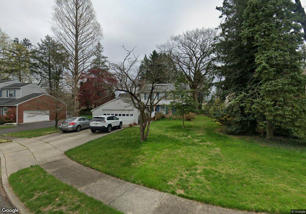
442 Shady Ln Moorestown, NJ 08057
Estimated Value: $506,904 - $702,000
--
Bed
--
Bath
1,734
Sq Ft
$347/Sq Ft
Est. Value
About This Home
This home is located at 442 Shady Ln, Moorestown, NJ 08057 and is currently estimated at $601,976, approximately $347 per square foot. 442 Shady Ln is a home located in Burlington County with nearby schools including Mary E. Roberts Elementary School, Moorestown Upper Elementary School, and William Allen Middle School.
Ownership History
Date
Name
Owned For
Owner Type
Purchase Details
Closed on
Nov 5, 2009
Sold by
Joseph Edward R
Bought by
Joseph Edward R and Joseph Barbara Ann
Current Estimated Value
Purchase Details
Closed on
Sep 29, 2004
Sold by
Joseph Rosalie M
Bought by
Joseph Edward R
Create a Home Valuation Report for This Property
The Home Valuation Report is an in-depth analysis detailing your home's value as well as a comparison with similar homes in the area
Home Values in the Area
Average Home Value in this Area
Purchase History
| Date | Buyer | Sale Price | Title Company |
|---|---|---|---|
| Joseph Edward R | -- | None Available | |
| Joseph Edward R | -- | -- |
Source: Public Records
Tax History Compared to Growth
Tax History
| Year | Tax Paid | Tax Assessment Tax Assessment Total Assessment is a certain percentage of the fair market value that is determined by local assessors to be the total taxable value of land and additions on the property. | Land | Improvement |
|---|---|---|---|---|
| 2025 | $8,190 | $288,700 | $167,500 | $121,200 |
| 2024 | $7,942 | $288,700 | $167,500 | $121,200 |
| 2023 | $7,942 | $288,700 | $167,500 | $121,200 |
| 2022 | $7,861 | $288,700 | $167,500 | $121,200 |
| 2021 | $6,912 | $288,700 | $167,500 | $121,200 |
| 2020 | $7,708 | $288,700 | $167,500 | $121,200 |
| 2019 | $7,573 | $288,700 | $167,500 | $121,200 |
| 2018 | $7,368 | $288,700 | $167,500 | $121,200 |
| 2017 | $7,181 | $288,700 | $167,500 | $121,200 |
| 2016 | $7,155 | $288,700 | $167,500 | $121,200 |
| 2015 | $7,316 | $288,700 | $167,500 | $121,200 |
| 2014 | $6,946 | $288,700 | $167,500 | $121,200 |
Source: Public Records
Map
Nearby Homes
- 600 Stratford Dr
- 601 Stratford Dr
- 316 W 3rd St
- 308 Kenwood Dr
- 313 Fairview Ave
- 4 W Close
- 129 S Church St
- 310 S Washington Ave
- 531 Covington Terrace
- 423 Park Blvd
- 308 Farmdale Rd
- 316 Farmdale Rd
- 4 E Sutton Ave
- 11 E Sutton Ave
- 15 E 2nd St
- 543 Bethel Ave
- 217 Hooton Rd
- 601 S Church St
- 50 E 3rd St
- 709 Manor Terrace
- 444 Shady Ln
- 440 Shady Ln
- 443 Crescent Ave
- 441 Shady Ln
- 441 Crescent Ave
- 439 Shady Ln
- 443 Shady Ln
- 446 Shady Ln
- 118 Colonial Ave
- 199 Highland Ave
- 122 Colonial Ave
- 189 Highland Ave
- 112 Colonial Ave
- 406 Kings Hwy
- 404 Kings Hwy
- 185 Highland Ave
- 100 Colonial Ave
- 440 Crescent Ave
- 408 Kings Hwy
- 196 Highland Ave