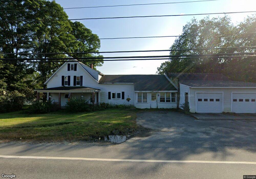
442 Us Route 4 Enfield, NH 03748
Estimated Value: $319,000 - $541,000
5
Beds
3
Baths
3,391
Sq Ft
$127/Sq Ft
Est. Value
About This Home
This home is located at 442 Us Route 4, Enfield, NH 03748 and is currently estimated at $432,300, approximately $127 per square foot. 442 Us Route 4 is a home with nearby schools including Enfield Village School, Indian River School, and Mascoma Valley Regional High School.
Ownership History
Date
Name
Owned For
Owner Type
Purchase Details
Closed on
Apr 30, 2021
Sold by
Andrew Carol B and Andrew Wallace N
Bought by
Wilson Meaghan A and Wilson Geoffrey E
Current Estimated Value
Home Financials for this Owner
Home Financials are based on the most recent Mortgage that was taken out on this home.
Original Mortgage
$164,000
Outstanding Balance
$147,106
Interest Rate
3%
Mortgage Type
Purchase Money Mortgage
Estimated Equity
$285,194
Purchase Details
Closed on
Aug 12, 1987
Bought by
Andrew Carol B and Andrew Wallace N
Create a Home Valuation Report for This Property
The Home Valuation Report is an in-depth analysis detailing your home's value as well as a comparison with similar homes in the area
Home Values in the Area
Average Home Value in this Area
Purchase History
| Date | Buyer | Sale Price | Title Company |
|---|---|---|---|
| Wilson Meaghan A | $205,000 | None Available | |
| Andrew Carol B | -- | -- |
Source: Public Records
Mortgage History
| Date | Status | Borrower | Loan Amount |
|---|---|---|---|
| Open | Wilson Meaghan A | $164,000 | |
| Previous Owner | Andrew Carol B | $173,000 |
Source: Public Records
Tax History
| Year | Tax Paid | Tax Assessment Tax Assessment Total Assessment is a certain percentage of the fair market value that is determined by local assessors to be the total taxable value of land and additions on the property. | Land | Improvement |
|---|---|---|---|---|
| 2025 | $6,483 | $363,600 | $104,700 | $258,900 |
| 2024 | $6,148 | $363,600 | $104,700 | $258,900 |
| 2023 | $6,510 | $239,700 | $70,900 | $168,800 |
| 2022 | $6,172 | $239,700 | $70,900 | $168,800 |
| 2021 | $6,019 | $239,700 | $70,900 | $168,800 |
| 2020 | $6,100 | $239,700 | $70,900 | $168,800 |
| 2015 | $5,901 | $235,300 | $56,000 | $179,300 |
| 2014 | $6,098 | $263,300 | $69,500 | $193,800 |
| 2013 | $5,614 | $263,300 | $69,500 | $193,800 |
| 2012 | $5,345 | $263,300 | $69,500 | $193,800 |
Source: Public Records
Map
Nearby Homes
- 0 Lovejoy Brook Rd
- 10 Chester Ln Unit 4
- 347 U S 4
- 25 Union St
- 0 US Route 4 Unit 36
- 278 U S 4
- 41 Chosen Vale Ln
- 49 Chosen Vale Ln
- 93 Chosen Vale Ln
- 11 Bryant Ln
- 56 Daniels Dr
- 695 Dartmouth College Hwy Unit 15
- 695 Dartmouth College Hwy Unit 16
- 453 Rt 4 Dr
- 86 Route 4a Unit 19U
- 86 Nh Route 4a Unit 8L
- 86 Nh Route 4a Unit 5U
- 11 Marsten Ln Unit 33
- 0 Manchester Dr Unit 26
- 14 Turner Place Unit 343
Your Personal Tour Guide
Ask me questions while you tour the home.