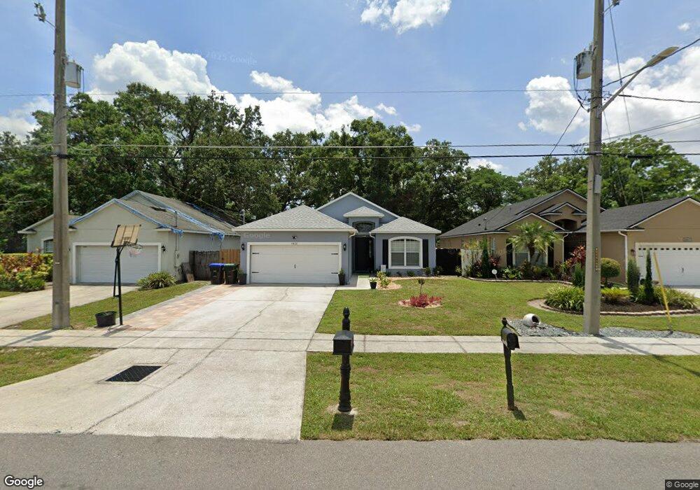
4420 Carter St Orlando, FL 32811
Malibu Groves NeighborhoodEstimated Value: $208,000 - $275,921
3
Beds
2
Baths
1,324
Sq Ft
$186/Sq Ft
Est. Value
About This Home
This home is located at 4420 Carter St, Orlando, FL 32811 and is currently estimated at $245,730, approximately $185 per square foot. 4420 Carter St is a home located in Orange County with nearby schools including Ivey Lane Elementary School, Carver Middle School, and Jones High School.
Ownership History
Date
Name
Owned For
Owner Type
Purchase Details
Closed on
Jun 14, 2024
Sold by
Reklaw Inc
Bought by
Broadus Constance K
Current Estimated Value
Home Financials for this Owner
Home Financials are based on the most recent Mortgage that was taken out on this home.
Original Mortgage
$177,401
Interest Rate
6.09%
Mortgage Type
New Conventional
Purchase Details
Closed on
Mar 17, 2005
Sold by
Kenon Beatrice R Williams
Bought by
Reklaw Inc
Create a Home Valuation Report for This Property
The Home Valuation Report is an in-depth analysis detailing your home's value as well as a comparison with similar homes in the area
Home Values in the Area
Average Home Value in this Area
Purchase History
| Date | Buyer | Sale Price | Title Company |
|---|---|---|---|
| Broadus Constance K | $211,500 | Selectitle | |
| Reklaw Inc | $17,000 | -- |
Source: Public Records
Mortgage History
| Date | Status | Borrower | Loan Amount |
|---|---|---|---|
| Open | Broadus Constance K | $177,401 | |
| Previous Owner | Broadus Constance K | $177,401 |
Source: Public Records
Tax History Compared to Growth
Tax History
| Year | Tax Paid | Tax Assessment Tax Assessment Total Assessment is a certain percentage of the fair market value that is determined by local assessors to be the total taxable value of land and additions on the property. | Land | Improvement |
|---|---|---|---|---|
| 2025 | $3,312 | $258,940 | $55,500 | $203,440 |
| 2024 | $2,949 | $249,270 | $55,500 | $193,770 |
| 2023 | $2,949 | $219,734 | $40,500 | $179,234 |
| 2022 | $2,710 | $203,001 | $38,000 | $165,001 |
| 2021 | $2,350 | $155,917 | $24,000 | $131,917 |
| 2020 | $2,096 | $143,431 | $22,000 | $121,431 |
| 2019 | $2,148 | $146,955 | $36,200 | $110,755 |
| 2018 | $1,885 | $117,824 | $10,000 | $107,824 |
| 2017 | $1,758 | $107,962 | $3,000 | $104,962 |
| 2016 | $1,688 | $104,762 | $3,000 | $101,762 |
| 2015 | $1,437 | $76,391 | $4,000 | $72,391 |
| 2014 | $1,421 | $73,257 | $4,200 | $69,057 |
Source: Public Records
Map
Nearby Homes
- 770 S Ivey Ln
- 664 S Ivey Ln
- 802 S Ivey Ln
- 4409 W Gore Ave
- 4546 Malibu St
- 4420 W Gore St
- 772 Willie Mays Pkwy
- 4438 W Gore Ave
- 4555 Malibu St
- 828 Willie Mays Pkwy
- 4621 College Dr
- 442 Fanfair Ave
- 4640 College Dr
- 1009 S Ivey Ln
- 4789 Pleasant Valley Ct
- 4217 W Jackson St
- 4231 Raleigh St
- 1035 Willie Mays Pkwy
- 4644 Barley St
- 76 Judith Ln
- 4414 Carter St
- 4426 Carter St
- 4432 Carter St
- 4421 America St
- 4415 America St
- 4438 Carter St
- 4427 America St
- 4409 America St
- 4437 America St
- 710 S Ivey Ln
- 704 S Ivey Ln
- 4419 Carter St
- 4425 Carter St
- 4439 America St
- 4413 Carter St
- 718 S Ivey Ln
- 722 S Ivey Ln Unit 2
- 722 S Ivey Ln
- 4431 Carter St
- 4446 America St