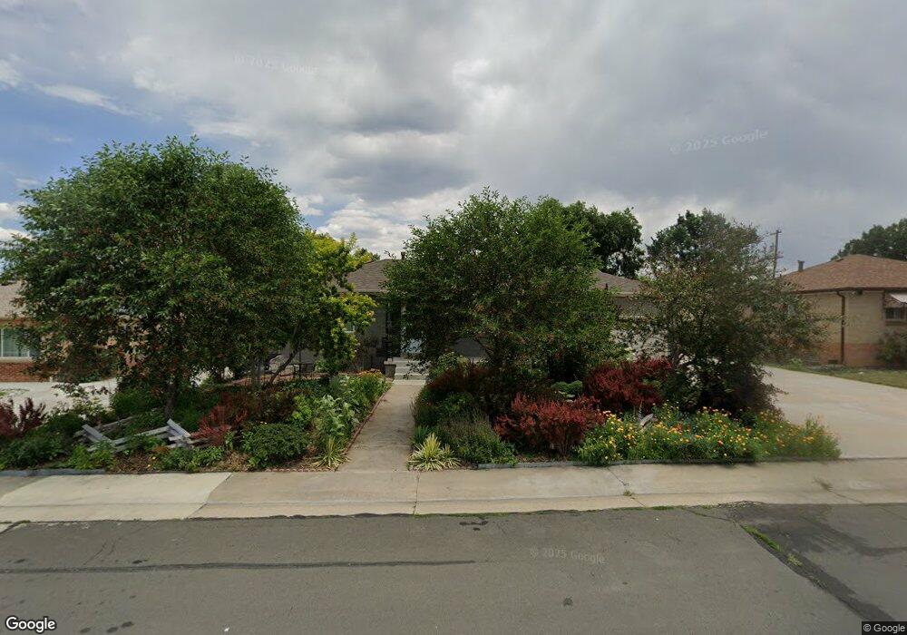
4420 Saulsbury St Wheat Ridge, CO 80033
Barths NeighborhoodEstimated Value: $593,828 - $663,000
4
Beds
2
Baths
2,160
Sq Ft
$292/Sq Ft
Est. Value
About This Home
This home is located at 4420 Saulsbury St, Wheat Ridge, CO 80033 and is currently estimated at $630,457, approximately $291 per square foot. 4420 Saulsbury St is a home located in Jefferson County with nearby schools including Stevens Elementary School, Everitt Middle School, and Wheat Ridge High School.
Ownership History
Date
Name
Owned For
Owner Type
Purchase Details
Closed on
Feb 24, 2012
Sold by
Larsen Don L and Larsen Vicki L
Bought by
Salazar Deborah A
Current Estimated Value
Home Financials for this Owner
Home Financials are based on the most recent Mortgage that was taken out on this home.
Original Mortgage
$218,000
Outstanding Balance
$150,321
Interest Rate
3.95%
Mortgage Type
New Conventional
Estimated Equity
$480,136
Purchase Details
Closed on
Jan 30, 2009
Sold by
Larsen Don Loren and Vandermolen Joan Lorene
Bought by
Larsen Don L and Larsen Vicki L
Create a Home Valuation Report for This Property
The Home Valuation Report is an in-depth analysis detailing your home's value as well as a comparison with similar homes in the area
Home Values in the Area
Average Home Value in this Area
Purchase History
| Date | Buyer | Sale Price | Title Company |
|---|---|---|---|
| Salazar Deborah A | $219,000 | Stewart Title | |
| Larsen Don L | -- | None Available |
Source: Public Records
Mortgage History
| Date | Status | Borrower | Loan Amount |
|---|---|---|---|
| Open | Salazar Deborah A | $218,000 |
Source: Public Records
Tax History Compared to Growth
Tax History
| Year | Tax Paid | Tax Assessment Tax Assessment Total Assessment is a certain percentage of the fair market value that is determined by local assessors to be the total taxable value of land and additions on the property. | Land | Improvement |
|---|---|---|---|---|
| 2024 | $3,314 | $37,905 | $14,489 | $23,416 |
| 2023 | $3,314 | $37,905 | $14,489 | $23,416 |
| 2022 | $2,832 | $31,811 | $14,520 | $17,291 |
| 2021 | $2,872 | $32,726 | $14,938 | $17,788 |
| 2020 | $2,692 | $30,832 | $14,096 | $16,736 |
| 2019 | $2,655 | $30,832 | $14,096 | $16,736 |
| 2018 | $2,507 | $28,137 | $8,490 | $19,647 |
| 2017 | $2,264 | $28,137 | $8,490 | $19,647 |
| 2016 | $2,079 | $24,172 | $5,967 | $18,205 |
| 2015 | $1,700 | $24,172 | $5,967 | $18,205 |
| 2014 | $1,700 | $18,547 | $5,445 | $13,102 |
Source: Public Records
Map
Nearby Homes
- 7010 W 44th Ave
- 4420 Teller St
- 4541 Reed St
- 4125 Pierce St
- 4095 Quay St
- 4635 Teller St
- 4026 Upham St
- 4014 Upham St
- 4024 Upham St
- 4008 Upham St
- 6920 W 47th Place
- 4730 Pierce St
- 6920 W 48th Ave Unit 6920
- 4730 Otis St
- 7221 W 48th Ave
- 4711 Wadsworth Blvd
- 7808 W 43rd Place
- 3830 Pierce St
- 3820 Pierce St
- 3830 Otis St Unit 1-4
- 4430 Saulsbury St
- 4400 Saulsbury St
- 4425 Reed St
- 4440 Saulsbury St
- 4435 Reed St
- 7005 W 44th Ave
- 4415 Saulsbury St
- 4445 Reed St
- 4450 Saulsbury St
- 4425 Saulsbury St
- 7020 W 44th Ave
- 4455 Reed St
- 4395 Reed St
- 4460 Saulsbury St
- 4420 Reed St
- 4430 Reed St
- 7110 W 44th Ave
- 6995 W 44th Ave
- 4465 Reed St
- 4410 Teller St