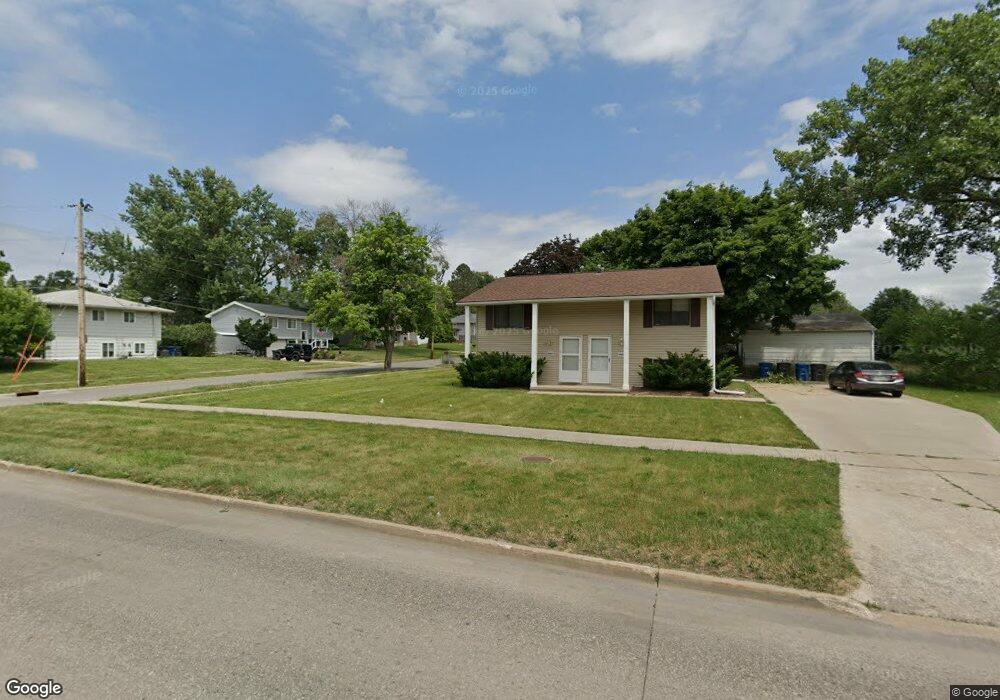
4421 South Union St Des Moines, IA 50315
South Central DSM NeighborhoodEstimated Value: $188,816 - $252,000
4
Beds
2
Baths
918
Sq Ft
$240/Sq Ft
Est. Value
About This Home
This home is located at 4421 South Union St, Des Moines, IA 50315 and is currently estimated at $219,954, approximately $239 per square foot. 4421 South Union St is a home located in Polk County with nearby schools including South Union Elementary School, Weeks Middle School, and Lincoln High School.
Ownership History
Date
Name
Owned For
Owner Type
Purchase Details
Closed on
Sep 28, 2017
Sold by
Knueven Patrick L and Knueven Mary E
Bought by
Jackson Jeremiah J
Current Estimated Value
Home Financials for this Owner
Home Financials are based on the most recent Mortgage that was taken out on this home.
Original Mortgage
$110,625
Outstanding Balance
$92,280
Interest Rate
3.86%
Mortgage Type
New Conventional
Estimated Equity
$127,674
Purchase Details
Closed on
Apr 12, 2012
Sold by
Kemokai Peter and Kemokai Hawa
Bought by
Seventh Llc
Create a Home Valuation Report for This Property
The Home Valuation Report is an in-depth analysis detailing your home's value as well as a comparison with similar homes in the area
Home Values in the Area
Average Home Value in this Area
Purchase History
| Date | Buyer | Sale Price | Title Company |
|---|---|---|---|
| Jackson Jeremiah J | $147,500 | None Available | |
| Seventh Llc | $64,500 | None Available |
Source: Public Records
Mortgage History
| Date | Status | Borrower | Loan Amount |
|---|---|---|---|
| Open | Jackson Jeremiah J | $110,625 |
Source: Public Records
Tax History Compared to Growth
Tax History
| Year | Tax Paid | Tax Assessment Tax Assessment Total Assessment is a certain percentage of the fair market value that is determined by local assessors to be the total taxable value of land and additions on the property. | Land | Improvement |
|---|---|---|---|---|
| 2025 | $3,226 | $182,300 | $38,400 | $143,900 |
| 2024 | $3,226 | $164,000 | $33,900 | $130,100 |
| 2023 | $3,196 | $164,000 | $33,900 | $130,100 |
| 2022 | $3,172 | $135,600 | $29,700 | $105,900 |
| 2021 | $3,082 | $135,600 | $29,700 | $105,900 |
| 2020 | $3,202 | $123,500 | $26,800 | $96,700 |
| 2019 | $2,762 | $123,500 | $26,800 | $96,700 |
| 2018 | $2,734 | $102,800 | $23,000 | $79,800 |
| 2017 | $2,632 | $102,800 | $23,000 | $79,800 |
| 2016 | $2,564 | $97,300 | $21,400 | $75,900 |
| 2015 | $2,564 | $97,300 | $21,400 | $75,900 |
| 2014 | $2,438 | $95,200 | $20,500 | $74,700 |
Source: Public Records
Map
Nearby Homes
- 108 E Philip St
- 126 E Maxwelton Dr
- 209 E Philip St
- 304 Herold Ave
- 515 Emma Ave
- 311 E Emma Ave
- 518 Maxwelton Dr
- 212 Titus Ave
- 612 Emma Ave
- 4316 SE 4th St
- 118 E Watrous Ave
- 3822 SW 2nd St
- 409 Wilmers Ave
- 299 Hackley Ave
- 520 Hackley Ave
- 448 Scandia Ave
- . Herold Ave
- 3634 SW 4th St
- 3903 SW 9th St
- 930 Emma Ave
- 4421 & 4423 S Union St
- 7 E Philip St
- 4501 South Union St
- 4501 S Union St
- 11 E Philip St
- 6 E Maxwelton Dr
- 4401 South Union St
- 4401 S Union St
- 4414 South Union St
- 10 E Maxwelton Dr
- 8 E Philip St
- 4412 South Union St
- 4416 South Union St
- 17 E Philip St
- 12 E Philip St
- 108 Philip St
- 16 E Maxwelton Dr
- 16 E Philip St
- 4504 South Union St
- 23 E Philip St