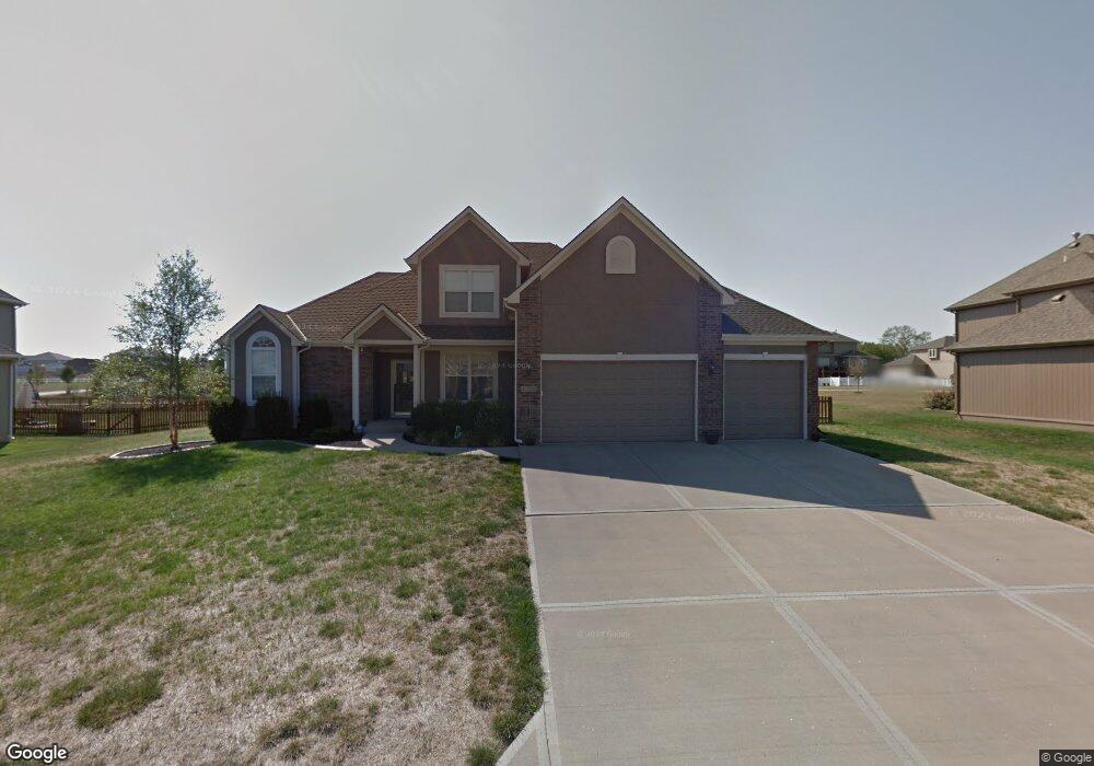
4428 SW Admiral Byrd Dr Lees Summit, MO 64082
Estimated Value: $428,000 - $605,000
4
Beds
3
Baths
2,640
Sq Ft
$196/Sq Ft
Est. Value
About This Home
This home is located at 4428 SW Admiral Byrd Dr, Lees Summit, MO 64082 and is currently estimated at $516,630, approximately $195 per square foot. 4428 SW Admiral Byrd Dr is a home located in Jackson County with nearby schools including Trailridge Elementary School, Summit Lakes Middle School, and Lee's Summit West High School.
Ownership History
Date
Name
Owned For
Owner Type
Purchase Details
Closed on
Feb 11, 2004
Sold by
Ty Const & Residential Contracting Llc
Bought by
Bigge John M and Bigge Lisa M
Current Estimated Value
Home Financials for this Owner
Home Financials are based on the most recent Mortgage that was taken out on this home.
Original Mortgage
$280,192
Outstanding Balance
$129,947
Interest Rate
5.67%
Mortgage Type
Purchase Money Mortgage
Estimated Equity
$386,683
Create a Home Valuation Report for This Property
The Home Valuation Report is an in-depth analysis detailing your home's value as well as a comparison with similar homes in the area
Home Values in the Area
Average Home Value in this Area
Purchase History
| Date | Buyer | Sale Price | Title Company |
|---|---|---|---|
| Bigge John M | -- | Coffelt Land Title Inc |
Source: Public Records
Mortgage History
| Date | Status | Borrower | Loan Amount |
|---|---|---|---|
| Open | Bigge John M | $280,192 |
Source: Public Records
Tax History Compared to Growth
Tax History
| Year | Tax Paid | Tax Assessment Tax Assessment Total Assessment is a certain percentage of the fair market value that is determined by local assessors to be the total taxable value of land and additions on the property. | Land | Improvement |
|---|---|---|---|---|
| 2025 | $4,802 | $73,387 | $14,514 | $58,873 |
| 2024 | $5,660 | $66,500 | $8,696 | $57,804 |
| 2023 | $5,660 | $78,957 | $13,285 | $65,672 |
| 2022 | $5,031 | $62,320 | $8,760 | $53,560 |
| 2021 | $5,135 | $62,320 | $8,760 | $53,560 |
| 2020 | $5,184 | $62,299 | $8,760 | $53,539 |
| 2019 | $5,042 | $62,299 | $8,760 | $53,539 |
| 2018 | $4,729 | $54,220 | $7,624 | $46,596 |
| 2017 | $4,478 | $54,220 | $7,624 | $46,596 |
| 2016 | $4,478 | $50,825 | $10,944 | $39,881 |
| 2014 | $4,218 | $46,930 | $11,284 | $35,646 |
Source: Public Records
Map
Nearby Homes
- 4641 SW Soldier Dr
- 4605 SW Olympia Cir
- 4600 SW Admiral Byrd Dr
- 4647 SW Olympia Place
- 1022 SW Cheshire Dr
- 4528 SW Berkshire Dr
- 1021 SW Cheshire Dr
- 4520 SW Berkshire Dr
- 4400 SW Rivulet Dr
- 4624 SW Robinson Dr
- 4628 SW Robinson Dr
- 917 SW Soldier Ct
- 1100 SW Blackpool Dr
- 4510 SW Fenwick Rd
- 732 SW Raintree Dr
- 1128 SW Whitby Dr
- 1132 SW Whitby Dr
- 501 SW Stacey Dr
- 1136 SW Whitby Dr
- Cambridge Plan at Kensington Farms - Kennsington Farms
- 4424 SW Admiral Byrd Dr
- 4432 SW Admiral Byrd Dr
- 4427 SW Admiral Byrd Dr
- 4420 SW Admiral Byrd Dr
- 937 SW Raintree Dr
- 4423 SW Admiral Byrd Dr
- 4431 SW Admiral Byrd Dr
- 933 SW Raintree Dr
- 941 SW Raintree Dr
- 4419 SW Admiral Byrd Dr
- 4500 SW Admiral Byrd Dr
- 929 SW Raintree Dr
- 4416 SW Admiral Byrd Dr
- 4501 SW Raintree Dr
- 4501 SW Admiral Byrd Dr
- 4415 SW Admiral Byrd Dr
- 925 SW Raintree Dr
- 4505 SW Raintree Dr
- 4080 SW Raintree Dr
- 4504 SW Admiral Byrd Dr