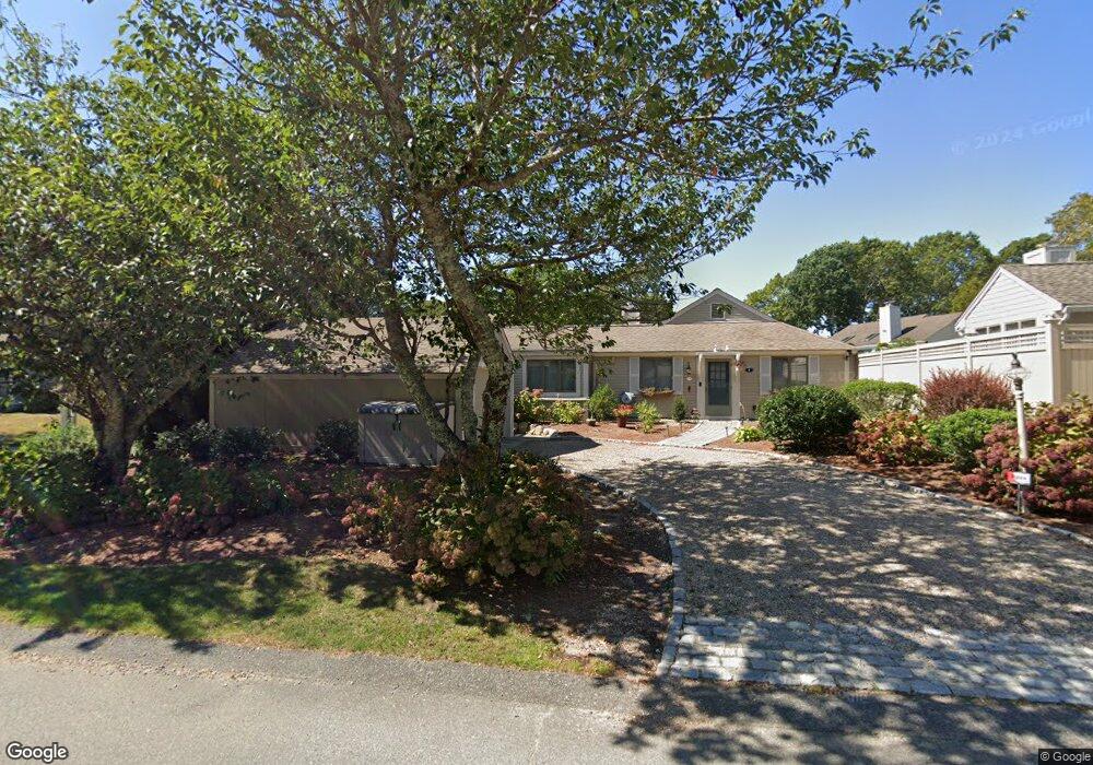
443 Brassie Way Mashpee, MA 02649
New Seabury-Popponesset Island NeighborhoodEstimated Value: $845,985 - $937,000
2
Beds
2
Baths
1,538
Sq Ft
$590/Sq Ft
Est. Value
About This Home
This home is located at 443 Brassie Way, Mashpee, MA 02649 and is currently estimated at $907,246, approximately $589 per square foot. 443 Brassie Way is a home located in Barnstable County with nearby schools including Kenneth C. Coombs School, Quashnet School, and Mashpee Middle School.
Ownership History
Date
Name
Owned For
Owner Type
Purchase Details
Closed on
Jul 17, 2007
Sold by
Cohn Dorothy E and Cohn Richard W
Bought by
Cohn Dorothy E
Current Estimated Value
Create a Home Valuation Report for This Property
The Home Valuation Report is an in-depth analysis detailing your home's value as well as a comparison with similar homes in the area
Home Values in the Area
Average Home Value in this Area
Purchase History
| Date | Buyer | Sale Price | Title Company |
|---|---|---|---|
| Cohn Dorothy E | -- | -- |
Source: Public Records
Tax History Compared to Growth
Tax History
| Year | Tax Paid | Tax Assessment Tax Assessment Total Assessment is a certain percentage of the fair market value that is determined by local assessors to be the total taxable value of land and additions on the property. | Land | Improvement |
|---|---|---|---|---|
| 2025 | $4,814 | $727,200 | $350,600 | $376,600 |
| 2024 | $4,358 | $677,700 | $318,800 | $358,900 |
| 2023 | $4,058 | $578,900 | $280,200 | $298,700 |
| 2022 | $3,880 | $474,900 | $227,800 | $247,100 |
| 2021 | $3,769 | $415,500 | $205,200 | $210,300 |
| 2020 | $3,791 | $417,000 | $213,800 | $203,200 |
| 2019 | $3,674 | $406,000 | $213,800 | $192,200 |
| 2018 | $3,269 | $366,500 | $213,800 | $152,700 |
| 2017 | $3,247 | $353,300 | $213,800 | $139,500 |
| 2016 | $3,195 | $345,800 | $213,800 | $132,000 |
| 2015 | $3,097 | $340,000 | $213,800 | $126,200 |
| 2014 | $3,149 | $335,400 | $210,600 | $124,800 |
Source: Public Records
Map
Nearby Homes
- 6 Brassie Way
- 442 Brassie Way
- 10 Brassie Way
- 441 Brassie Way
- 68 7525 Mid-Iron Way Unit 7525
- 7026 Mid-Iron Way Unit 7026
- 7018 Mid-Iron Way Unit 7018
- 3 Mashie Cir
- 12 Brassie Way
- 440 Brassie Way
- 401 Brassie Way
- 5 Brassie Way
- 445 Mashie Cir
- 5 Mashie Cir
- 400 Brassie Way
- 3 Brassie Way
- 439 Brassie Way
- 16 Brassie Way
- 402 Brassie Way