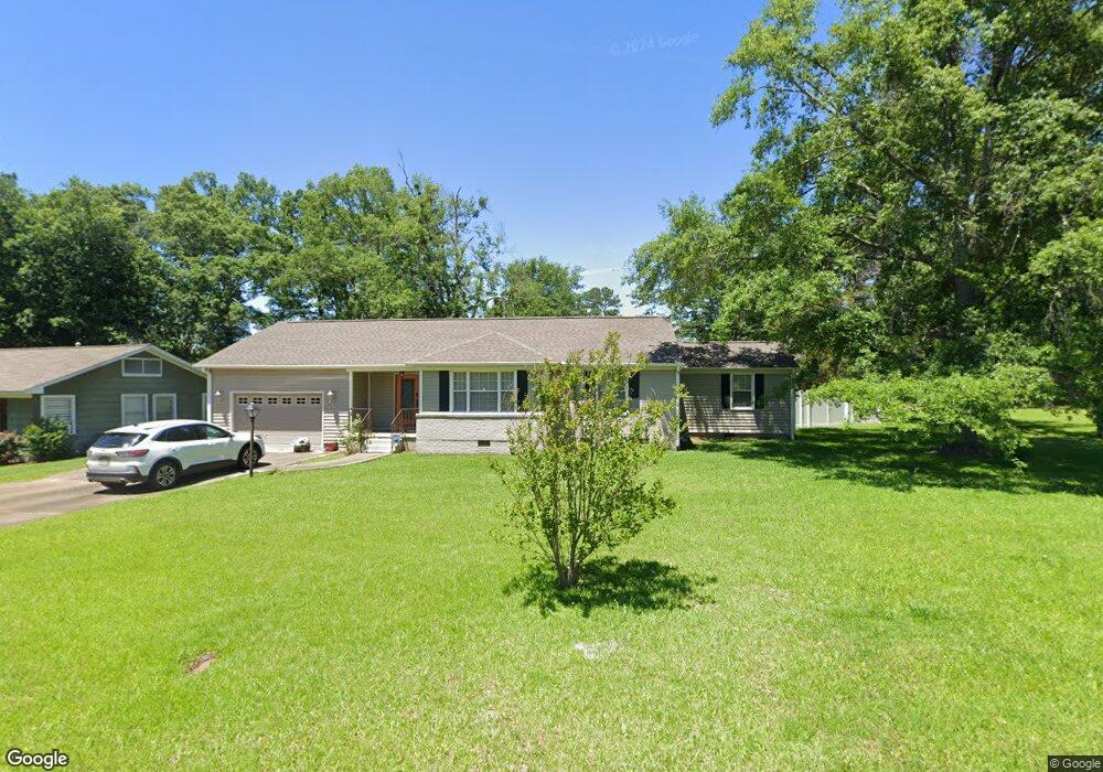
443 Clark Cr West Point, MI 39773
Estimated Value: $162,000 - $251,000
3
Beds
2
Baths
2,649
Sq Ft
$77/Sq Ft
Est. Value
About This Home
This home is located at 443 Clark Cr, West Point, MI 39773 and is currently estimated at $203,316, approximately $76 per square foot. 443 Clark Cr is a home located in Clay County with nearby schools including East Side Elementary School, West Clay Elementary School, and Church Hill Elementary School.
Ownership History
Date
Name
Owned For
Owner Type
Purchase Details
Closed on
Aug 1, 2022
Sold by
Thompson Brenda S
Bought by
Brasell Patrick Andrews and Moore Lauren M
Current Estimated Value
Create a Home Valuation Report for This Property
The Home Valuation Report is an in-depth analysis detailing your home's value as well as a comparison with similar homes in the area
Home Values in the Area
Average Home Value in this Area
Purchase History
| Date | Buyer | Sale Price | Title Company |
|---|---|---|---|
| Brasell Patrick Andrews | -- | Ross Law Office Pllc |
Source: Public Records
Tax History Compared to Growth
Tax History
| Year | Tax Paid | Tax Assessment Tax Assessment Total Assessment is a certain percentage of the fair market value that is determined by local assessors to be the total taxable value of land and additions on the property. | Land | Improvement |
|---|---|---|---|---|
| 2024 | $1,127 | $20,783 | $2,099 | $18,684 |
| 2023 | $2,599 | $17,367 | $2,099 | $15,268 |
| 2022 | $214 | $11,402 | $1,400 | $10,002 |
| 2021 | $213 | $11,402 | $1,400 | $10,002 |
| 2020 | $215 | $11,402 | $1,400 | $10,002 |
| 2019 | $200 | $11,402 | $1,400 | $10,002 |
| 2018 | $192 | $11,402 | $1,400 | $10,002 |
| 2017 | $192 | $11,402 | $1,400 | $10,002 |
| 2016 | $189 | $11,402 | $1,400 | $10,002 |
| 2015 | $132 | $10,154 | $1,400 | $8,754 |
| 2014 | $312 | $10,154 | $1,400 | $8,754 |
| 2013 | $312 | $10,154 | $1,400 | $8,754 |
Source: Public Records
Map
Nearby Homes
- 15 David St
- 1046 E Brame Ave
- 44 Torbert Dr
- 472 S Eshman Ave
- 389 Mapleview Rd
- 329 Converse Dr
- 278 Converse Dr
- 219 Mapleview Rd
- 238 Calhoun St
- 402 Cromwell St
- 551 E Westbrook St
- 161 Mapleview Rd
- 480 E Westbrook St
- 485 E Westbrook St
- 479 E Westbrook St
- 1180 E Broad St
- 1104 E Broad St
- 1153 E Broad St
- 346 E Brame Ave
- 500 Grove St